Scholfield Creek
- 10.2 mi
- distance
- 581 ft
- high point
- Feb–Nov
- best months
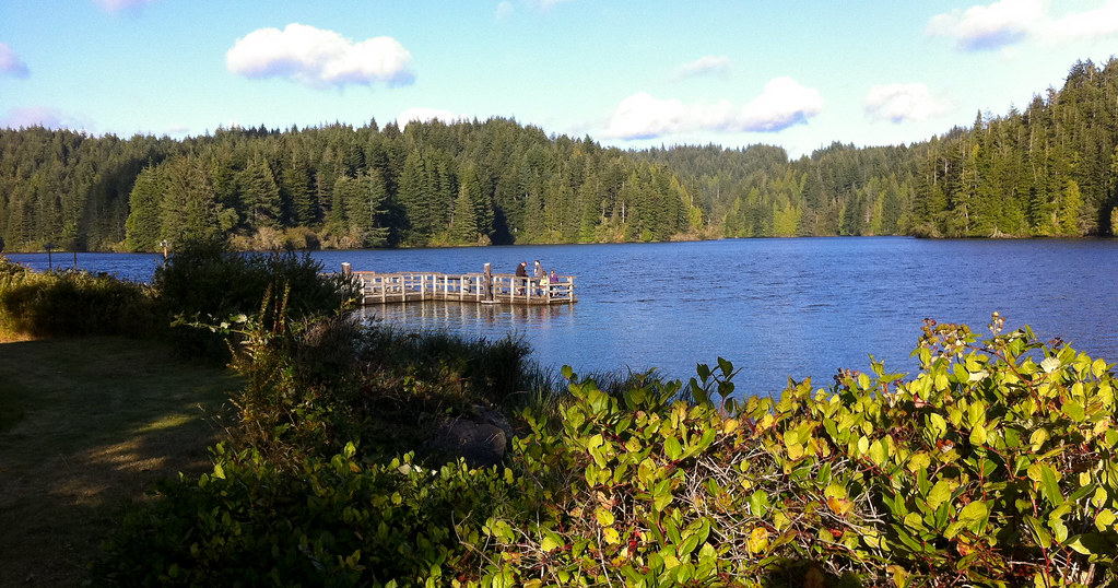
Scholfield Creek is a paddling route in Oregon, about 4 miles from the town of Reedsport. It is a canoeing waterway, and the closest paddling spots are Big Creek and Dean Creek, both within 4 miles. Summer is the mildest time to get on the water. Typical averages from a nearby weather station show July and August highs around 70°F with lows near 52°F, and temperatures at the creek run a little cooler than those figures because the station sits several hundred feet lower. Other paddling options in the area include Eel Creek, about 6.5 miles away. For time on foot, the Schuttpelz East Trail and Hall Lake Loop are both about 7 miles off.
- Big CreekCanoeing3.5 mi
- Dean CreekCanoeing3.6 mi
- Eel CreekCanoeing6.5 mi
 Schuttpelz East TrailHikingPhoto: shinyobject, CC BY 2.0 (via Flickr)7.2 mi
- Schuttpelz Lake TrailHikingPhoto: shinyobject, CC BY 2.0 (via Flickr)7.2 mi
- Hall Lake LoopHikingPhoto: shinyobject, CC BY 2.0 (via Flickr)7.2 mi
- Eel Creek CampgroundCamping7.7 mi
- Umpqua Dunes Sand CampsCamping7.8 mi
Source: Roamze catalog (indexable pages within 10 miles, PostGIS distance)
 West Fork Millicoma RiverCanoeing · ~16 min drivePhoto: Finetooth, CC BY-SA 3.0 (via Wikimedia Commons)
- Spinreel Boat LaunchBoat launch · ~16 min drive
 East Fork Millicoma RiverCanoeing · ~29 min drivePhoto: Finetooth, CC BY-SA 3.0 (via Wikimedia Commons)
- Tahkenitch Landing Boat RampBoat launch · ~19 min drive
- Big CreekCanoeing · ~6 min drive
- Tahkenitch Lake Boat RampBoat launch · ~19 min drive
- Dean CreekCanoeing · ~6 min drive
- Loon Lake Day-Use AreaBoat launch · ~20 min drive
- Eel CreekCanoeing · ~11 min drive
- Carter Lake Boat RampBoat launch · ~25 min drive
Best time to visit Scholfield Creek
Best months: February–November. Best months have typical highs of 55–85 °F, lows of 30 °F or warmer (32 °F where the station doesn't record snow), at most one snowy day and no more than 12 wet days.
Jan
54° / 39°
Feb
55° / 39°
Mar
56° / 39°
Apr
59° / 42°
May
62° / 46°
Jun
66° / 49°
Jul
70° / 52°
Aug
70° / 52°
Sep
71° / 50°
Oct
65° / 46°
Nov
58° / 42°
Dec
53° / 39°
Typical high / low (°F) and days with rain or snow, 1991–2020. Measured at Winchester Bay Coast Grd, OR, 6.2 mi away at 8 ft. The station sits about 600 ft lower than this place, so expect it a little cooler here. This station doesn't record snowfall. Source: NOAA NCEI U.S. Climate Normals 1991–2020.
