Scotty Creek Trail #838
- 2.1 mi
- round trip
- 1,258 ft
- climb
- 4,281 ft
- high point
- Out and back
- route
- Apr–Oct
- best months
Is Scotty Creek Trail #838 open right now?
Closure in the area
There's a closure order in Ochoco National Forest. It doesn't name Scotty Creek Trail #838, so check the source for the area it covers.
Rowe Creek Complex Emergency Closure Order
Agency closure covering Ochoco National Forest · Order 06-07-26-04 · USFS · Ochoco National Forest
Blue-Green Algae Information
Agency alert covering Ochoco National Forest · USFS · Ochoco National Forest
Prescribed Fire information
Agency alert covering Ochoco National Forest · USFS · Ochoco National Forest
As of · Source: USFS · Ochoco National Forest. Agencies don't list every closure — check before you go.
Scotty Creek Trail #838 is a 2.05-mile hike on Forest Service land in the Lookout Mountain Ranger District of Ochoco National Forest in Oregon. The route is an out-and-back that starts at about 4,281 feet and climbs to a high point of 4,281 feet, with a total gain of 1,258 feet over the course of the trip. The steepest section comes within the first 0.11 miles, with a grade of about 16 percent. Summer is the most comfortable time to go. Typical July highs reach about 83°F with lows near 51°F, and August is similar, based on averages from a nearby weather station in Mitchell. Winter is cold, with typical January highs around 43°F. The hike takes about two hours. Whistler campground is about 2.3 miles away, and the Scotty Creek and Wildcat hikes are within about 2.6 miles.
- SCOTTY CREEKHiking1.2 mi
- WhistlerCamping2.3 mi
- WildcatHiking2.6 mi
- McGinnis Creek TrailHiking2.7 mi
- Cougar Creek Trail #835Hiking2.8 mi
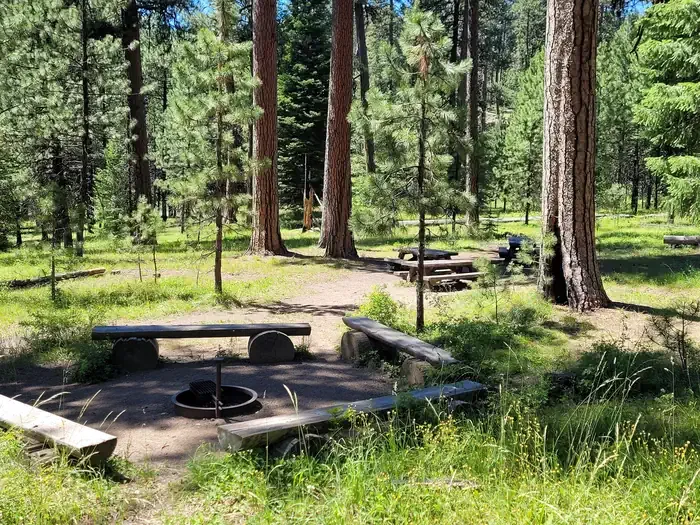 Ochoco Divide Group SiteCampingPhoto: Recreation.gov (RIDB) / public domain3.2 mi
- Bingham SpringCamping4 mi
- WildwoodCamping6 mi
Source: Roamze catalog (indexable pages within 10 miles, PostGIS distance)
 Steins PillarHiking · ~21 min drivePhoto: U.S. Forest Service- Pacific Northwest Region, Public domain (via Wikimedia Commons)
 Painted Hills OverlookHiking · ~21 min drivePhoto: Moo.The.Cow, CC BY 2.0 (via Flickr)
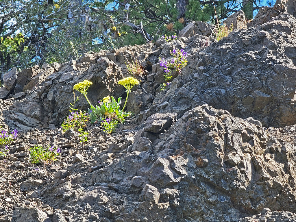 Independent MineHiking · ~23 min drivePhoto: AndreyZharkikh, CC BY 2.0 (via Flickr)
- Wildcat TrailHiking · ~11 min drive
 Carroll RimHiking · ~22 min drivePhoto: lamblukas, CC BY 2.0 (via Flickr)
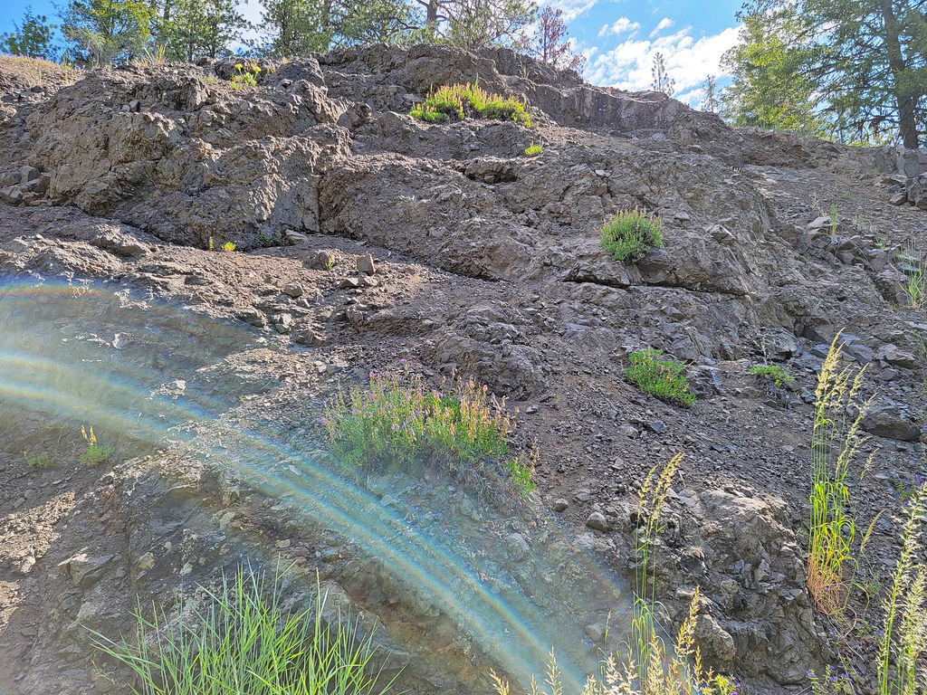 Lookout MountainHiking · ~22 min drivePhoto: AndreyZharkikh, CC BY 2.0 (via Flickr)
- Giddy-Up-GoHiking · ~22 min drivePhoto: U.S. Forest Service- Pacific Northwest Region, Public domain (via Wikimedia Commons)
- Green Mountain TrailHiking · ~26 min drive
- Scotty Creek Trail #838Hiking · ~2 min drive
- Baneberry TrailHiking · ~22 min drivePhoto: AndreyZharkikh, CC BY 2.0 (via Flickr)
Also worth it near here
- Mcginnis CreekCross-country skiing · ~5 min drive
- Ochoco Divide Group SiteCamping · ~6 min drive
 Lake TrailMountain biking · ~13 min drivePhoto: Chaneyforkriver, CC BY-SA 4.0 (via Wikimedia Commons)
 Steins OverlookRock climbing · ~20 min drivePhoto: U.S. Forest Service- Pacific Northwest Region, Public domain (via Wikimedia Commons)
Best time to visit Scotty Creek Trail #838
Best months: April–October. Best months have typical highs of 55–85 °F, lows of 30 °F or warmer (32 °F where the station doesn't record snow), at most one snowy day and no more than 12 wet days.
Jan
43° / 26°
10 wet
Feb
46° / 26°
9 wet
Mar
52° / 29°
10 wet
Apr
57° / 33°
10 wet
May
65° / 39°
10 wet
Jun
72° / 44°
7 wet
Jul
83° / 51°
4 wet
Aug
82° / 51°
3 wet
Sep
75° / 45°
5 wet
Oct
62° / 37°
8 wet
Nov
50° / 30°
9 wet
Dec
41° / 25°
11 wet
Typical high / low (°F) and days with rain or snow, 1991–2020. Measured at Mitchell 2 E, OR, 16.7 mi away at 3,320 ft. The station sits about 1,000 ft lower than this place, so expect it a little cooler here. This station doesn't record snowfall. Source: NOAA NCEI U.S. Climate Normals 1991–2020.
Map and trail data © OpenStreetMap contributors
