Green Mountain Trail
- 7.7 mi
- round trip
- 2,930 ft
- climb
- 5,500 ft
- high point
- Out and back
- route
Is Green Mountain Trail open right now?
Closure in the area
There's a closure order in Ochoco National Forest. It doesn't name Green Mountain Trail, so check the source for the area it covers.
Rowe Creek Complex Emergency Closure Order
Agency closure covering Ochoco National Forest · Order 06-07-26-04 · USFS · Ochoco National Forest
Blue-Green Algae Information
Agency alert covering Ochoco National Forest · USFS · Ochoco National Forest
Prescribed Fire information
Agency alert covering Ochoco National Forest · USFS · Ochoco National Forest
As of · Source: USFS · Ochoco National Forest. Agencies don't list every closure — check before you go.
Green Mountain Trail is a 15.4-mile out-and-back hike in Oregon's Ochoco National Forest, within the Lookout Mountain Ranger District. The trail starts at about 4,600 feet and climbs to a high point of 5,500 feet, with a total elevation gain of 2,930 feet over the round trip. The steepest stretch comes at about 7.5 miles, where the grade reaches 17 percent. The route is rated expert, and the Forest Service manages the land. The trip takes about 6.5 hours. Plan for a full day, with time to rest and take in the views. The trail is a long, steep climb, and the return is just as much as the ascent. Nearby, Giddy-Up-Go Tie and Giddy-Up-Go are both hikes about 2.5 miles away. Steins Pillar is about 4 miles off, and Wildcat campground is about 7 miles away.
Local outfitters
- Nighthawk Naturalist School38 mi away
- ULLR Backcountry38 mi away
Not on Roamze yet. Their page has how to reach them.
- Giddy-Up-Go TieHiking2.4 mi
 Giddy-Up-GoHikingPhoto: U.S. Forest Service- Pacific Northwest Region, Public domain (via Wikimedia Commons)2.5 mi
- Steins PillarHikingPhoto: U.S. Forest Service- Pacific Northwest Region, Public domain (via Wikimedia Commons)4.1 mi
 Steins OverlookRock climbingPhoto: U.S. Forest Service- Pacific Northwest Region, Public domain (via Wikimedia Commons)4.4 mi
 Ochoco CreekCanoeingPhoto: Finetooth, CC BY-SA 3.0 (via Wikimedia Commons)6.2 mi
- WildcatCamping7 mi
- Barnes ButteRock climbing7.7 mi
- White RockCamping8.3 mi
Source: Roamze catalog (indexable pages within 10 miles, PostGIS distance)
- Steins PillarHiking · ~7 min drivePhoto: U.S. Forest Service- Pacific Northwest Region, Public domain (via Wikimedia Commons)
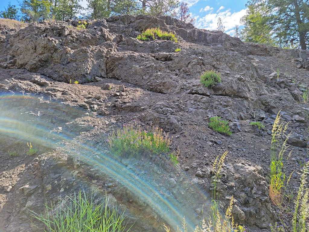 Mother Lode Mine Trail #808AHiking · ~30 min drivePhoto: AndreyZharkikh, CC BY 2.0 (via Flickr)
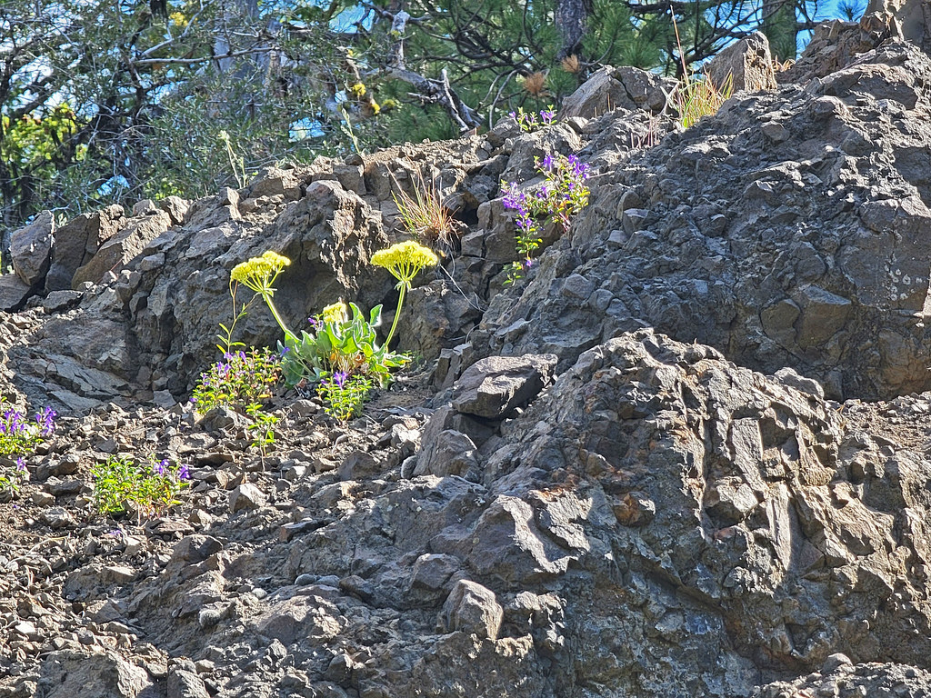 Independent MineHiking · ~30 min drivePhoto: AndreyZharkikh, CC BY 2.0 (via Flickr)
- Wildcat TrailHiking · ~17 min drive
- Scotty Creek Trail #838Hiking · ~26 min drive
- Lookout Mountain TrailHiking · ~30 min drivePhoto: AndreyZharkikh, CC BY 2.0 (via Flickr)
- Giddy-Up-GoHiking · ~4 min drivePhoto: U.S. Forest Service- Pacific Northwest Region, Public domain (via Wikimedia Commons)
- Scotty Creek Trail #838Hiking · ~26 min drive
- BaneberryHiking · ~30 min drivePhoto: AndreyZharkikh, CC BY 2.0 (via Flickr)
- PotlidHiking · ~14 min drive
Also worth it near here
- Steins OverlookRock climbing · ~8 min drivePhoto: U.S. Forest Service- Pacific Northwest Region, Public domain (via Wikimedia Commons)
- Ochoco CreekCanoeing · ~11 min drivePhoto: Finetooth, CC BY-SA 3.0 (via Wikimedia Commons)
- Lower Crooked River Back Country BywayScenic drive · ~16 min drive
- Grizzly MountainSummit · ~21 min drive
Map and trail data © OpenStreetMap contributors
