Giddy-Up-Go
 Photo: U.S. Forest Service- Pacific Northwest Region, Public domain (via Wikimedia Commons)
- 7.2 mi
- loop
- 1,564 ft
- climb
- 5,154 ft
- high point
- Loop
- route
- May–Oct
- best months
Is Giddy-Up-Go open right now?
Closure in the area
There's a closure order in Ochoco National Forest. It doesn't name Giddy-Up-Go, so check the source for the area it covers.
Rowe Creek Complex Emergency Closure Order
Agency closure covering Ochoco National Forest · Order 06-07-26-04 · USFS · Ochoco National Forest
Blue-Green Algae Information
Agency alert covering Ochoco National Forest · USFS · Ochoco National Forest
Prescribed Fire information
Agency alert covering Ochoco National Forest · USFS · Ochoco National Forest
As of · Source: USFS · Ochoco National Forest. Agencies don't list every closure — check before you go.
Giddy-Up-Go is a hard hike of about 7 miles in a loop on the Lookout Mountain Ranger District of Ochoco National Forest in Oregon, managed by the Forest Service. The trail is rated hard, with a total climb of about 1,560 feet and a total descent of about 1,711 feet. The route starts at roughly 3,950 feet and reaches a high point of about 5,150 feet, with the steepest stretch at about 3.3 miles in, where the grade reaches 30%. The trail is on natural surface, and both horses and bikes are allowed. The closest neighbor is the Giddy-Up-Go Tie, a hike about 0.2 miles away. Climbers can find Steins Pillar and Steins Overlook about 2.4 miles off, and the Green Mountain Trail is about 2.5 miles away.
Local outfitters
- Oregon Adaptive Sports41 mi away
- Nighthawk Naturalist School41 mi away
Not on Roamze yet. Their page has how to reach them.
Best time to go · May–Oct
Best time to visit Giddy-Up-Go
Best months: May–October. Best months have typical highs of 55–85 °F, lows of 30 °F or warmer (32 °F where the station doesn't record snow), at most one snowy day and no more than 12 wet days.
Jan
42° / 23°
10 wet · 2 snow
Feb
45° / 23°
9 wet · 2 snow
Mar
51° / 25°
10 wet · 1 snow
Apr
57° / 27°
10 wet
May
66° / 33°
10 wet
Jun
73° / 37°
7 wet
Jul
84° / 41°
4 wet
Aug
83° / 41°
3 wet
Sep
75° / 36°
4 wet
Oct
62° / 30°
8 wet
Nov
48° / 26°
11 wet · 1 snow
Dec
41° / 22°
11 wet · 3 snow
Typical high / low (°F) and days with rain or snow, 1991–2020. Measured at Grizzly, OR, 15 mi away at 3,635 ft. The station sits about 1,500 ft lower than this place, so expect it a little cooler here. Source: NOAA NCEI U.S. Climate Normals 1991–2020.
Keep exploring — more trails worth the drive
Photo: U.S. Forest Service- Pacific Northwest Region, Public domain (via Wikimedia Commons)Steins Pillar
~5 min drive
3.60-mile out-and-back trail in Oregon with 763 ft elevation gain
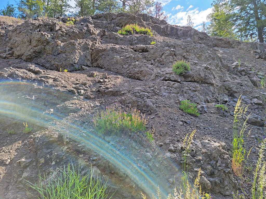 Photo: AndreyZharkikh, CC BY 2.0 (via Flickr)
Mother Lode Mine Trail #808A
~28 min drive
2.36-mile out-and-back trail in Oregon with 827 ft elevation gain and loss.
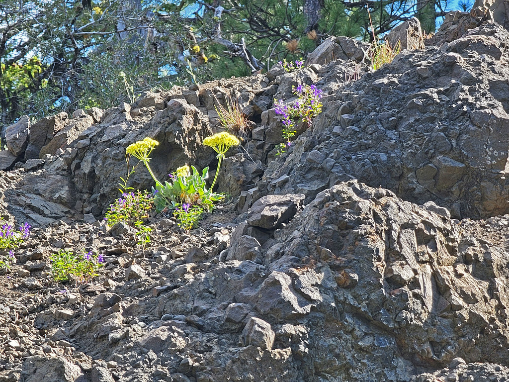 Photo: AndreyZharkikh, CC BY 2.0 (via Flickr)
Independent Mine
~28 min drive
Historic 14.55-mile out-and-back mining trail in Oregon.
HIKE
Green Mountain Trail
~4 min drive
15.36-mile out-and-back trail in Oregon with 2,930 ft elevation gain and loss.
HIKE
Giddy-Up-Go Tie
Next door
3.00-mile out-and-back trail in Oregon with 734 ft elevation gain.
Photo: AndreyZharkikh, CC BY 2.0 (via Flickr)Baneberry Trail
~28 min drive
Baneberry Trail is a 0.32-mile point-to-point trail in Oregon.
HIKE
Twin Pillars
~11 min drive
12.16-mile out-and-back trail in Oregon with 2,173 ft gain
HIKE
Wildcat Trail
~13 min drive
8.48-mile out-and-back trail in Oregon with 1,975 ft elevation gain.
HIKE
Scotty Creek Trail #838
~22 min drive
4.1-mile out-and-back trail in Oregon with 1,258 ft elevation gain and loss.
Photo: AndreyZharkikh, CC BY 2.0 (via Flickr)Lookout Mountain
~28 min drive
0.90-mile out-and-back trail on Lookout Mountain in Oregon with 12 ft gain.

