Baneberry Trail
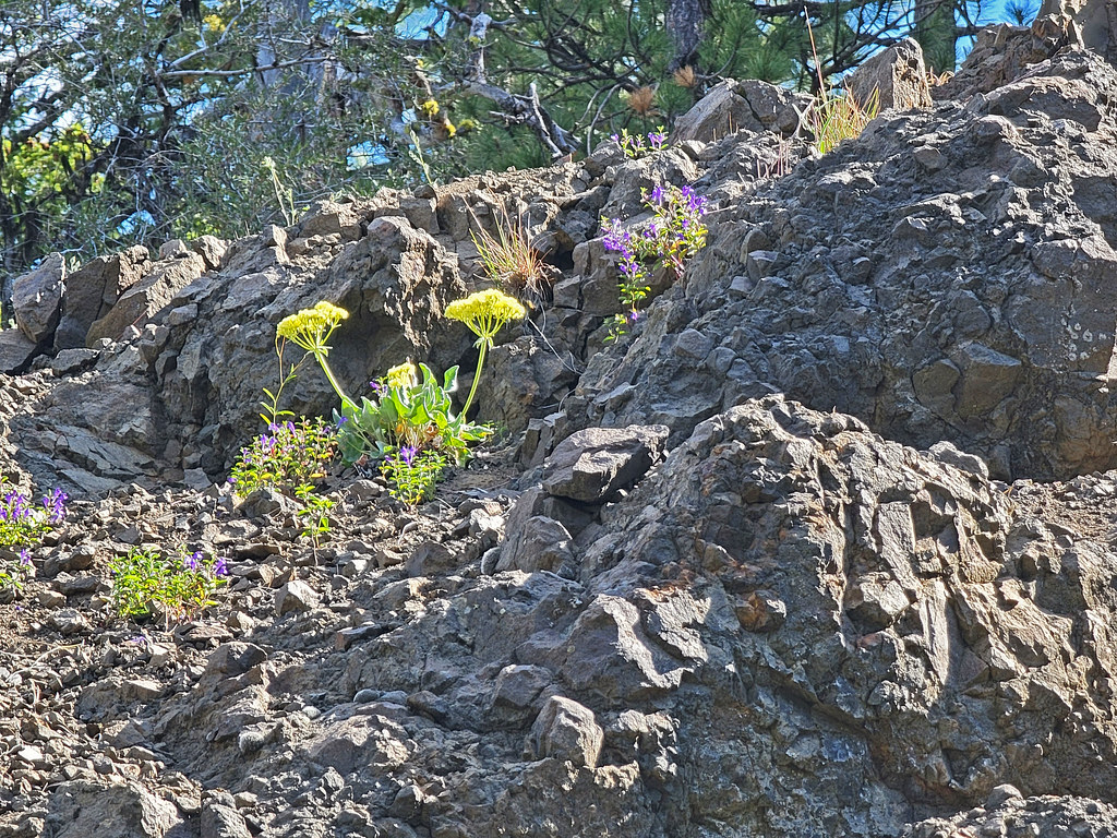 Photo: AndreyZharkikh, CC BY 2.0 (via Flickr)
- 0.3 mi
- one way
- 103 ft
- climb
- 5,791 ft
- high point
- Point to point
- route
Is Baneberry Trail open right now?
Closure in the area
There's a closure order in Ochoco National Forest. It doesn't name Baneberry Trail, so check the source for the area it covers.
Rowe Creek Complex Emergency Closure Order
Agency closure covering Ochoco National Forest · Order 06-07-26-04 · USFS · Ochoco National Forest
Blue-Green Algae Information
Agency alert covering Ochoco National Forest · USFS · Ochoco National Forest
Prescribed Fire information
Agency alert covering Ochoco National Forest · USFS · Ochoco National Forest
As of · Source: USFS · Ochoco National Forest. Agencies don't list every closure — check before you go.
Baneberry Trail is a short, easy hike in the Paulina Ranger District of Ochoco National Forest in Oregon, managed by the Forest Service. The trail is about 0.3 miles long, with a one-way elevation gain of 103 feet, and it runs from a low point of about 5,675 feet to a high of about 5,791 feet. The steepest part comes at about 0.19 miles in, with a grade of about 15 percent. The trail is a point-to-point route, so it works well as a short outing or as a link between other nearby hikes. Baneberry and Independent Mine both lie within about a quarter mile, and Lookout Mountain Trail is about 0.2 miles away. For an overnight stay, Ochoco Forest Camp is about 5 miles off.
Keep exploring — more trails worth the drive
Photo: AndreyZharkikh, CC BY 2.0 (via Flickr)Baneberry
Next door
1.58-mile out-and-back trail to Baneberry waterfall in Oregon.
Photo: AndreyZharkikh, CC BY 2.0 (via Flickr)Independent Mine
Next door
Historic 14.55-mile out-and-back mining trail in Oregon.
 Photo: U.S. Forest Service- Pacific Northwest Region, Public domain (via Wikimedia Commons)
Steins Pillar
~24 min drive
3.60-mile out-and-back trail in Oregon with 763 ft elevation gain
HIKE
Green Mountain Trail
~31 min drive
15.36-mile out-and-back trail in Oregon with 2,930 ft elevation gain and loss.
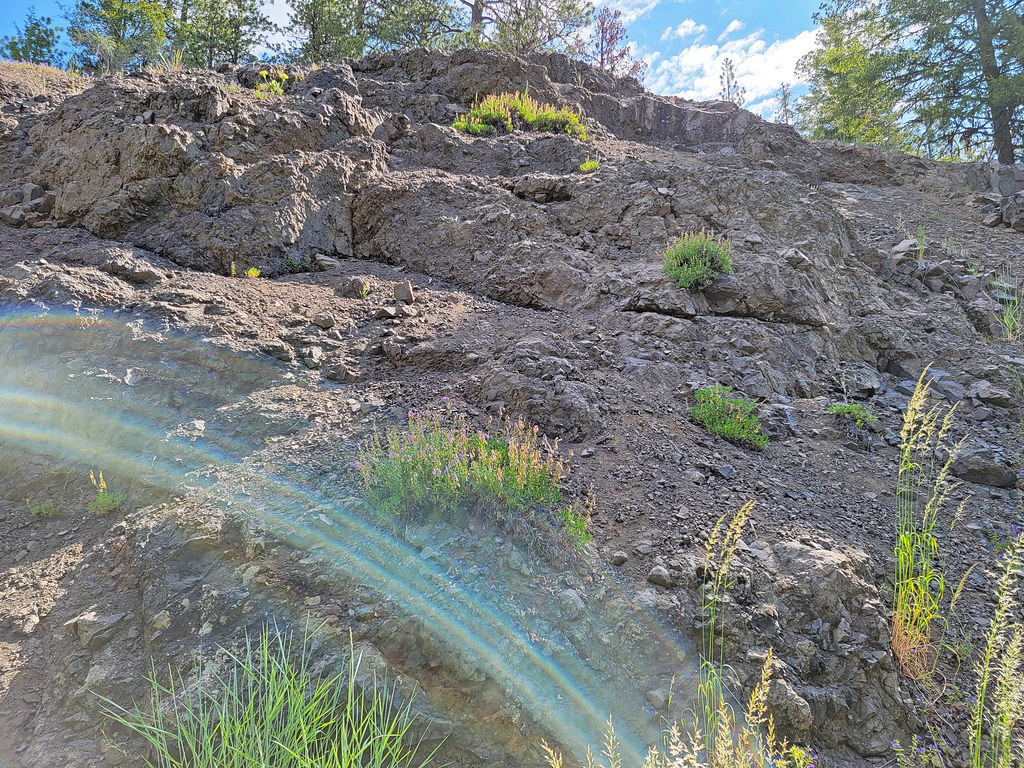 Photo: AndreyZharkikh, CC BY 2.0 (via Flickr)
Mother Lode Mine Trail #808A
Next door
2.36-mile out-and-back trail in Oregon with 827 ft elevation gain and loss.
Photo: U.S. Forest Service- Pacific Northwest Region, Public domain (via Wikimedia Commons)Giddy-Up-Go
~28 min drive
7.17-mile loop in Oregon with 1,711 ft elevation gain and loss.
HIKE
Line Butte Tie Trail #804A
~2 min drive
3.07-mile out-and-back trail in Oregon with 969 ft gain.
HIKE
Wildcat Trail
~18 min drive
8.48-mile out-and-back trail in Oregon with 1,975 ft elevation gain.
Photo: AndreyZharkikh, CC BY 2.0 (via Flickr)Lookout Mountain Trail
Next door
10.18-mile point-to-point trail in Oregon with 1,558 ft gain.
HIKE
Round Mountain
~10 min drive
18-mile out-and-back trail in Oregon with 2,120 ft elevation gain.

Map and trail data © OpenStreetMap contributors
