Eagle Creek Campground
Campground
Campground · 0.5 mi from the trail
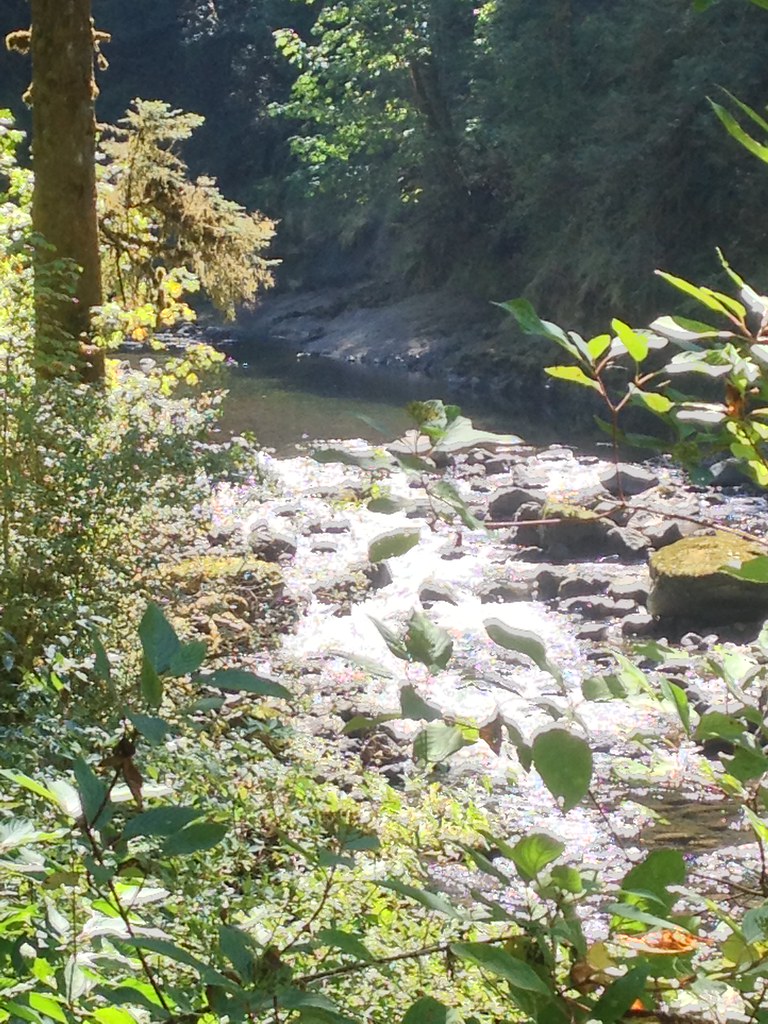 Photo: Fotos_Ohio, CC BY 2.0 (via Flickr)
Alert in the area
The Forest Service lists an alert for Columbia River Gorge National Scenic Area.
Eagle Creek Fire Area Closure - CRGNSA and Mt. Hood
Agency alert covering Columbia River Gorge National Scenic Area · Order 06-22-01-26-04 · USFS · Columbia River Gorge National Scenic Area
As of · Source: USFS · Columbia River Gorge National Scenic Area. Agencies don't list every closure — check before you go.
Ruckel Creek is a moderate hike in the Columbia River Gorge National Scenic Area in Oregon, managed by the Forest Service. The trail is an out-and-back route of about 10 miles, with a total climb of about 4,360 feet. The one-way gain is about 3,600 feet, and the trail starts at roughly 3,574 feet, reaching a high point of about 4,099 feet. The hike is a long, steep climb, so plan for a full day. The Ruckel Ridge Trail and Buck Point both lie within half a mile, and Eagle Creek Campground is about half a mile away, making it easy to pair this hike with an overnight stay.
Eagle Creek Campground
Campground
 If it rainsJmasterson, CC BY-SA 3.0 · Wikimedia Commons
Western Antique Aeroplane & Automobile Museum
Museum
Aviation and automobile museum in Oregon, United States
Places © OpenStreetMap contributors · Photos: Jmasterson, CC BY-SA 3.0 (commons)
More in Mount Hood VillagesNot on Roamze yet. Their page has how to reach them.
 Photo: U.S. Forest Service- Pacific Northwest Region, Public domain (via Wikimedia Commons)
Ruckel Ridge Trail
Next door
5.88-mile out-and-back hike in Oregon with 3,603 ft elevation gain and loss.
Photo: U.S. Forest Service- Pacific Northwest Region, Public domain (via Wikimedia Commons)Buck Point
Next door
1.05-mile out-and-back trail at Buck Point in Oregon with 422 ft of elevation gain.
 Photo: inkknife_2000 (7.5 million views +), CC BY-SA 2.0 (via Wikimedia Commons)
Pct - Washington Section H
~3 min drive
Pct - Washington Section H is a 144.23-mile point-to-point trail in Oregon.
Photo: inkknife_2000 (7.5 million views +), CC BY-SA 2.0 (via Wikimedia Commons)Gorge Trail
~3 min drive
9.14-mile point-to-point trail in Oregon with 3,084 ft gain.
 Photo: On^ste82, CC BY 3.0 (via Wikimedia Commons)
Tanner Butte
~3 min drive
6.88-mile out-and-back trail at Tanner Butte in Oregon with 2,634 ft elevation gain.
 Photo: whyamiKeenan from Columbus, OH, USA, CC BY-SA 2.0 (via Wikimedia Commons)
Wauna Viewpoint
~1 min drive
1.20-mile out-and-back trail at Wauna Viewpoint in Oregon with 942 ft gain.
 Photo: mjfmjfmjf, CC BY 2.0 (via Flickr)
WAHCLELLA FALLS
~4 min drive
1.78-mile out-and-back trail to Wahclella Falls in Oregon with 1,230 ft elevation gain.
 Photo: mjfmjfmjf, CC BY 2.0 (via Flickr)
Eagle Benson
~8 min drive
5.32-mile out-and-back trail in Oregon with 3,251 ft elevation gain
 Photo: mjfmjfmjf, CC BY 2.0 (via Flickr)
Wahclella Falls
~4 min drive
0.70-mile out-and-back trail to Wahclella Falls in Oregon with 216 ft gain.
 Photo: Ryan Snyder, CC BY 2.0 (via Wikimedia Commons)
Cedar Mountain Trail
~7 min drive
4.1-mile out-and-back trail in Washington with 2,263 ft elevation gain

