Eagle Creek Campground
Campground
Campground · 0.3 mi from the trail
 Photo: U.S. Forest Service- Pacific Northwest Region, Public domain (via Wikimedia Commons)
Caution at last check
Agency alerts are in effect for this area; weather is good · USFS, OpenWeather · checked 23 h ago
Closure in the area
There's a closure order in Columbia River Gorge National Scenic Area. It doesn't name Ruckel Ridge Trail, so check the source for the area it covers.
Eagle Creek Area and Trail Closure
Agency closure covering Columbia River Gorge National Scenic Area · Order 06-22-01-26-04 · USFS · Columbia River Gorge National Scenic Area
Eagle Creek Fire Area Closure - CRGNSA and Mt. Hood
Agency alert covering Columbia River Gorge National Scenic Area · Order 06-22-01-26-04 · USFS · Columbia River Gorge National Scenic Area
As of · Source: USFS · Columbia River Gorge National Scenic Area. Agencies don't list every closure — check before you go.
Ruckel Ridge Trail is a hard hike in Oregon's Columbia River Gorge National Scenic Area, managed by the Forest Service. The trail is an out-and-back of about 5.9 miles, with a total elevation gain of 3,603 feet. The route starts at about 761 feet and climbs to a high point of 3,754 feet, and the steepest stretch comes at about 2.5 miles in, where the grade reaches 54 percent. The climb is front-loaded, so the hardest part of the hike is early on. Plan for about four hours on the trail. The trailhead sits close to Eagle Creek Campground, which is about 0.3 miles away, and the Ruckel Creek and Buck Point hikes are also within a third of a mile. Nearby, the Bridge of the Gods Boulders climbing area is about 2.3 miles away, and the Portland & The Gorge climbing area is about 2.5 miles away. Eagle Creek, a canoeing spot, is about 4.3 miles off.
Eagle Creek Campground
Campground
 If it rainsJmasterson, CC BY-SA 3.0 · Wikimedia Commons
Western Antique Aeroplane & Automobile Museum
Museum
Aviation and automobile museum in Oregon, United States
Places © OpenStreetMap contributors · Photos: Jmasterson, CC BY-SA 3.0 (commons)
More in Mount Hood VillagesNot on Roamze yet. Their page has how to reach them.
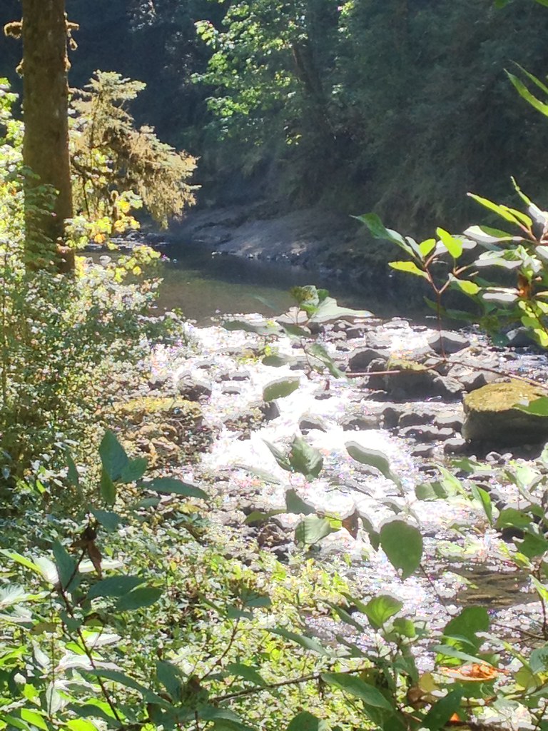 Ruckel CreekHikingPhoto: Fotos_Ohio, CC BY 2.0 (via Flickr)0.3 miBuck PointHikingPhoto: U.S. Forest Service- Pacific Northwest Region, Public domain (via Wikimedia Commons)0.3 mi
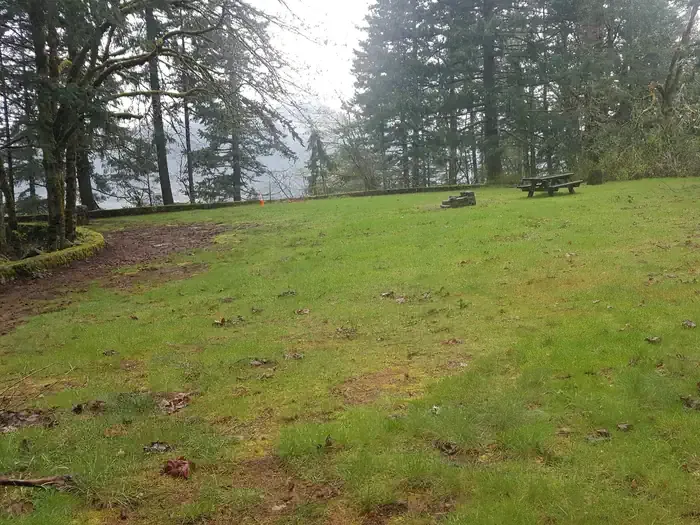 Eagle Creek Overlook Grp SiteCampingPhoto: Recreation.gov (RIDB) / public domain0.6 mi
 Eagle CreekCanoeingPhoto: Werewombat, CC BY-SA 3.0 (via Wikimedia Commons)4.3 mi
Source: Roamze catalog (indexable pages within 10 miles, PostGIS distance)
Buck PointHiking · Next doorPhoto: U.S. Forest Service- Pacific Northwest Region, Public domain (via Wikimedia Commons) Pct - Washington Section HHiking · ~3 min drivePhoto: inkknife_2000 (7.5 million views +), CC BY-SA 2.0 (via Wikimedia Commons)Gorge TrailHiking · ~3 min drivePhoto: inkknife_2000 (7.5 million views +), CC BY-SA 2.0 (via Wikimedia Commons)
 Eagle BensonHiking · ~7 min drivePhoto: mjfmjfmjf, CC BY 2.0 (via Flickr)
 Strawberry LoopHiking · ~5 min drivePhoto: Mike Fisher, CC BY 2.0 (via Wikimedia Commons)Ruckel CreekHiking · Next doorPhoto: Fotos_Ohio, CC BY 2.0 (via Flickr)
 WAHCLELLA FALLSHiking · ~3 min drivePhoto: mjfmjfmjf, CC BY 2.0 (via Flickr)
 Hamilton Mountain TrailHiking · ~8 min drivePhoto: Robert Ashworth from Bellingham, WA., USA, CC BY 2.0 (via Wikimedia Commons)
 Benson Spur Trail #405CHiking · ~5 min drivePhoto: bzo, CC BY-SA 2.0 (via Flickr)
 Upper McCord Creek Falls TrailHiking · ~7 min drivePhoto: Ian Sane, CC BY 2.0 (via Flickr)
Map and trail data © OpenStreetMap contributors

