Bridge of the Gods Motel, RV Park and Cabins
Campground
Campground · 0.2 mi from the trail
 Photo: inkknife_2000 (7.5 million views +), CC BY-SA 2.0 (via Wikimedia Commons)
Alert in the area
The Forest Service lists an alert for Columbia River Gorge National Scenic Area.
Eagle Creek Fire Area Closure - CRGNSA and Mt. Hood
Agency alert covering Columbia River Gorge National Scenic Area · Order 06-22-01-26-04 · USFS · Columbia River Gorge National Scenic Area
As of · Source: USFS · Columbia River Gorge National Scenic Area. Agencies don't list every closure — check before you go.
Pct - Washington Section H is a long, steep hike in Oregon's Columbia River Gorge National Scenic Area, managed by the Forest Service. The route is a point-to-point trail of about 144 miles, with a total elevation gain of roughly 25,400 feet. It rises from a low point of about 80 feet to a high of 7,208 feet, and it is rated expert, so it is a serious commitment for anyone who takes it on. The trail is open to horses, and bikes are not allowed. That makes it a natural fit for riders on horseback, and the route's length and climb mean planning for several days is essential. The trip is estimated to take about 61 hours, so it works best as a multi-day journey. Eagle Creek Campground, about 1.9 miles away, and Eagle Creek Overlook Grp Site, about 2.1 miles away, are both camping options close to the trail. The Gorge Trail, about 0.2 miles away, and the Ruckel Creek hike, about 1.5 miles away, are other nearby places to explore.
Bridge of the Gods Motel, RV Park and Cabins
Campground
 If it rainsJmasterson, CC BY-SA 3.0 · Wikimedia Commons
Western Antique Aeroplane & Automobile Museum
Museum
Aviation and automobile museum in Oregon, United States
Places © OpenStreetMap contributors · Photos: Jmasterson, CC BY-SA 3.0 (commons)
More in Mount Hood VillagesNot on Roamze yet. Their page has how to reach them.
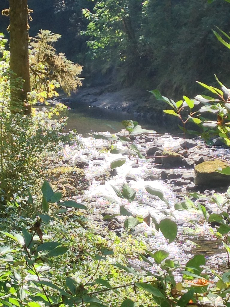 Photo: Fotos_Ohio, CC BY 2.0 (via Flickr)
Ruckel Creek
~3 min drive
4.95-mile out-and-back trail in Oregon with 4,348 ft elevation gain.
 Photo: U.S. Forest Service- Pacific Northwest Region, Public domain (via Wikimedia Commons)
Ruckel Ridge Trail
~3 min drive
5.88-mile out-and-back hike in Oregon with 3,603 ft elevation gain and loss.
Photo: U.S. Forest Service- Pacific Northwest Region, Public domain (via Wikimedia Commons)Buck Point
~3 min drive
1.05-mile out-and-back trail at Buck Point in Oregon with 422 ft of elevation gain.
 Photo: Forest Service Pacific Northwest Region, Public Domain Mark (via Flickr)
Peregrination
~6 min drive
3.72-mile out-and-back trail in Oregon with 518 ft gain
 Photo: On^ste82, CC BY 3.0 (via Wikimedia Commons)
Tanner Butte
~5 min drive
6.88-mile out-and-back trail at Tanner Butte in Oregon with 2,634 ft elevation gain.
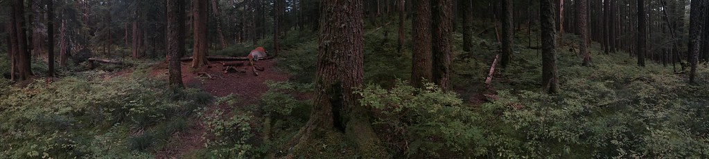 Photo: Ryan Forsythe, CC BY-SA 2.0 (via Flickr)
Benson Ruckel
~5 min drive
Benson Ruckel is a 1.56-mile out-and-back trail in Oregon with 117 ft gain.
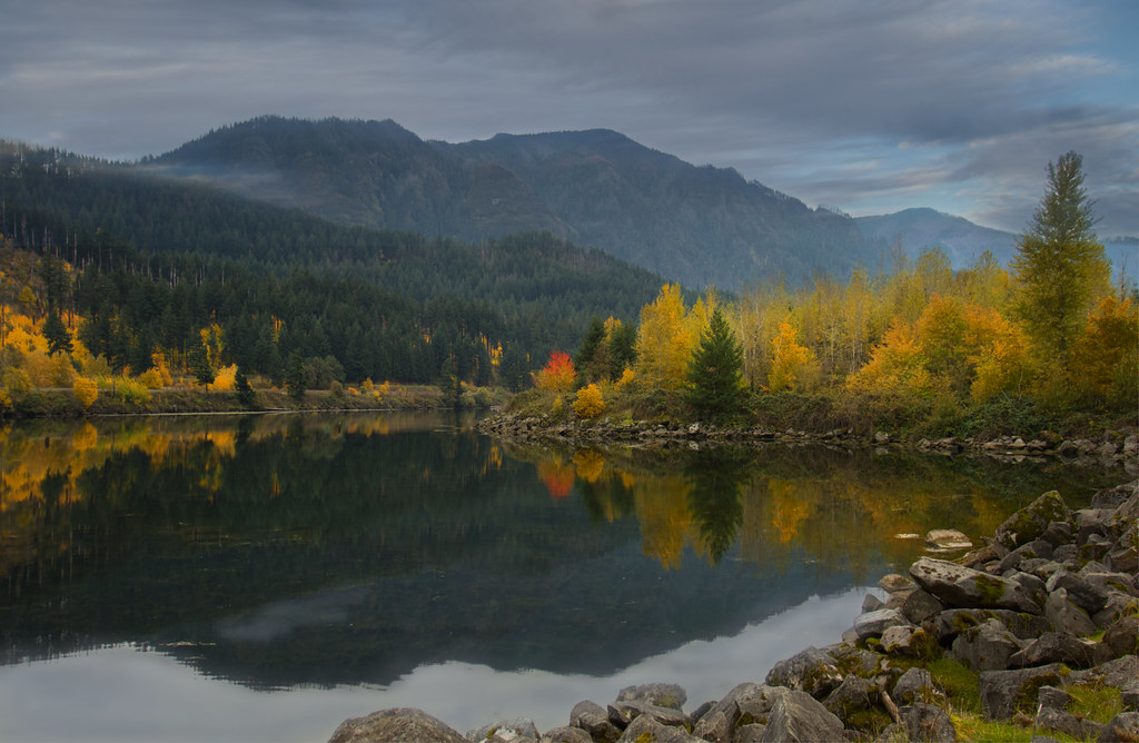 Photo: Bonnie Moreland (free images), Public Domain Mark (via Flickr)
Talus Ridge
~6 min drive
1.90-mile out-and-back trail in Oregon with 847 ft elevation gain
Photo: Forest Service Pacific Northwest Region, Public Domain Mark (via Flickr)Gorton Creek
~6 min drive
8.90-mile out-and-back trail in Oregon with 4,207 ft elevation gain.
 Photo: bzo, CC BY-SA 2.0 (via Flickr)
Benson Spur Trail #405C
~5 min drive
0.9-mile out-and-back trail in Oregon with 77 ft elevation gain.
 Photo: mjfmjfmjf, CC BY 2.0 (via Flickr)
WAHCLELLA FALLS
~6 min drive
1.78-mile out-and-back trail to Wahclella Falls in Oregon with 1,230 ft elevation gain.
Map and trail data © OpenStreetMap contributors
