Blue Grouse Campsite
Campground
Campground · 0.2 mi from the trail
 Photo: mjfmjfmjf, CC BY 2.0 (via Flickr)
Eagle Benson is a hard hike in Oregon's Mark O. Hatfield Wilderness, within the Hood River Ranger District of Mt. Hood National Forest. The trail is an out-and-back of about 5.3 miles, with a total elevation gain of 3,337 feet and a high point of 3,799 feet. The climb is front-loaded, and the steepest stretch comes at about 0.94 miles in, with a grade of 43 percent. Summer is the most comfortable time to go. Typical averages from a nearby weather station at Government Camp show July and August highs around 70°F with only about four wet days a month, while winter months bring highs in the mid-30s and rain on 20 or more days. The trip takes about 3.5 hours. Eagle Creek and Indian Springs are both within about a mile and a half, and Wahtum Lake Campground and Ottertail Lake are about 3.5 to 4 miles away.
Blue Grouse Campsite
Campground
 If it rainsJmasterson, CC BY-SA 3.0 · Wikimedia Commons
Western Antique Aeroplane & Automobile Museum
Museum
Aviation and automobile museum in Oregon, United States
Places © OpenStreetMap contributors · Photos: Jmasterson, CC BY-SA 3.0 (commons)
More in Mount Hood VillagesNot on Roamze yet. Their page has how to reach them.
Best months: June–September. Best months have typical highs of 55–85 °F, lows of 30 °F or warmer (32 °F where the station doesn't record snow), at most one snowy day and no more than 12 wet days.
Jan
37° / 26°
20 wet
Feb
38° / 26°
17 wet
Mar
41° / 28°
20 wet
Apr
45° / 31°
18 wet
May
54° / 36°
15 wet
Jun
59° / 41°
10 wet
Jul
69° / 48°
4 wet
Aug
70° / 48°
4 wet
Sep
64° / 45°
8 wet
Oct
53° / 37°
13 wet
Nov
42° / 30°
18 wet
Dec
35° / 26°
21 wet
Typical high / low (°F) and days with rain or snow, 1991–2020. Measured at Government Camp, OR, 20.9 mi away at 3,980 ft. This station doesn't record snowfall. Source: NOAA NCEI U.S. Climate Normals 1991–2020.
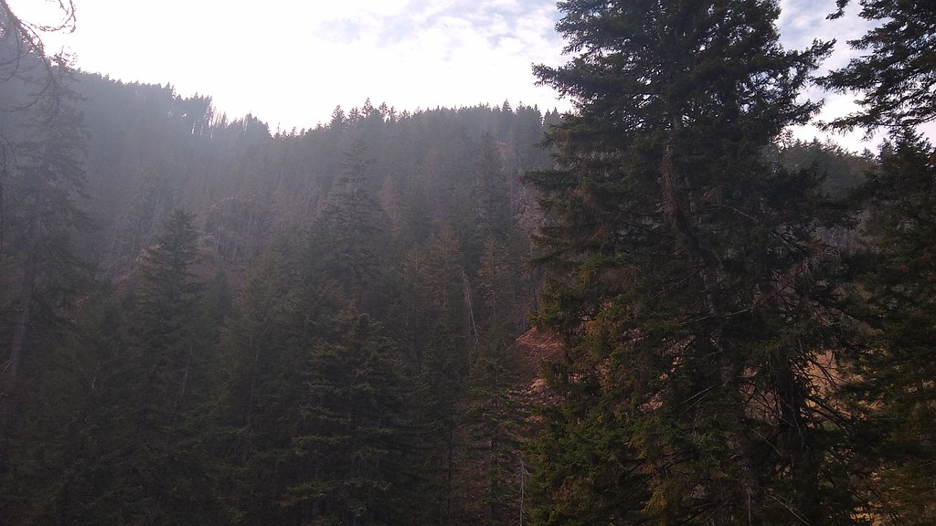 Photo: mjfmjfmjf, CC BY 2.0 (via Flickr)
Eagle Creek
~1 min drive
Easy 2-mile out-and-back creek walk in Oregon's Eagle Creek area.
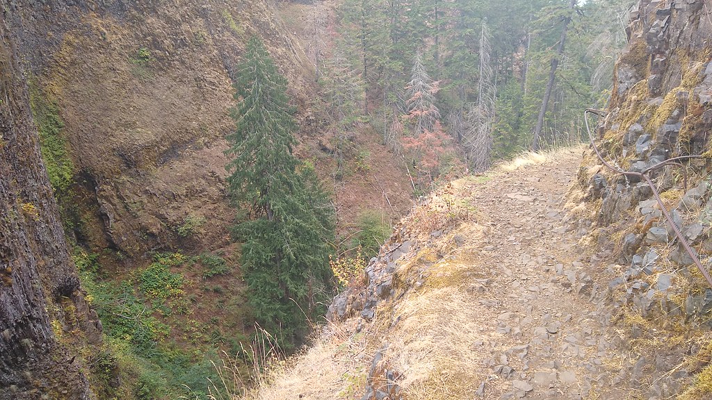 Photo: mjfmjfmjf, CC BY 2.0 (via Flickr)
Indian Springs
~2 min drive
4.00-mile out-and-back trail in Oregon with 2,116 ft elevation gain.
 Photo: On^ste82, CC BY 3.0 (via Wikimedia Commons)
Tanner Butte
~6 min drive
6.88-mile out-and-back trail at Tanner Butte in Oregon with 2,634 ft elevation gain.
 Photo: inkknife_2000 (7.5 million views +), CC BY-SA 2.0 (via Wikimedia Commons)
Pct - Washington Section H
~9 min drive
Pct - Washington Section H is a 144.23-mile point-to-point trail in Oregon.
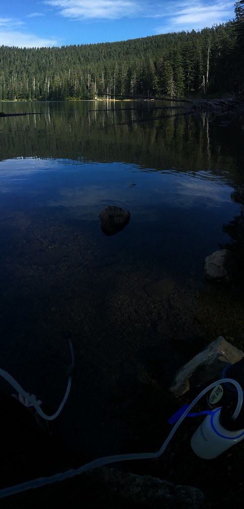 Photo: Ryan Forsythe, CC BY-SA 2.0 (via Flickr)
Chindere Mountain Trail #445
~4 min drive
0.72-mile out-and-back trail with 587 ft elevation gain in Oregon.
Photo: Ryan Forsythe, CC BY-SA 2.0 (via Flickr)Eagle Creek Trail
~5 min drive
12.98-mile point-to-point trail in Oregon with 4,352 ft elevation loss.
 Photo: U.S. Forest Service- Pacific Northwest Region, Public domain (via Wikimedia Commons)
Ruckel Ridge Trail
~7 min drive
5.88-mile out-and-back hike in Oregon with 3,603 ft elevation gain and loss.
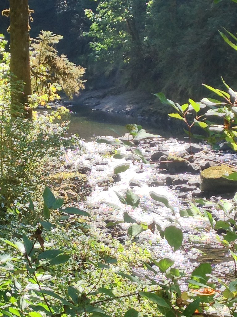 Photo: Fotos_Ohio, CC BY 2.0 (via Flickr)
Ruckel Creek
~8 min drive
4.95-mile out-and-back trail in Oregon with 4,348 ft elevation gain.
 Photo: bzo, CC BY-SA 2.0 (via Flickr)
Benson Spur Trail #405C
~5 min drive
0.9-mile out-and-back trail in Oregon with 77 ft elevation gain.
 Photo: mjfmjfmjf, CC BY 2.0 (via Flickr)
WAHCLELLA FALLS
~9 min drive
1.78-mile out-and-back trail to Wahclella Falls in Oregon with 1,230 ft elevation gain.

