Row River Trail - Aggregate
- 0.9 mi
- round trip
- 226 ft
- climb
- 1,000 ft
- high point
- Out and back
- route
Caution at last check
Weather is marginal · OpenWeather · checked 15 h ago
The Row River Trail - Aggregate is a short, easy out-and-back hike on Bureau of Land Management land in Oregon's Nw Oregon Upper Willamette Field Office. The trail is about 1.7 miles long, with a low point of 965 feet and a high of 1000 feet, and the climb is gentle, with a total elevation gain of 43 feet. The steepest stretch comes at about 0.63 miles in, where the grade reaches 11 percent. Summer is the most comfortable time to go. Typical averages from the nearby Dorena weather station show July and August highs around 81 to 82°F with only two to three wet days a month, while winter months bring highs in the upper 40s and rain on most days. The Culp Creek Trailhead is the trailhead for this route. Sharps Creek Recreation Site, about 3.4 miles away, offers camping, and Teeter Creek, about 3.9 miles away, is a canoeing spot. Swordfern and Rujada Campground are both about 5 miles away.
- Sharps Creek Recreation SiteCamping3.4 mi
- Teeter CreekCanoeing3.9 mi
- SwordfernHiking5.3 mi
- Rujada Day Use Picnic AreaCamping5.3 mi
- Rujada CampgroundCamping5.4 mi
- Smith CreekCanoeing5.6 mi
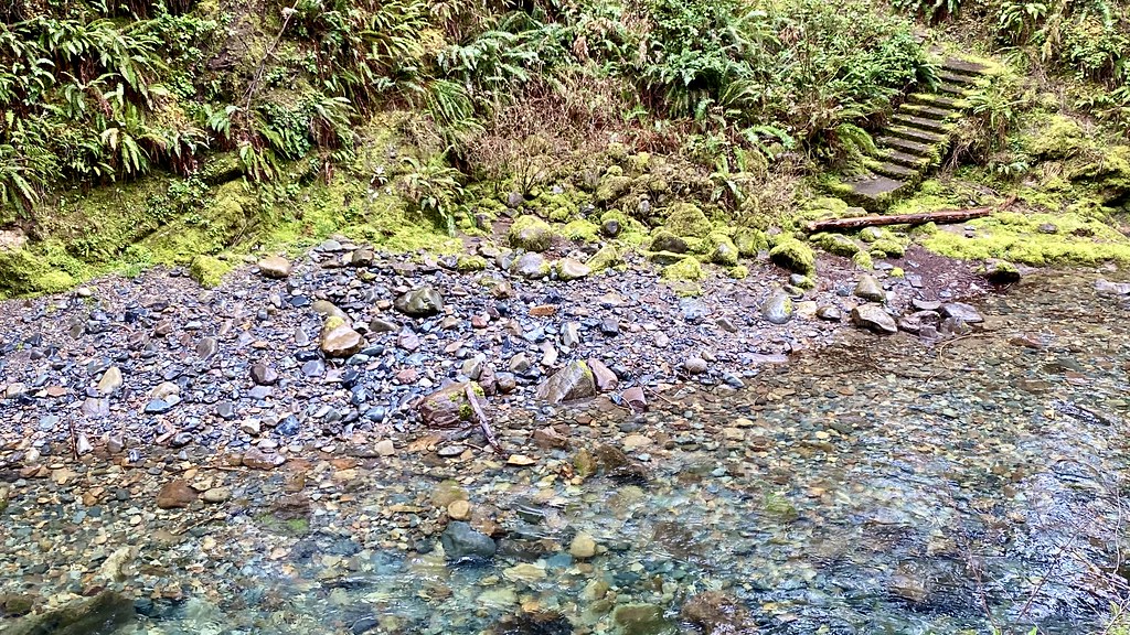 Brice CreekHikingPhoto: lamblukas, CC BY 2.0 (via Flickr)6.3 mi
- Sharps CreekCanoeing6.4 mi
Source: Roamze catalog (indexable pages within 10 miles, PostGIS distance)
- Brice CreekHiking · ~11 min drivePhoto: lamblukas, CC BY 2.0 (via Flickr)
- Brice Creek Trail #1403Hiking · ~13 min drivePhoto: lamblukas, CC BY 2.0 (via Flickr)
 CrawfishHiking · ~14 min drivePhoto: Alex Abair, CC BY 4.0 (via Wikimedia Commons)
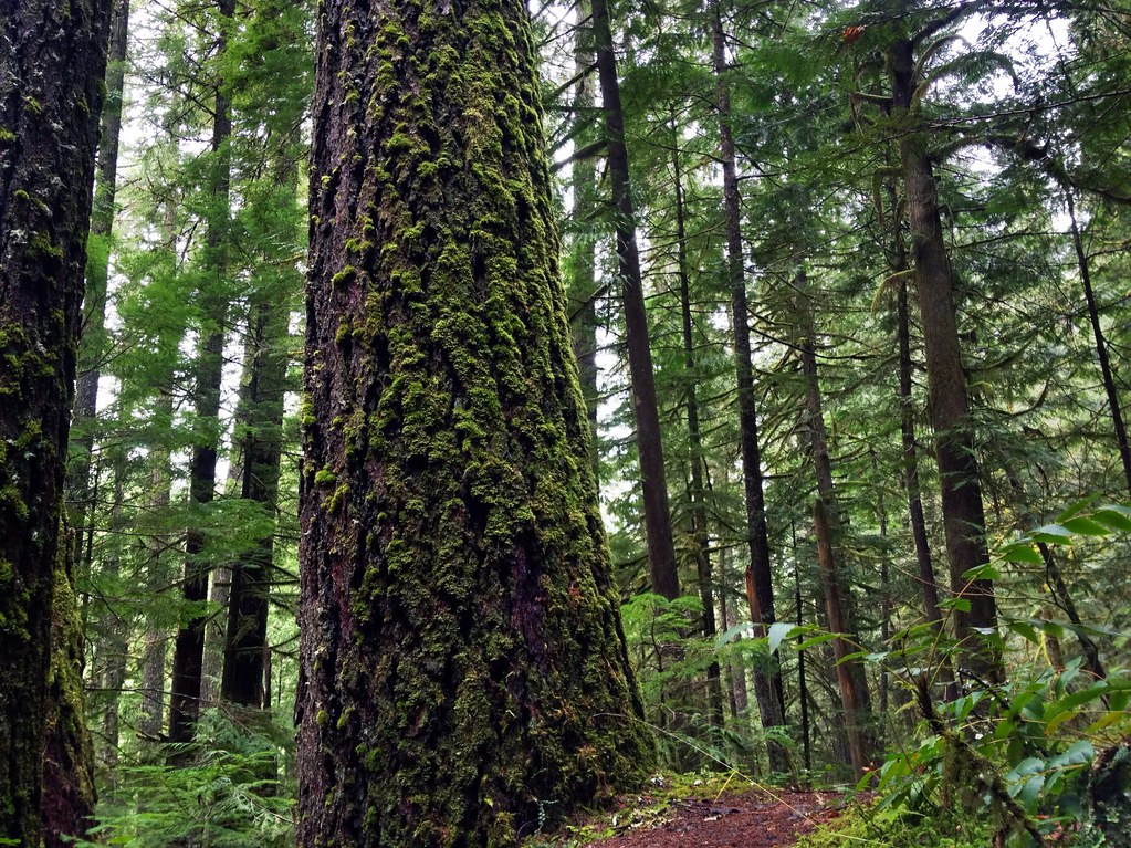 Marten FlumeHiking · ~16 min drivePhoto: James Wellington, CC BY 2.0 (via Flickr)
 Upper Trestle CreekHiking · ~18 min drivePhoto: (c) Ed Alverson, some rights reserved (CC BY), CC BY 4.0 (via Wikimedia Commons)
- Noonday Wagon TrailHiking · ~22 min drive
- Adams Mountain WayHiking · ~16 min drivePhoto: Alex Abair, CC BY 4.0 (via Wikimedia Commons)
- SwordfernHiking · ~9 min drive
- Hardesty WayHiking · ~16 min drive
- Lawler Trail #3473Hiking · ~24 min drive

