Hardesty Way
- 4.1 mi
- round trip
- 1,284 ft
- climb
- 4,262 ft
- high point
- Out and back
- route
Is Hardesty Way open right now?
Alert in the area
The Forest Service lists 4 alerts for Umpqua National Forest.
Fall Prescribed Burning
Agency alert covering Umpqua National Forest · USFS · Umpqua National Forest
Poole Creek Campground Closed for the 2026 Season
Agency alert covering Umpqua National Forest · USFS · Umpqua National Forest
National Forest Service Road 28 Roadwork
Agency alert covering Umpqua National Forest · USFS · Umpqua National Forest
Blue-Green Algae Precaution for Diamond and Lemolo Lakes
Agency alert covering Umpqua National Forest · USFS · Umpqua National Forest
As of · Source: USFS · Umpqua National Forest. Agencies don't list every closure — check before you go.
Hardesty Way is a 4.1-mile out-and-back hike in the Cottage Grove Ranger District of Oregon's Umpqua National Forest. The trail is rated moderate, with a one-way climb of 925 feet, and it reaches a high point of 4,262 feet. The trip starts at the Hardesty Way Trailhead, and the Forest Service manages the land. The route is natural-surfaced and open year round. Bikes are allowed, so it works as a ride as well as a walk. The steepest stretch comes at about 1.5 miles in, where the grade reaches 28 percent, and the total round trip gain and loss are each about 1,284 feet. The trail is close to other outings. Junetta Creek, a canoeing spot, is 1.5 miles away, and the Sawtooth and Eula Ridge hikes are both within about 2 miles. For an overnight stay, Black Canyon Campground is roughly 4.8 miles off.
Local outfitters
- Casey's Riverside RV Resort8 mi away
- Shelter Cove Resort & Marina35 mi away
Not on Roamze yet. Their page has how to reach them.
Keep exploring — more trails worth the drive
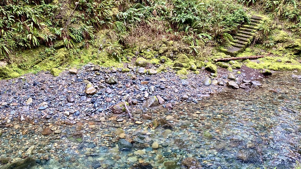 Photo: lamblukas, CC BY 2.0 (via Flickr)
Brice Creek
~12 min drive
3.00-mile out-and-back trail in Oregon with 1,112 ft elevation gain.
Photo: lamblukas, CC BY 2.0 (via Flickr)Brice Creek Trail #1403
~12 min drive
7.34-mile out-and-back trail in Oregon with 4,612 ft elevation gain/loss.
 Photo: Alex Abair, CC BY 4.0 (via Wikimedia Commons)
BRICE CREEK
~13 min drive
7.26-mile out-and-back trail in Oregon with 3,531 ft elevation gain/loss.
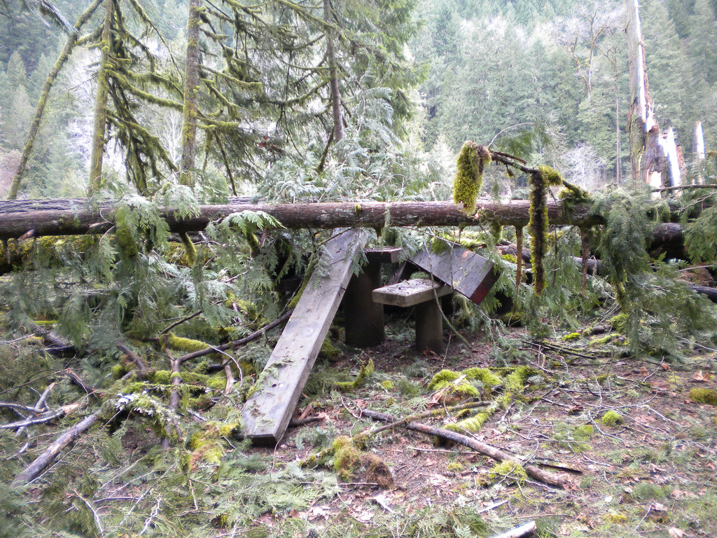 Photo: Forest Service Pacific Northwest Region, Public Domain Mark (via Flickr)
Wren Loop
~13 min drive
1.60-mile out-and-back trail in Oregon with 185 ft gain.
Photo: Forest Service Pacific Northwest Region, Public Domain Mark (via Flickr)Lower Middle Fork
~14 min drive
3.32-mile out-and-back trail on the Middle Fork in Oregon.
HIKE
Lawler Trail #3473
~8 min drive
13.58-mile out-and-back trail in Oregon with 4,887 ft elevation gain and loss.
Photo: Forest Service Pacific Northwest Region, Public Domain Mark (via Flickr)Deception Butte
~13 min drive
9.76-mile out-and-back trail in Oregon with 3,764 ft elevation gain
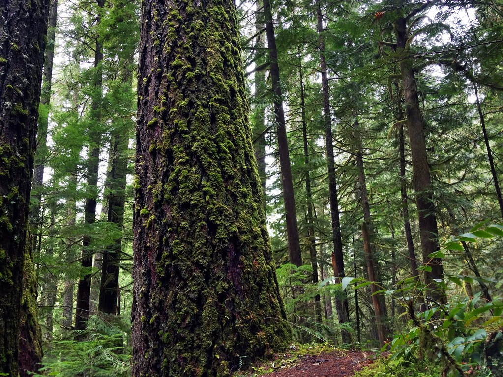 Photo: James Wellington, CC BY 2.0 (via Flickr)
Marten Flume
~14 min drive
0.94-mile out-and-back trail in Oregon with 184 ft of elevation gain.
 Photo: (c) Ed Alverson, some rights reserved (CC BY), CC BY 4.0 (via Wikimedia Commons)
Upper Trestle Creek
~16 min drive
4.34-mile out-and-back trail in Oregon with 1,928 ft elevation gain.
HIKE
Alpine Trail
~14 min drive
16.29-mile out-and-back hike in Oregon with 4,853 ft of elevation gain.
