Adams Mountain Way
 Photo: Alex Abair, CC BY 4.0 (via Wikimedia Commons)
- 6.8 mi
- round trip
- 2,831 ft
- climb
- 4,177 ft
- high point
- Out and back
- route
- Jun–Oct
- best months
Is Adams Mountain Way open right now?
Alert in the area
The Forest Service lists 4 alerts for Umpqua National Forest.
Fall Prescribed Burning
Agency alert covering Umpqua National Forest · USFS · Umpqua National Forest
Poole Creek Campground Closed for the 2026 Season
Agency alert covering Umpqua National Forest · USFS · Umpqua National Forest
National Forest Service Road 28 Roadwork
Agency alert covering Umpqua National Forest · USFS · Umpqua National Forest
Blue-Green Algae Precaution for Diamond and Lemolo Lakes
Agency alert covering Umpqua National Forest · USFS · Umpqua National Forest
As of · Source: USFS · Umpqua National Forest. Agencies don't list every closure — check before you go.
Adams Mountain Way is a 6.8-mile out-and-back hike in the Cottage Grove Ranger District of Oregon's Umpqua National Forest, managed by the Forest Service. The trail is rated hard, with a total elevation gain of 2,831 feet, and it reaches a high point of 4,177 feet. The route is natural-surface and allows horses and bikes. It is not an accessible trail. The steepest stretch comes early, at about 0.8 miles in, where the grade reaches 48 percent. Summer is the most comfortable time to go. Typical averages from a nearby weather station at a similar elevation show July and August highs around 79°F with only about four wet days a month, while winter brings frequent snow and highs in the upper 30s. Lund Park Forest Camp and the Marten Flume hike both sit about 0.1 mile away, and Hobo campground is about half a mile off. Brice Creek, a canoeing spot, is about 0.8 mile away.
Local outfitters
- Casey's Riverside RV Resort11 mi away
- Shelter Cove Resort & Marina32 mi away
Not on Roamze yet. Their page has how to reach them.
Best time to go · Jun–Oct
Best time to visit Adams Mountain Way
Best months: June–October. Best months have typical highs of 55–85 °F, lows of 30 °F or warmer (32 °F where the station doesn't record snow), at most one snowy day and no more than 12 wet days.
Jan
39° / 27°
17 wet · 10 snow
Feb
42° / 27°
15 wet · 9 snow
Mar
46° / 29°
17 wet · 9 snow
Apr
50° / 32°
17 wet · 5 snow
May
61° / 38°
14 wet · 1 snow
Jun
68° / 43°
9 wet
Jul
79° / 48°
4 wet
Aug
79° / 47°
4 wet
Sep
72° / 43°
6 wet
Oct
58° / 36°
12 wet · 1 snow
Nov
45° / 31°
16 wet · 6 snow
Dec
38° / 26°
18 wet · 11 snow
Typical high / low (°F) and days with rain or snow, 1991–2020. Measured at Lemolo Lake 3 Nnw, OR, 30.5 mi away at 4,077 ft. Source: NOAA NCEI U.S. Climate Normals 1991–2020.
Keep exploring — more trails worth the drive
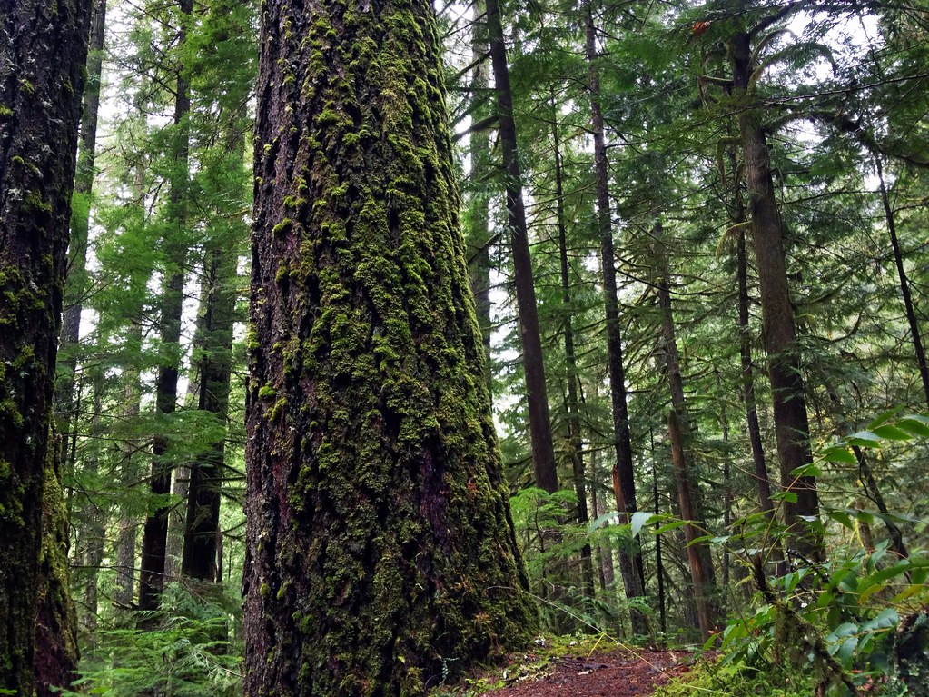 Photo: James Wellington, CC BY 2.0 (via Flickr)
Marten Flume
Next door
0.94-mile out-and-back trail in Oregon with 184 ft of elevation gain.
Photo: Alex Abair, CC BY 4.0 (via Wikimedia Commons)Crawfish
~2 min drive
8.80-mile out-and-back trail in Oregon with 3,443 ft elevation gain.
 Photo: (c) Ed Alverson, some rights reserved (CC BY), CC BY 4.0 (via Wikimedia Commons)
Upper Trestle Creek
~2 min drive
4.34-mile out-and-back trail in Oregon with 1,928 ft elevation gain.
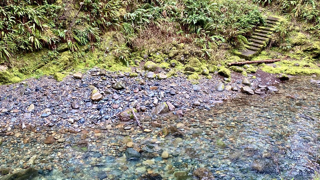 Photo: lamblukas, CC BY 2.0 (via Flickr)
Brice Creek Trail #1403
~3 min drive
7.34-mile out-and-back trail in Oregon with 4,612 ft elevation gain/loss.
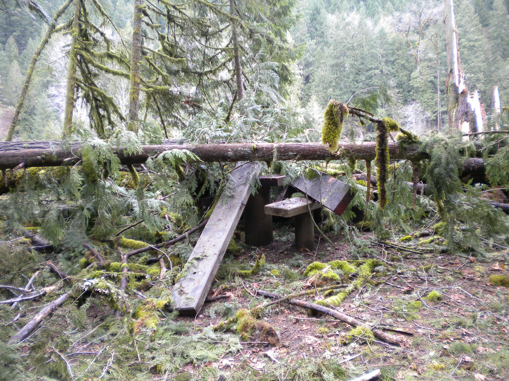 Photo: Forest Service Pacific Northwest Region, Public Domain Mark (via Flickr)
Wren Loop
~18 min drive
1.60-mile out-and-back trail in Oregon with 185 ft gain.
Photo: (c) Ed Alverson, some rights reserved (CC BY), CC BY 4.0 (via Wikimedia Commons)Trestle Creek Trail #1403C
~2 min drive
2.94-mile out-and-back trail in Oregon with 3,073 ft elevation gain
Photo: Forest Service Pacific Northwest Region, Public Domain Mark (via Flickr)Lower Middle Fork
~18 min drive
3.32-mile out-and-back trail on the Middle Fork in Oregon.
HIKE
Noonday Wagon Trail
~6 min drive
8.08-mile out-and-back trail in Oregon with 5,386 ft elevation gain/loss.
HIKE
Crawfish Lake
~3 min drive
0.20-mile out-and-back trail to Crawfish Lake in Oregon with 97 feet of elevation gain.
Photo: Alex Abair, CC BY 4.0 (via Wikimedia Commons)BRICE CREEK
~3 min drive
7.26-mile out-and-back trail in Oregon with 3,531 ft elevation gain/loss.

