Upper Trestle Creek
 Photo: (c) Ed Alverson, some rights reserved (CC BY), CC BY 4.0 (via Wikimedia Commons)
- 4.3 mi
- round trip
- 2,696 ft
- climb
- 2,760 ft
- high point
- Out and back
- route
- May–Oct
- best months
Is Upper Trestle Creek open right now?
Alert in the area
The Forest Service lists 4 alerts for Umpqua National Forest.
Fall Prescribed Burning
Agency alert covering Umpqua National Forest · USFS · Umpqua National Forest
Poole Creek Campground Closed for the 2026 Season
Agency alert covering Umpqua National Forest · USFS · Umpqua National Forest
National Forest Service Road 28 Roadwork
Agency alert covering Umpqua National Forest · USFS · Umpqua National Forest
Blue-Green Algae Precaution for Diamond and Lemolo Lakes
Agency alert covering Umpqua National Forest · USFS · Umpqua National Forest
As of · Source: USFS · Umpqua National Forest. Agencies don't list every closure — check before you go.
Upper Trestle Creek is a moderate out-and-back hike in the Cottage Grove Ranger District of Oregon's Umpqua National Forest. The route starts at about 2,000 feet and climbs to a high point of 2,760 feet, with a total elevation gain of 2,696 feet over roughly 4.3 miles. The trail is natural-surface and bikes are allowed, but it is not an accessible route. Summer is the most comfortable time to go. Typical averages from the nearby Oakridge Fish Hatchery weather station show July and August highs around 80 to 81°F with only two to three wet days a month, while winter brings highs in the low 40s and frequent rain. The hike sits close to several other destinations. Trestle Creek Trail #1403C starts just 0.1 mile away, and Hobo campground and Brice Creek, a canoeing spot, are both within a mile. Adams Mountain Way is about 1.1 miles off.
Local outfitters
- Casey's Riverside RV Resort10 mi away
- Shelter Cove Resort & Marina31 mi away
Not on Roamze yet. Their page has how to reach them.
Best time to go · May–Oct
Best time to visit Upper Trestle Creek
Best months: May–October. Best months have typical highs of 55–85 °F, lows of 30 °F or warmer (32 °F where the station doesn't record snow), at most one snowy day and no more than 12 wet days.
Jan
44° / 31°
16 wet · 1 snow
Feb
49° / 32°
14 wet · 1 snow
Mar
54° / 34°
16 wet · 1 snow
Apr
59° / 37°
15 wet
May
66° / 43°
11 wet
Jun
71° / 47°
7 wet
Jul
80° / 51°
3 wet
Aug
81° / 50°
2 wet
Sep
76° / 45°
5 wet
Oct
63° / 40°
10 wet
Nov
49° / 35°
15 wet
Dec
42° / 32°
17 wet · 1 snow
Typical high / low (°F) and days with rain or snow, 1991–2020. Measured at Oakridge Fish Hatchery, OR, 12.8 mi away at 1,275 ft. The station sits about 1,500 ft lower than this place, so expect it a little cooler here. Source: NOAA NCEI U.S. Climate Normals 1991–2020.
Keep exploring — more trails worth the drive
 Photo: Alex Abair, CC BY 4.0 (via Wikimedia Commons)
Adams Mountain Way
~2 min drive
6.80-mile out-and-back trail in Oregon with 2,739 ft elevation gain
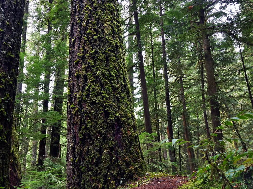 Photo: James Wellington, CC BY 2.0 (via Flickr)
Marten Flume
~2 min drive
0.94-mile out-and-back trail in Oregon with 184 ft of elevation gain.
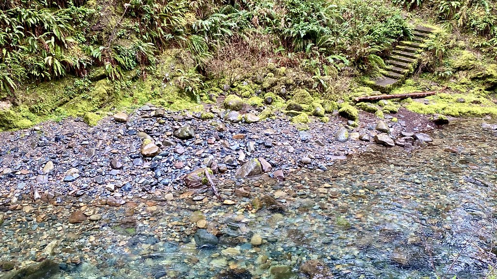 Photo: lamblukas, CC BY 2.0 (via Flickr)
Brice Creek Trail #1403
~5 min drive
7.34-mile out-and-back trail in Oregon with 4,612 ft elevation gain/loss.
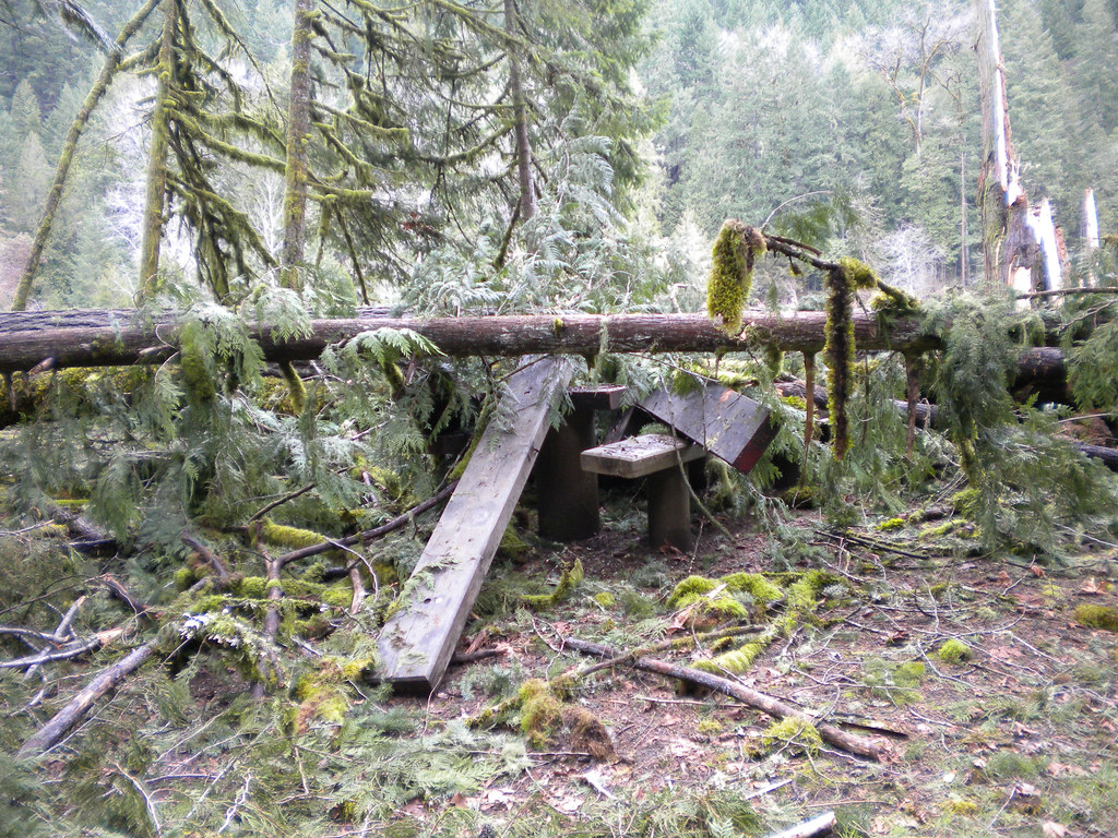 Photo: Forest Service Pacific Northwest Region, Public Domain Mark (via Flickr)
Lower Middle Fork
~17 min drive
3.32-mile out-and-back trail on the Middle Fork in Oregon.
Photo: Alex Abair, CC BY 4.0 (via Wikimedia Commons)Crawfish
~4 min drive
8.80-mile out-and-back trail in Oregon with 3,443 ft elevation gain.
Photo: Forest Service Pacific Northwest Region, Public Domain Mark (via Flickr)Wren Loop
~17 min drive
1.60-mile out-and-back trail in Oregon with 185 ft gain.
HIKE
Noonday Wagon Trail
~4 min drive
8.08-mile out-and-back trail in Oregon with 5,386 ft elevation gain/loss.
Photo: lamblukas, CC BY 2.0 (via Flickr)Brice Creek
~7 min drive
3.00-mile out-and-back trail in Oregon with 1,112 ft elevation gain.
Photo: Alex Abair, CC BY 4.0 (via Wikimedia Commons)BRICE CREEK
~5 min drive
7.26-mile out-and-back trail in Oregon with 3,531 ft elevation gain/loss.
HIKE
Crawfish Lake
~4 min drive
0.20-mile out-and-back trail to Crawfish Lake in Oregon with 97 feet of elevation gain.

