Crawfish
 Photo: Alex Abair, CC BY 4.0 (via Wikimedia Commons)
- 8.8 mi
- round trip
- 3,460 ft
- climb
- 4,705 ft
- high point
- Out and back
- route
Is Crawfish open right now?
Alert in the area
The Forest Service lists 4 alerts for Umpqua National Forest.
Fall Prescribed Burning
Agency alert covering Umpqua National Forest · USFS · Umpqua National Forest
Poole Creek Campground Closed for the 2026 Season
Agency alert covering Umpqua National Forest · USFS · Umpqua National Forest
National Forest Service Road 28 Roadwork
Agency alert covering Umpqua National Forest · USFS · Umpqua National Forest
Blue-Green Algae Precaution for Diamond and Lemolo Lakes
Agency alert covering Umpqua National Forest · USFS · Umpqua National Forest
As of · Source: USFS · Umpqua National Forest. Agencies don't list every closure — check before you go.
Crawfish is a hard hike in the Cottage Grove Ranger District of Oregon's Umpqua National Forest, managed by the Forest Service. The route is an out-and-back of about 8.8 miles, with a total climb of about 3,460 feet, and the Forest Service lists it as not accessible. The trail is a natural-surface route, and bikes are allowed. The steepest stretch comes around the 2.3-mile mark, with a grade of about 38%, and the climb is front-loaded, so the hardest part comes early. Brice Creek and the Brice Creek Trail #1403 both start within about a mile of the route. Cedar Creek Campground and Lund Park Forest Camp are also close by, at roughly a mile and a mile and a half, for places to camp.
Local outfitters
- Casey's Riverside RV Resort11 mi away
- Shelter Cove Resort & Marina33 mi away
Not on Roamze yet. Their page has how to reach them.
Keep exploring — more trails worth the drive
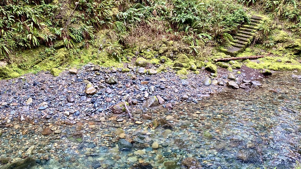 Photo: lamblukas, CC BY 2.0 (via Flickr)
Brice Creek Trail #1403
~2 min drive
7.34-mile out-and-back trail in Oregon with 4,612 ft elevation gain/loss.
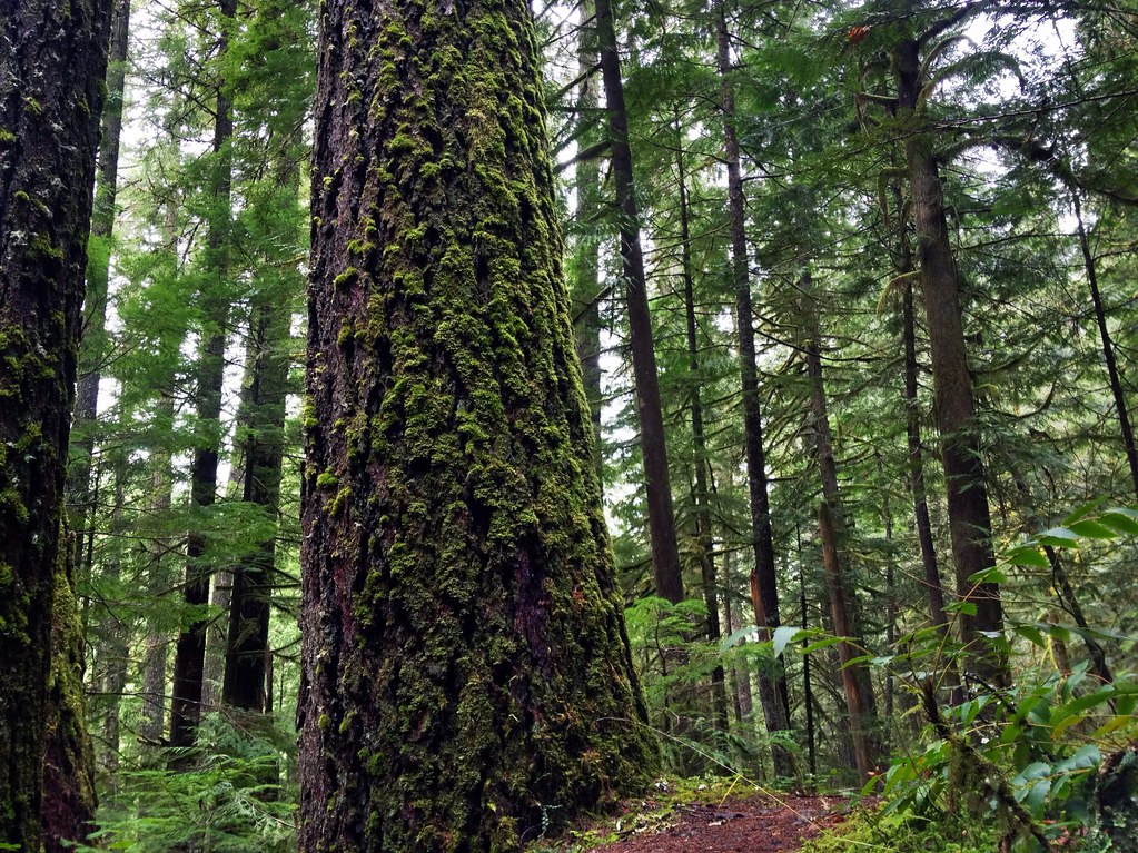 Photo: James Wellington, CC BY 2.0 (via Flickr)
Marten Flume
~2 min drive
0.94-mile out-and-back trail in Oregon with 184 ft of elevation gain.
Photo: Alex Abair, CC BY 4.0 (via Wikimedia Commons)Adams Mountain Way
~2 min drive
6.80-mile out-and-back trail in Oregon with 2,739 ft elevation gain
Photo: lamblukas, CC BY 2.0 (via Flickr)Brice Creek
~4 min drive
3.00-mile out-and-back trail in Oregon with 1,112 ft elevation gain.
HIKE
Alpine Trail
~19 min drive
16.29-mile out-and-back hike in Oregon with 4,853 ft of elevation gain.
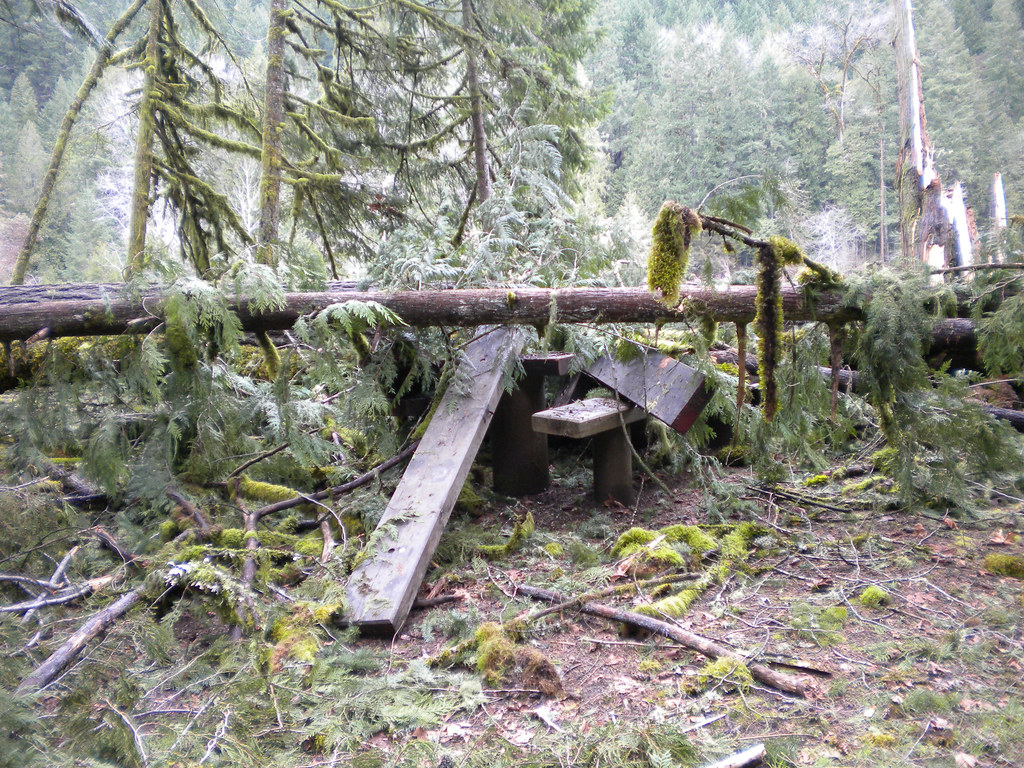 Photo: Forest Service Pacific Northwest Region, Public Domain Mark (via Flickr)
Wren Loop
~18 min drive
1.60-mile out-and-back trail in Oregon with 185 ft gain.
 Photo: (c) Ed Alverson, some rights reserved (CC BY), CC BY 4.0 (via Wikimedia Commons)
Trestle Creek Trail #1403C
~4 min drive
2.94-mile out-and-back trail in Oregon with 3,073 ft elevation gain
Photo: (c) Ed Alverson, some rights reserved (CC BY), CC BY 4.0 (via Wikimedia Commons)Upper Trestle Creek
~4 min drive
4.34-mile out-and-back trail in Oregon with 1,928 ft elevation gain.
HIKE
Lawler Trail #3473
~19 min drive
13.58-mile out-and-back trail in Oregon with 4,887 ft elevation gain and loss.
HIKE
Crawfish Lake
~4 min drive
0.20-mile out-and-back trail to Crawfish Lake in Oregon with 97 feet of elevation gain.

