Round Mountain
- 18.0 mi
- round trip
- 3,946 ft
- climb
- 6,659 ft
- high point
- Out and back
- route
Is Round Mountain open right now?
Closure in the area
There's a closure order in Ochoco National Forest. It doesn't name Round Mountain, so check the source for the area it covers.
Rowe Creek Complex Emergency Closure Order
Agency closure covering Ochoco National Forest · Order 06-07-26-04 · USFS · Ochoco National Forest
Blue-Green Algae Information
Agency alert covering Ochoco National Forest · USFS · Ochoco National Forest
Prescribed Fire information
Agency alert covering Ochoco National Forest · USFS · Ochoco National Forest
As of · Source: USFS · Ochoco National Forest. Agencies don't list every closure — check before you go.
Round Mountain is a hard hike in the Lookout Mountain Ranger District of Ochoco National Forest in Oregon, about 13 miles from the town of Mitchell. The trail is an out-and-back that runs about 18 miles round trip, with a total climb of roughly 3,946 feet. The route starts at about 5,350 feet and reaches a high point of about 6,660 feet, and the steepest stretch comes around mile 3.5, where the grade reaches about 41%. The trail is on natural surface, and it is open to both horses and bikes, according to the Forest Service's trail records. That makes it a versatile route for riders and pack animals as well as hikers. Walton Lake sits just 0.2 miles away, and the Corral Loop is about a mile off. For an overnight stay, Wildwood campground is about 4 miles away, and Ochoco Forest Camp is about 5 miles away.
Keep exploring — more trails worth the drive
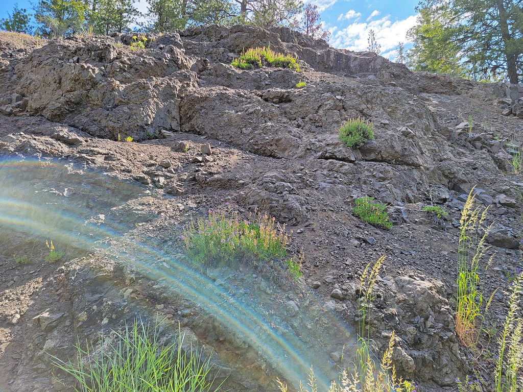 Photo: AndreyZharkikh, CC BY 2.0 (via Flickr)
Lookout Mountain
~10 min drive
0.90-mile out-and-back trail on Lookout Mountain in Oregon with 12 ft gain.
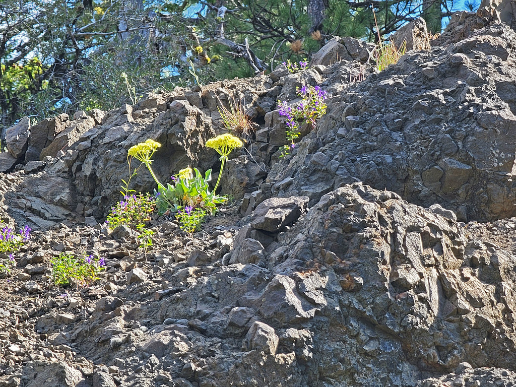 Photo: AndreyZharkikh, CC BY 2.0 (via Flickr)
Independent Mine
~11 min drive
Historic 14.55-mile out-and-back mining trail in Oregon.
 Photo: U.S. Forest Service- Pacific Northwest Region, Public domain (via Wikimedia Commons)
Steins Pillar
~25 min drive
3.60-mile out-and-back trail in Oregon with 763 ft elevation gain
HIKE
Wildcat Trail
~16 min drive
8.48-mile out-and-back trail in Oregon with 1,975 ft elevation gain.
Photo: AndreyZharkikh, CC BY 2.0 (via Flickr)Baneberry Trail
~10 min drive
Baneberry Trail is a 0.32-mile point-to-point trail in Oregon.
Photo: U.S. Forest Service- Pacific Northwest Region, Public domain (via Wikimedia Commons)Giddy-Up-Go
~28 min drive
7.17-mile loop in Oregon with 1,711 ft elevation gain and loss.
 Photo: lamblukas, CC BY 2.0 (via Flickr)
Carroll Rim
~27 min drive
Carroll Rim is a 0.80-mile out-and-back trail in Oregon with 232 ft of elevation gain.
Photo: AndreyZharkikh, CC BY 2.0 (via Flickr)Baneberry
~10 min drive
1.58-mile out-and-back trail to Baneberry waterfall in Oregon.
HIKE
COUGAR CREEK
~11 min drive
12.06-mile out-and-back trail in Oregon with 3,295 ft elevation gain.
HIKE
CORRAL LOOP
~2 min drive
8.18-mile out-and-back trail in Oregon with 1,565 ft elevation gain

Route details
- Distance
- 18.0 mi round trip
- Climbing
- About 3,946 ft
- Starts at
- Round Mountain South Trailhead (about 5,346 ft)
- Summit
- 6,751 ft
- Difficulty
- Hard
- Time
- About 7 hours
Season
Season: Year-round.
Questions about this route
How long is the Round Mountain on Round Mountain?
About 18.0 mi round trip from Round Mountain South Trailhead (about 5,346 ft).
How much elevation gain is on the Round Mountain?
About 3,946 ft of climbing round trip.
How hard is the Round Mountain?
It is rated hard.
Where does the Round Mountain start?
Round Mountain South Trailhead (about 5,346 ft).
How long does the Round Mountain take?
About 7 hours round trip.
When is the best time for the Round Mountain?
Year-round.
Conditions and forecast on Round Mountain
Daily highs and lows, wind and the chance of precipitation at the summit and route start for the next 7 days, from the Open-Meteo model.
