Round Mountain
- 6,751 ft
- summit
- 1
- way up
Is Round Mountain open right now?
Closure in the area
There's a closure order in Ochoco National Forest. It doesn't name Round Mountain, so check the source for the area it covers.
Rowe Creek Complex Emergency Closure Order
Agency closure covering Ochoco National Forest · Order 06-07-26-04 · USFS · Ochoco National Forest
Blue-Green Algae Information
Agency alert covering Ochoco National Forest · USFS · Ochoco National Forest
Prescribed Fire information
Agency alert covering Ochoco National Forest · USFS · Ochoco National Forest
As of · Source: USFS · Ochoco National Forest. Agencies don't list every closure — check before you go.
Round Mountain is a summit in the Lookout Mountain Ranger District of Oregon's Ochoco National Forest, about 16 miles from the town of Mitchell. Several other spots lie within a few miles. Walton Lake is about 2.5 miles away, and Lookout Mountain and the Corral Loop are each about 3.3 miles off. For an overnight stay, Ochoco Forest Camp sits roughly 3.9 miles from the summit.
Conditions and forecast
Daily highs and lows, wind and the chance of precipitation at the summit and round mountain south trailhead for the next 7 days, from the Open-Meteo model.
- Summit elevation
- 6,751 ft
Elevation from USGS 3D Elevation Program terrain data (about 10 m resolution).
Map © Mapbox © OpenStreetMap contributors Questions about Round Mountain
How tall is Round Mountain?
6,751 ft (2,058 m).
How many routes go to the summit of Round Mountain?
One: Round Mountain.
Where do the routes up Round Mountain start?
Round Mountain starts at Round Mountain South Trailhead (about 5,346 ft).
When is the best time to climb Round Mountain?
Year-round.
- Cougar Rock5,708 ft · Oregon1 route8.5 mi away
 Painted Hills2,442 ft · Oregon1 route19 mi awayPhoto: Riad Lemhachheche, CC BY 2.5 (via Wikimedia Commons)
 Pilot Butte4,142 ft · Oregon1 route52 mi awayPhoto: Cacophony, CC BY-SA 3.0 (via Wikimedia Commons)
- Fields Peak7,364 ft · Oregon1 route54 mi away
- Bessie Butte4,771 ft · Oregon1 route55 mi away
- Fuzztail Butte5,739 ft · Oregon1 route56 mi away
- Walton LakeHiking2.5 mi
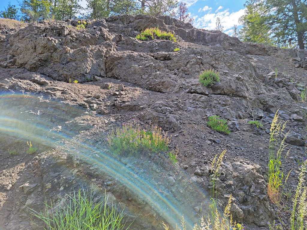 Lookout MountainHikingPhoto: AndreyZharkikh, CC BY 2.0 (via Flickr)3.3 mi
- CORRAL LOOPHiking3.3 mi
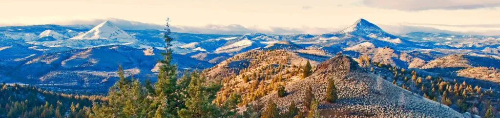 Ochoco Forest CampCampingPhoto: Recreation.gov (RIDB) / public domain3.9 mi
- Ochoco Ranger RentalCamping4 mi
- Johnson CreekCanoeing5.4 mi
- WildwoodCamping6.4 mi
- Elliot CreekCanoeing7 mi
Source: Roamze catalog (indexable pages within 10 miles, PostGIS distance)
- Painted HillsSummit · ~32 min drivePhoto: Riad Lemhachheche, CC BY 2.5 (via Wikimedia Commons)
 Cline ButtesSummit · ~1h 23m drivePhoto: Orygun, CC BY-SA 4.0 (via Wikimedia Commons)
- Grizzly MountainSummit · ~52 min drive
- Red HillSummit · ~1h 3m drive
- Smith RockSummit · ~1h 8m drive
- Cougar RockSummit · ~15 min drive
