Cougar Creek
- 6.0 mi
- round trip
- 3,295 ft
- climb
- 4,887 ft
- high point
- Out and back
- route
- Apr–Oct
- best months
Is COUGAR CREEK open right now?
Closure in the area
There's a closure order in Ochoco National Forest. It doesn't name COUGAR CREEK, so check the source for the area it covers.
Rowe Creek Complex Emergency Closure Order
Agency closure covering Ochoco National Forest · Order 06-07-26-04 · USFS · Ochoco National Forest
Blue-Green Algae Information
Agency alert covering Ochoco National Forest · USFS · Ochoco National Forest
Prescribed Fire information
Agency alert covering Ochoco National Forest · USFS · Ochoco National Forest
As of · Source: USFS · Ochoco National Forest. Agencies don't list every closure — check before you go.
Cougar Creek is a hard hike on the Lookout Mountain Ranger District of Oregon's Ochoco National Forest. The trail is an out-and-back that covers about 12 miles, with a total elevation gain of roughly 3,300 feet, and it starts at about 4,550 feet. The high point is around 4,887 feet, and the steepest stretch comes at about 2.3 miles in, where the grade reaches 35%. The most comfortable months for a visit are typically July and August, when typical averages from a nearby weather station in Mitchell run from the low 80s for highs to around 50 for lows, with the fewest wet days of the year. That station sits well below the trail, so temperatures up high run cooler. Winter is cold, with typical January highs around 43°F and lows near 26°F. The Cougar Creek Trail #835 lies just 0.1 mile away, and the Ochoco Way Trail is about 0.8 mile off. For an overnight stay, Ochoco Divide Group Site is roughly 1.2 miles away, and McGinnis Creek is about 1.4 miles away.
- Cougar Creek Trail #835Hiking0.1 mi
- Ochoco WayCross-country skiing0.3 mi
- Ochoco Way TrailHiking0.8 mi
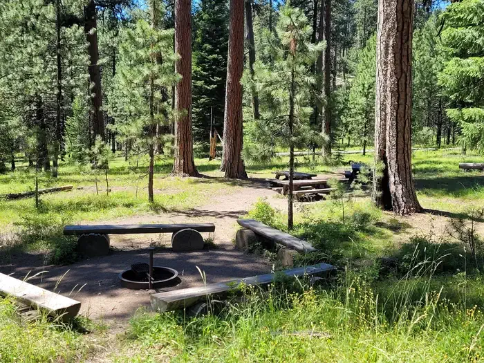 Ochoco Divide Group SiteCampingPhoto: Recreation.gov (RIDB) / public domain1.2 mi
- MCGINNIS CREEKHiking1.4 mi
- WildwoodCamping3.4 mi
- WhistlerCamping4.9 mi
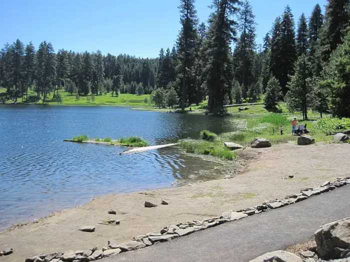 Walton LakeCampingPhoto: Recreation.gov (RIDB) / public domain6.4 mi
Source: Roamze catalog (indexable pages within 10 miles, PostGIS distance)
 Painted Hills OverlookHiking · ~18 min drivePhoto: Moo.The.Cow, CC BY 2.0 (via Flickr)
 Carroll RimHiking · ~19 min drivePhoto: lamblukas, CC BY 2.0 (via Flickr)
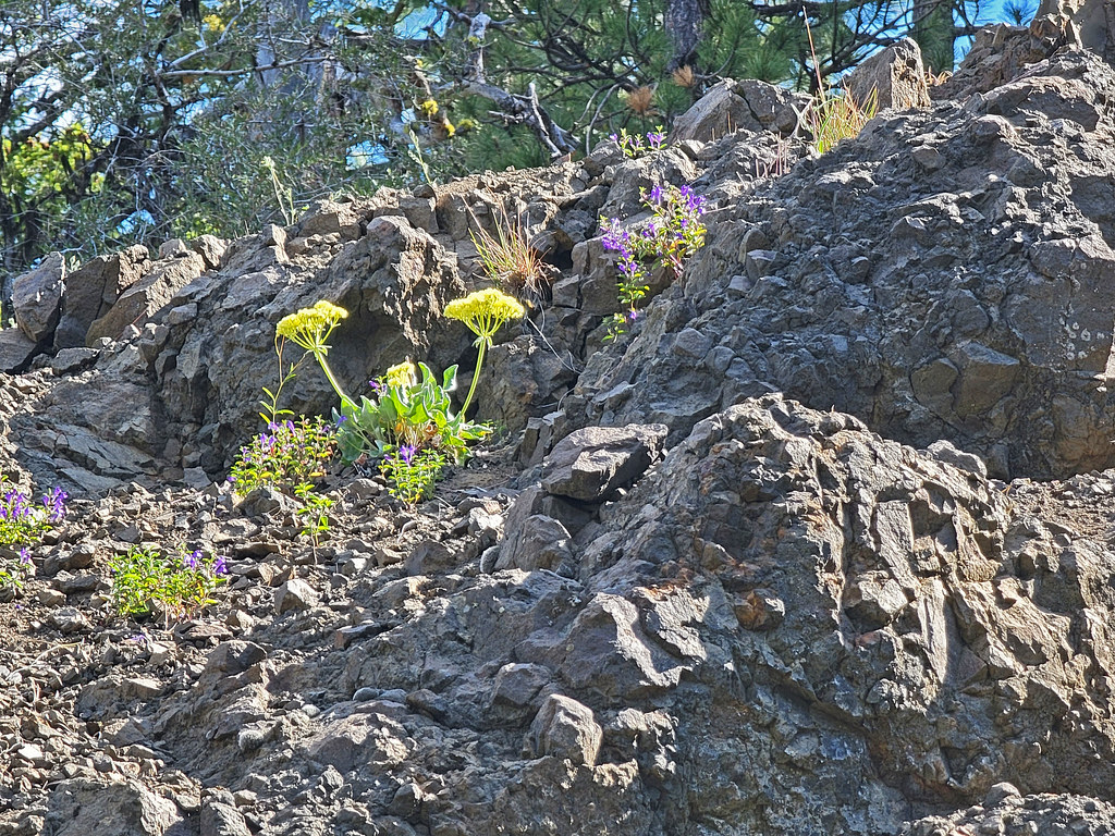 Independent MineHiking · ~21 min drivePhoto: AndreyZharkikh, CC BY 2.0 (via Flickr)
- Wildcat TrailHiking · ~14 min drive
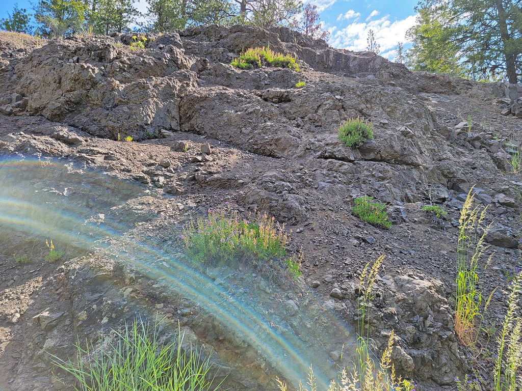 Lookout MountainHiking · ~21 min drivePhoto: AndreyZharkikh, CC BY 2.0 (via Flickr)
 Steins PillarHiking · ~25 min drivePhoto: U.S. Forest Service- Pacific Northwest Region, Public domain (via Wikimedia Commons)
- Giddy-Up-GoHiking · ~26 min drivePhoto: U.S. Forest Service- Pacific Northwest Region, Public domain (via Wikimedia Commons)
- Baneberry TrailHiking · ~21 min drivePhoto: AndreyZharkikh, CC BY 2.0 (via Flickr)
- MCGINNIS CREEKHiking · ~2 min drive
- Cougar Creek Trail #835Hiking · Next door
Also worth it near here
Best time to visit COUGAR CREEK
Best months: April–October. Best months have typical highs of 55–85 °F, lows of 30 °F or warmer (32 °F where the station doesn't record snow), at most one snowy day and no more than 12 wet days.
Jan
43° / 26°
10 wet
Feb
46° / 26°
9 wet
Mar
52° / 29°
10 wet
Apr
57° / 33°
10 wet
May
65° / 39°
10 wet
Jun
72° / 44°
7 wet
Jul
83° / 51°
4 wet
Aug
82° / 51°
3 wet
Sep
75° / 45°
5 wet
Oct
62° / 37°
8 wet
Nov
50° / 30°
9 wet
Dec
41° / 25°
11 wet
Typical high / low (°F) and days with rain or snow, 1991–2020. Measured at Mitchell 2 E, OR, 13.9 mi away at 3,320 ft. The station sits about 1,600 ft lower than this place, so expect it a little cooler here. This station doesn't record snowfall. Source: NOAA NCEI U.S. Climate Normals 1991–2020.


