Princes Tasha (Cape Mtn.Trail)
- 1.7 mi
- round trip
- 787 ft
- climb
- 1,384 ft
- high point
- Out and back
- route
- Jun–Sep
- best months
Is Princes Tasha (Cape Mtn.Trail) open right now?
Closure in the area
There's a closure order in Siuslaw National Forest. It doesn't name Princes Tasha (Cape Mtn.Trail), so check the source for the area it covers.
Homestead Trailhead Closure
Agency closure covering Siuslaw National Forest · Order 06-12-10-26-11 · USFS · Siuslaw National Forest
Sutton Lake Boat Ramp Closure
Agency alert covering Siuslaw National Forest · Order 06-12-10-26-07 · USFS · Siuslaw National Forest
As of · Source: USFS · Siuslaw National Forest. Agencies don't list every closure — check before you go.
Princes Tasha is an easy out-and-back hike on the Cape Mtn. Trail in the Central Coast Ranger District-ODNRA of the Siuslaw National Forest, managed by the Forest Service. The trail is about 1.7 miles long, with a total climb of about 787 feet, and the steepest stretch comes at about 0.8 miles in, where the grade reaches 17%. The route is rated easy and is open to horses and bikes on its natural surface. It starts at about 1,334 feet and reaches a high of about 1,384 feet before returning. Summer is the most comfortable time to go. A nearby weather station in Florence records typical July highs around 68°F with only about five wet days, while winter months typically see rain on 20 or more days. The station sits a few hundred feet lower, so temperatures on the trail run cooler than the station's figures.
Local outfitters
- Handy Haven RV Park22 mi away
- All Depth Charters37 mi away
Not on Roamze yet. Their page has how to reach them.
- Wapati (Cape Mtn. Trail)Hiking0.6 mi
- Cape Mtn. (Cape Mtn. Trail)Hiking0.6 mi
- Berry Cr. (Cape Mtn. Trail)Hiking0.6 mi
 Cape CreekCanoeingPhoto: Taken by User:Cacophony on December 28th, 2005., CC BY-SA 2.5 (via Wikimedia Commons)2.1 mi
- Baker Beach CampgroundCamping2.3 mi
- Alder DuneCamping2.8 mi
- Sutton CreekCanoeing3.5 mi
- Mercer CreekCanoeing3.6 mi
Source: Roamze catalog (indexable pages within 10 miles, PostGIS distance)
 Blue Horizon TrailHiking · ~3 min drivePhoto: Barbara Ann Spengler from Arizona & Florida, USA, CC BY 2.0 (via Wikimedia Commons)
 Scurvy Ridge (Cape Mtn. Trail)Hiking · ~3 min drivePhoto: lather head, CC BY 2.0 (via Flickr)
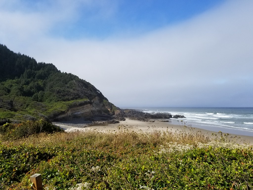 Cummins RidgeHiking · ~18 min drivePhoto: douaireg, CC BY-SA 2.0 (via Flickr)
- BLUE HORIZON (CAPE MTN. TRAIL)Hiking · ~3 min drivePhoto: lather head, CC BY 2.0 (via Flickr)
 Sutton Creek NorthHiking · ~6 min drivePhoto: Kris Arnold from New York, USA, CC BY-SA 2.0 (via Wikimedia Commons)
- Cummins CreekHiking · ~19 min drivePhoto: douaireg, CC BY-SA 2.0 (via Flickr)
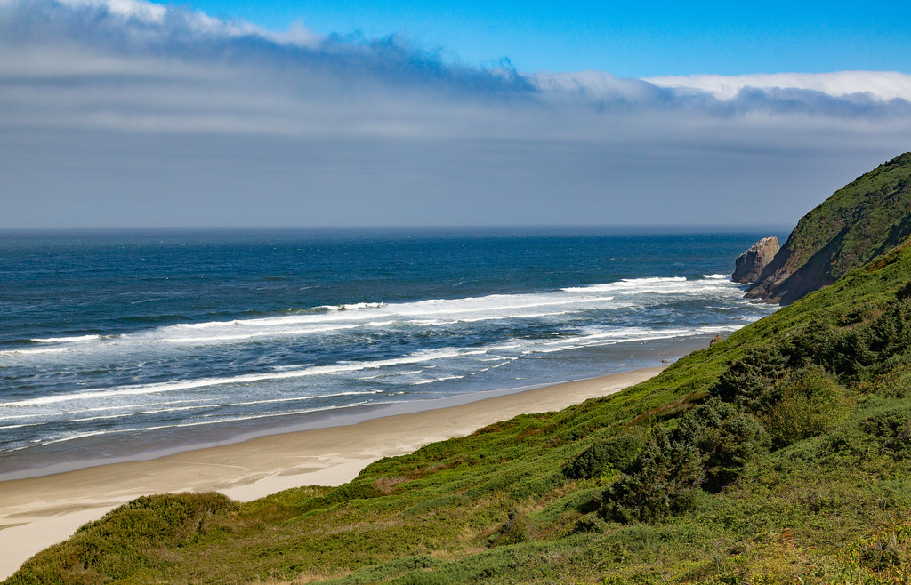 Berry Creek Loop TrailHiking · ~4 min drivePhoto: Tony Webster, CC BY 2.0 (via Flickr)
 Cummins Creek Loop TrailHiking · ~20 min drivePhoto: Roger Sylvia, CC BY-SA 3.0 (via Wikimedia Commons)
 Discovery LoopHiking · ~21 min drivePhoto: Aleksandr Zykov, CC BY-SA 2.0 (via Flickr)
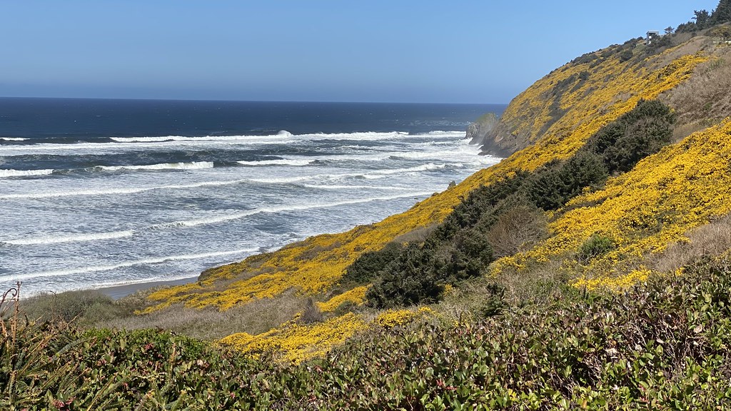 Lilly LakeHiking · ~4 min drivePhoto: lamblukas, CC BY 2.0 (via Flickr)
Also worth it near here
- Cape MountainSummit · ~1 min drive
- Cape CreekCanoeing · ~4 min drivePhoto: Taken by User:Cacophony on December 28th, 2005., CC BY-SA 2.5 (via Wikimedia Commons)
- Sutton Lake Boating SiteBoat launch · ~6 min drive
 Sutton Campground TieMountain biking · ~6 min drivePhoto: Habst, CC BY-SA 4.0 (via Wikimedia Commons)
Best time to visit Princes Tasha (Cape Mtn.Trail)
Best months: June–September. Best months have typical highs of 55–85 °F, lows of 30 °F or warmer (32 °F where the station doesn't record snow), at most one snowy day and no more than 12 wet days.
Jan
49° / 39°
21 wet
Feb
51° / 37°
19 wet
Mar
53° / 39°
22 wet
Apr
56° / 40°
18 wet
May
60° / 43°
14 wet
Jun
64° / 46°
10 wet
Jul
68° / 50°
5 wet
Aug
67° / 49°
6 wet
Sep
66° / 46°
10 wet
Oct
61° / 44°
16 wet
Nov
53° / 40°
19 wet
Dec
48° / 37°
21 wet
Typical high / low (°F) and days with rain or snow, 1991–2020. Measured at Florence #2, OR, 7.1 mi away at 75 ft. The station sits about 1,300 ft lower than this place, so expect it a little cooler here. This station doesn't record snowfall. Source: NOAA NCEI U.S. Climate Normals 1991–2020.
Route details
- Distance
- 1.7 mi round trip
- Climbing
- About 787 ft
- Summit
- 1,474 ft
- Difficulty
- Moderate
- Time
- About 0.5 hours
Season
Season: Year-round.
Other routes up Cape Mountain
Questions about this route
How long is the Princes Tasha (Cape Mtn.Trail) on Cape Mountain?
About 1.7 mi round trip.
How much elevation gain is on the Princes Tasha (Cape Mtn.Trail)?
About 787 ft of climbing round trip.
How hard is the Princes Tasha (Cape Mtn.Trail)?
It is rated moderate.
How long does the Princes Tasha (Cape Mtn.Trail) take?
About 0.5 hours round trip.
When is the best time for the Princes Tasha (Cape Mtn.Trail)?
Year-round.
How many routes go up Cape Mountain?
4: Cape Mtn. (Cape Mtn. Trail), Lookout Loop Trail, LOOKOUT LOOP (CAPE MTN. TRAIL) and Princes Tasha (Cape Mtn.Trail).
Conditions and forecast on Cape Mountain
Daily highs and lows, wind and the chance of precipitation at the summit and route start for the next 7 days, from the Open-Meteo model.
