Cummins Ridge
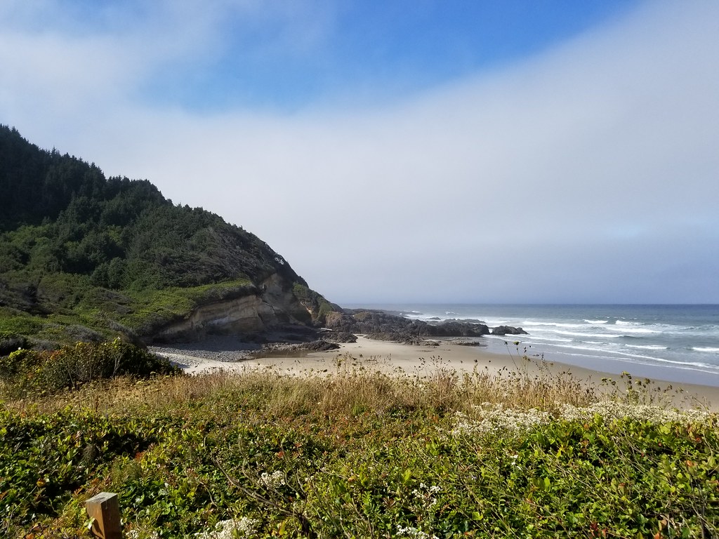 Photo: douaireg, CC BY-SA 2.0 (via Flickr)
- 12.2 mi
- round trip
- 5,633 ft
- climb
- 2,215 ft
- high point
- Out and back
- route
Caution at last check
Agency alerts are in effect for this area; weather is good · USFS, OpenWeather · checked 19 h ago
Is Cummins Ridge open right now?
Closure in the area
There's a closure order in Siuslaw National Forest. It doesn't name Cummins Ridge, so check the source for the area it covers.
Homestead Trailhead Closure
Agency closure covering Siuslaw National Forest · Order 06-12-10-26-11 · USFS · Siuslaw National Forest
Sutton Lake Boat Ramp Closure
Agency alert covering Siuslaw National Forest · Order 06-12-10-26-07 · USFS · Siuslaw National Forest
As of · Source: USFS · Siuslaw National Forest. Agencies don't list every closure — check before you go.
Cummins Ridge is a hard hike in the Central Coast Ranger District-ODNRA of Oregon's Siuslaw National Forest, about 12 miles long with a total elevation gain of about 2,000 feet. The trail is an out-and-back that rises from a low point of about 878 feet to a high of about 2,215 feet. It is managed by the Forest Service, and the trailhead is Cummin's Ridge Trailhead (West), which is open year round. The trail is natural-surfaced and not accessible, and bikes are not allowed. That makes it a route best suited to hikers on foot who plan for a steep climb and a long day on the trail. Nearby, Cummins Creek and Gwynn Creek are hikes within about a mile and a half. Cape Perpetua campground is about 2 miles away, and Tenmile Creek offers canoeing a little over 4 miles off.
Local outfitters
- Handy Haven RV Park12 mi away
- All Depth Charters26 mi away
Not on Roamze yet. Their page has how to reach them.
Keep exploring — more trails worth the drive
Photo: douaireg, CC BY-SA 2.0 (via Flickr)Cummins Creek
~2 min drive
6.63-mile out-and-back trail in Oregon with 2,937 ft elevation gain.
 Photo: Roger Sylvia, CC BY-SA 3.0 (via Wikimedia Commons)
Cummins Creek Loop Trail
~2 min drive
3-mile out-and-back out-and-back hike in Oregon with 1,002 ft gain.
Photo: Roger Sylvia, CC BY-SA 3.0 (via Wikimedia Commons)Oregon Coast
~3 min drive
2.41-mile out-and-back trail on Oregon Coast with 1,330 ft gain/loss
 Photo: Aleksandr Zykov, CC BY-SA 2.0 (via Flickr)
Discovery Loop
~3 min drive
2.04-mile out-and-back trail in Oregon with 1,125 ft elevation gain.
 Photo: Sheila Sund from Salem, United States, CC BY 2.0 (via Wikimedia Commons)
Cooks Ridge
~3 min drive
4.96-mile out-and-back trail on a ridge in Oregon with 1,511 ft gain
Photo: Aleksandr Zykov, CC BY-SA 2.0 (via Flickr)Captain Cook
~3 min drive
1.20-mile out-and-back trail in Oregon with 359 ft gain.
 Photo: U.S. Forest Service- Pacific Northwest Region, Public domain (via Wikimedia Commons)
Amanda's
~4 min drive
3.28-mile loop trail in Oregon with 474 ft elevation gain.
 Photo: John Fowler from Placitas, NM, USA, CC BY 2.0 (via Wikimedia Commons)
Gwynn Creek
~2 min drive
4.65-mile out-and-back trail in Oregon with 1,448 ft gain
Photo: Roger Sylvia, CC BY-SA 3.0 (via Wikimedia Commons)Giant Spruce
~3 min drive
2.19-mile out-and-back trail in Oregon with 569 ft elevation gain.
HIKE
Nelson Ridge (Cape Mtn Trail)
~19 min drive
6.89-mile out-and-back trail on a ridge in Oregon with 1,542 ft of elevation gain.

