Potlicker
- 1.0 mi
- round trip
- 347 ft
- climb
- 4,887 ft
- high point
- Out and back
- route
- May–Oct
- best months
Is Potlicker open right now?
Closure in the area
There's a closure order in Siskiyou Mountains Ranger District. It doesn't name Potlicker, so check the source for the area it covers.
Ashland Municipal Watershed Camping and Fire Prohibition
Agency closure covering Siskiyou Mountains Ranger District · Order 06-10-20-23-52 · USFS · Siskiyou Mountains Ranger District
As of · Source: USFS · Siskiyou Mountains Ranger District. Agencies don't list every closure — check before you go.
Potlicker is an easy, 1-mile out-and-back hike in the Siskiyou Mountains Ranger District of the Rogue River-Siskiyou National Forests in southern Oregon. The trail rises about 320 feet from its starting point, reaching a high point of 4,887 feet, and the climb is front-loaded, with the steepest stretch at about 0.34 miles. The route is natural-surface and allows both horses and bikes. The Forest Service manages the land. Summer is the most comfortable time to go. Typical averages from a nearby weather station at Howard Prairie Dam show July and August highs around 79°F with only two or three wet days a month, while winter brings highs in the mid-30s and several snow days each month. The trail opens from June 1 through October 31, and the hike takes about half a day. Horn Gap Trail and No Candles are both about 1.3 miles away, and climbers can head to Mt. Ashland's Dream Boulder, about 3 miles off. Mt. Ashland campground is about 3.8 miles away.
Local outfitters
- Ashland Family YMCA5 mi away
- Momentum River Expeditions5 mi away
Not on Roamze yet. Their page has how to reach them.
Best time to go · May–Oct
Best time to visit Potlicker
Best months: May–October. Best months have typical highs of 55–85 °F, lows of 30 °F or warmer (32 °F where the station doesn't record snow), at most one snowy day and no more than 12 wet days.
Jan
36° / 23°
15 wet · 9 snow
Feb
40° / 23°
14 wet · 8 snow
Mar
45° / 26°
16 wet · 8 snow
Apr
50° / 29°
13 wet · 4 snow
May
60° / 36°
11 wet · 1 snow
Jun
68° / 40°
5 wet
Jul
79° / 47°
3 wet
Aug
79° / 46°
2 wet
Sep
72° / 40°
4 wet
Oct
58° / 33°
8 wet · 1 snow
Nov
42° / 28°
13 wet · 5 snow
Dec
35° / 23°
15 wet · 9 snow
Typical high / low (°F) and days with rain or snow, 1991–2020. Measured at Howard Prairie Dam, OR, 19.9 mi away at 4,567 ft. Source: NOAA NCEI U.S. Climate Normals 1991–2020.
Closures we've recorded since August 2026
Stage 2 Public Use Fire Restrictions (Forest-wide)
Rogue River-Siskiyou National Forests · Order dated September 4, 2026; seen Sep 3, 2026 → lifted Oct 28, 2026 · Forest Service
Stage 3 Public Use Fire Restrictions (Forest-wide)
Rogue River-Siskiyou National Forests · Order dated July 17, 2026; seen Aug 23, 2026 → lifted Sep 3, 2026 · Forest Service
Keep exploring — more trails worth the drive
 Photo: kallahar, CC BY 3.0 (via Wikimedia Commons)
Marty's
~5 min drive
1.52-mile out-and-back trail in Oregon with 375 ft elevation gain.
 Photo: kallahar, CC BY 3.0 (via Wikimedia Commons)
Wonder
~6 min drive
3-mile loop trail in Oregon with 533 ft gain and 957 ft loss.
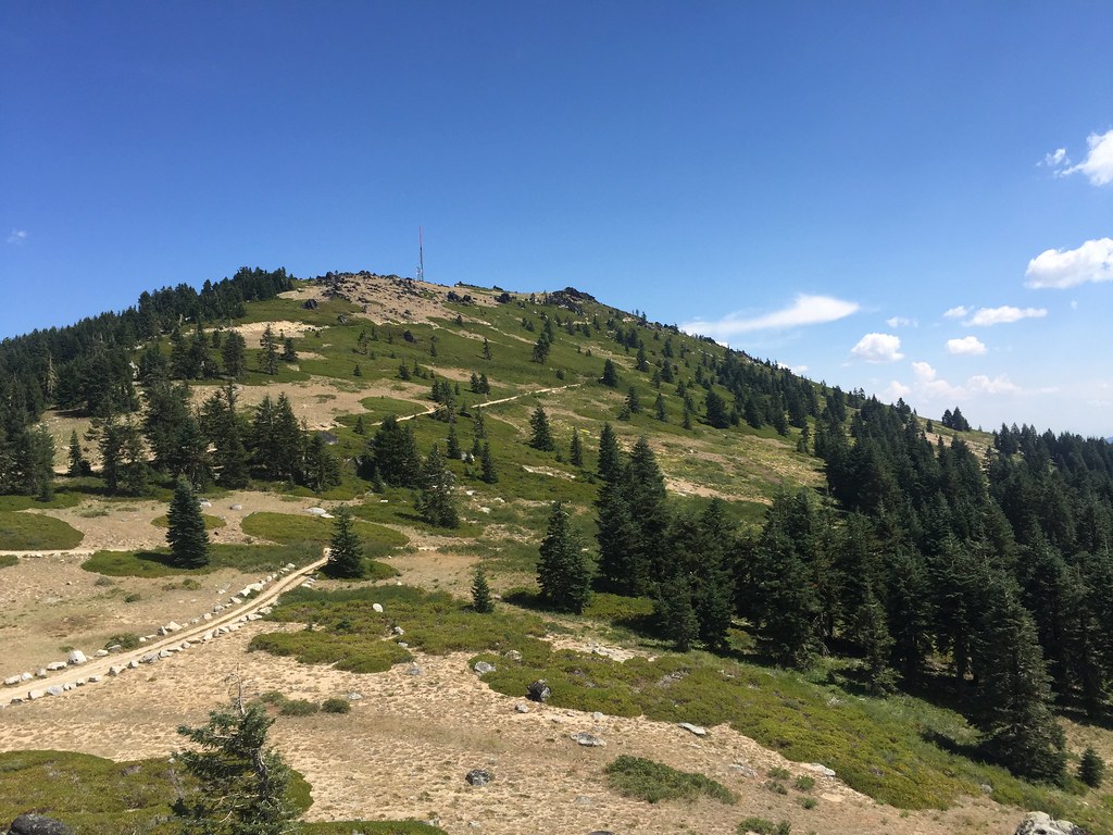 Photo: zappowbang, CC BY-SA 2.0 (via Flickr)
Split Rock
~6 min drive
6.22-mile out-and-back trail in Oregon with 880 ft elevation gain.
Photo: kallahar, CC BY 3.0 (via Wikimedia Commons)Marty's Tie
~5 min drive
0.38-mile out-and-back trail in Oregon with 27 ft gain and 400 ft loss.
 Photo: zappowbang, CC BY-SA 2.0 (via Flickr)
SUMMIT NORDIC
~6 min drive
2.76-mile out-and-back trail in Oregon with 1,173 ft elevation gain/loss
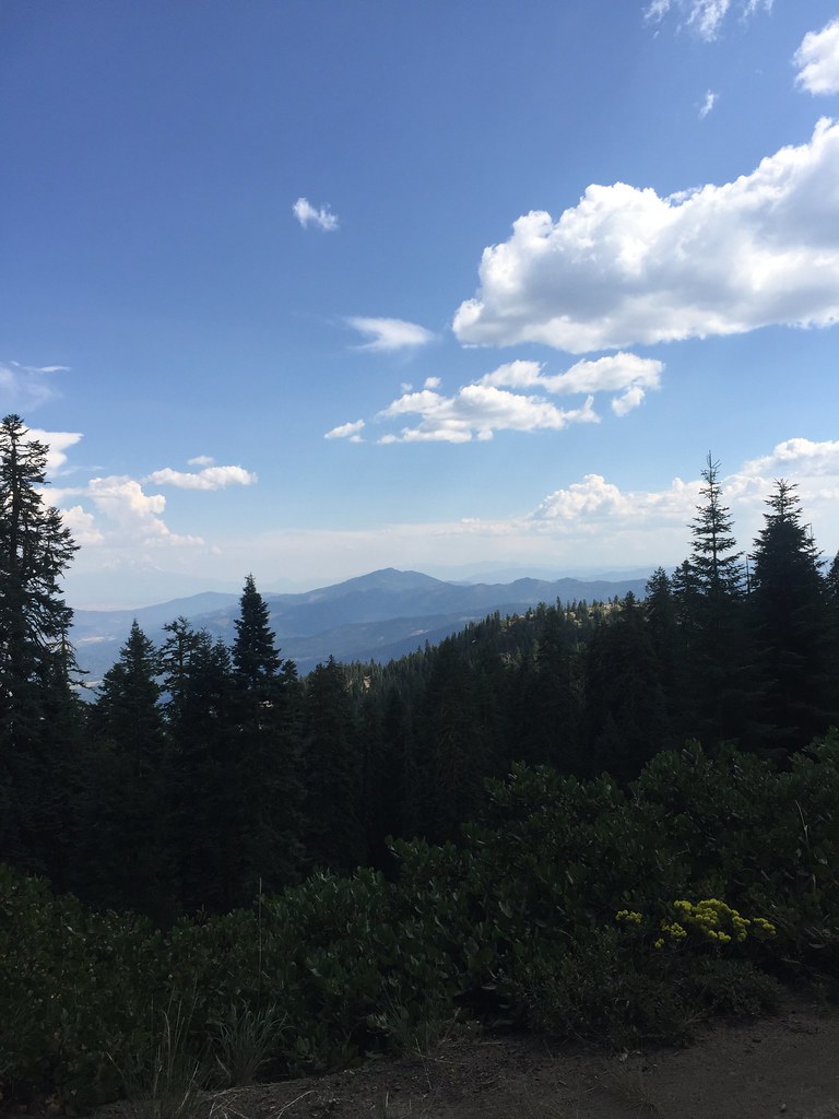 Photo: zappowbang, CC BY-SA 2.0 (via Flickr)
GROUSE CREEK NORDIC
~7 min drive
8.66-mile out-and-back trail in Oregon with 2,866 ft elevation gain/loss
Photo: kallahar, CC BY 3.0 (via Wikimedia Commons)Lewis Loops: Gimble
~5 min drive
0.45-mile out-and-back trail in Oregon with 382 ft gain.
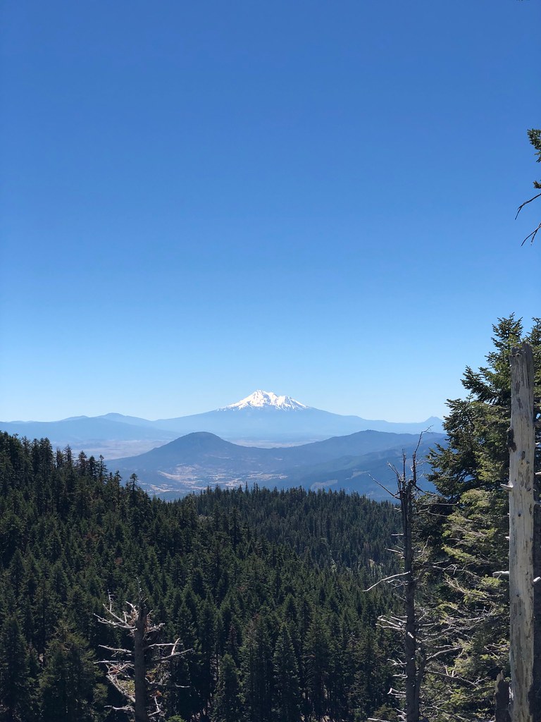 Photo: zappowbang, CC BY-SA 2.0 (via Flickr)
Summit
~6 min drive
1.68-mile out-and-back trail in Oregon with 1,185 ft gain
HIKE
Wagner Butte
~5 min drive
10.40-mile out-and-back to Wagner Butte with 2,779 ft gain in Oregon
Photo: kallahar, CC BY 3.0 (via Wikimedia Commons)Ostrich Peak Trail
~5 min drive
1.14-mile out-and-back hike in Oregon with 460 ft elevation gain.


