Poole Creek Loop Xc-Ski
- 2.6 mi
- loop
- 288 ft
- climb
- 4,377 ft
- high point
- Loop
- route
- Jun–Oct
- best months
Caution today
Agency alerts are in effect for this area; weather is marginal · USFS, OpenWeather · checked 8 h ago
Is POOLE CREEK LOOP XC-SKI open right now?
Alert in the area
The Forest Service lists 6 alerts for Umpqua National Forest.
Tuttle Creek Road Closure
Agency alert covering Umpqua National Forest · USFS · Umpqua National Forest
Fall Prescribed Burning
Agency alert covering Diamond Lake Ranger District · USFS · Diamond Lake Ranger District
Fall Prescribed Burning
Agency alert covering Umpqua National Forest · USFS · Umpqua National Forest
Poole Creek Campground Closed for the 2026 Season
Agency alert covering Umpqua National Forest · USFS · Umpqua National Forest
National Forest Service Road 28 Roadwork
Agency alert covering Umpqua National Forest · USFS · Umpqua National Forest
As of · Source: USFS · Umpqua National Forest. Agencies don't list every closure — check before you go.
Poole Creek Loop XC-Ski is a 2.6-mile loop hike in the Diamond Lake Ranger District of Oregon's Umpqua National Forest, managed by the Forest Service. The trail is rated easy, with a total elevation gain of 288 feet and a total loss of 296 feet over the course of the loop. The climb is moderate, with the steepest stretch at about 1.9 miles, where the grade reaches 11 percent. Summer is the most comfortable time to go. Typical averages from a nearby weather station at Lemolo Lake show July and August highs around 79°F with only about four wet days a month, while winter brings frequent snow days and highs in the upper 30s. Poole Creek Campground (H) sits just 0.1 mile away, and Poole Creek and Bunker Hill Campground are both within half a mile. The Lemolo Lake Peninsula hike is about 0.6 mile off.
Local outfitters
- Diamond Lake Resort12 mi away
- Shelter Cove Resort & Marina20 mi away
Not on Roamze yet. Their page has how to reach them.
- Poole Creek Campground (H)Camping0.1 mi
 Poole CreekCampingPhoto: Recreation.gov (RIDB) / public domain0.4 mi
 Bunker Hill CampgroundCampingPhoto: Recreation.gov (RIDB) / public domain0.5 mi
- Lemolo Lake PeninsulaHiking0.6 mi
- Lemolo Lake ShortcutHiking0.7 mi
- Lemolo LakeHiking0.8 mi
- North Umpqua Trail: Dread and TerrorHiking1.1 mi
- North Umpqua RiverCanoeing3.1 mi
Source: Roamze catalog (indexable pages within 10 miles, PostGIS distance)
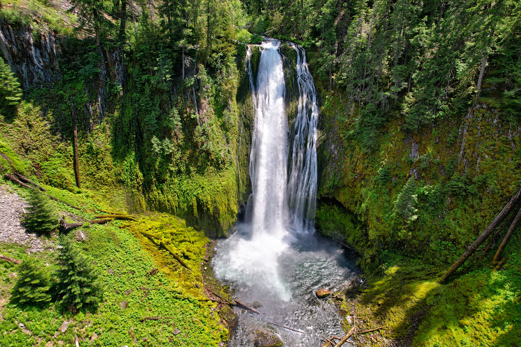 Lemolo FallsHiking · ~4 min drivePhoto: Forest Service Pacific Northwest Region, Public Domain Mark (via Flickr)
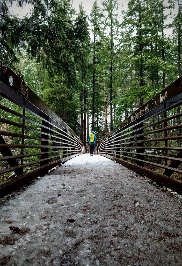 Umpqua Hot SpringsHiking · ~15 min drivePhoto: OregonDOT — CC BY 2.0 (via Flickr)
- North Umpqua Trail: Dread and TerrorHiking · ~2 min drive
- North Umpqua Trail: LemloHiking · ~7 min drive
- KELSAY MTN. LOOP SNOMOHiking · ~4 min drive
- LEMOLO LAKEHiking · Next door
- ELEPHANT MTN. LOOP WINTERHiking · ~7 min drive
- BEAR CREEK SNOMOHiking · ~8 min drive
- SUMMIT LAKE SNOMOHiking · ~7 min drive
- Littler Pit LakeHiking · ~6 min drive
Best time to visit POOLE CREEK LOOP XC-SKI
Best months: June–October. Best months have typical highs of 55–85 °F, lows of 30 °F or warmer (32 °F where the station doesn't record snow), at most one snowy day and no more than 12 wet days.
Jan
39° / 27°
17 wet · 10 snow
Feb
42° / 27°
15 wet · 9 snow
Mar
46° / 29°
17 wet · 9 snow
Apr
50° / 32°
17 wet · 5 snow
May
61° / 38°
14 wet · 1 snow
Jun
68° / 43°
9 wet
Jul
79° / 48°
4 wet
Aug
79° / 47°
4 wet
Sep
72° / 43°
6 wet
Oct
58° / 36°
12 wet · 1 snow
Nov
45° / 31°
16 wet · 6 snow
Dec
38° / 26°
18 wet · 11 snow
Typical high / low (°F) and days with rain or snow, 1991–2020. Measured at Lemolo Lake 3 Nnw, OR, 3.4 mi away at 4,077 ft. Source: NOAA NCEI U.S. Climate Normals 1991–2020.

