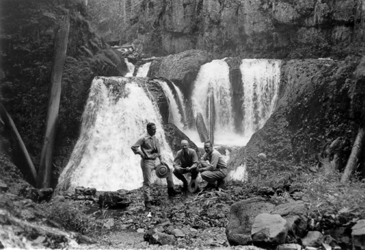
Green Canyon Cg
Campground
Campground · 4.9 mi from the trail
Caution at last check
Agency alerts are in effect for this area; weather is good · USFS, OpenWeather · checked 20 h ago
Closure in the area
There's a closure order in Clackamas River Ranger District. It doesn't name PLAZA CREEK, so check the source for the area it covers (2 listed).
Austin Fire Closure
Agency closure covering Clackamas River Ranger District · Order 06-06-05-26-20 · USFS · Clackamas River Ranger District
Clackamas River RD Fires
Agency closure covering Clackamas River Ranger District · Order 06-06-05-26-20 · USFS · Clackamas River Ranger District
Tamanawas Falls Trail closed due to instability hazards
Agency alert covering Mt. Hood National Forest · USFS · Mt. Hood National Forest
Emergency fire closure on FR 57
Agency alert covering Clackamas River Ranger District · USFS · Clackamas River Ranger District
Eagle Creek Fire Area Closures
Agency alert covering Mt. Hood National Forest · Order 06-22-01-26-04 · USFS · Mt. Hood National Forest
As of · Source: USFS · Clackamas River Ranger District. Agencies don't list every closure — check before you go.
Plaza Creek is a hard out-and-back hike in Oregon's Roaring River Wilderness, part of the Clackamas River Ranger District of Mt. Hood National Forest. The trail starts at 4,225 feet and climbs to 4,225 feet, with a total gain of 3,256 feet over 4.5 miles. The steepest stretch comes at about 1.9 miles, where the grade reaches 36 percent. Summer is the most comfortable time to go. Typical averages from a nearby weather station at Government Camp show July and August highs around 70°F with only about four wet days a month, while winter months bring highs in the mid-30s and rain on 20 or more days. The Plaza hike lies just 0.1 mile away, and the Plaza Lake Trail #788 is about 0.6 mile off. Paddlers can reach the South Fork Salmon River at about 2.4 miles and the Roaring River at about 3 miles.
Green Canyon Cg
Campground
 If it rainsIan Poellet, CC BY-SA 3.0 · Wikimedia Commons
Places © OpenStreetMap contributors, Places © Overture Maps Foundation · Photos: Ian Poellet, CC BY-SA 3.0 (commons)
More in Mount Hood VillagesNot on Roamze yet. Their page has how to reach them.
Source: Roamze catalog (indexable pages within 10 miles, PostGIS distance)
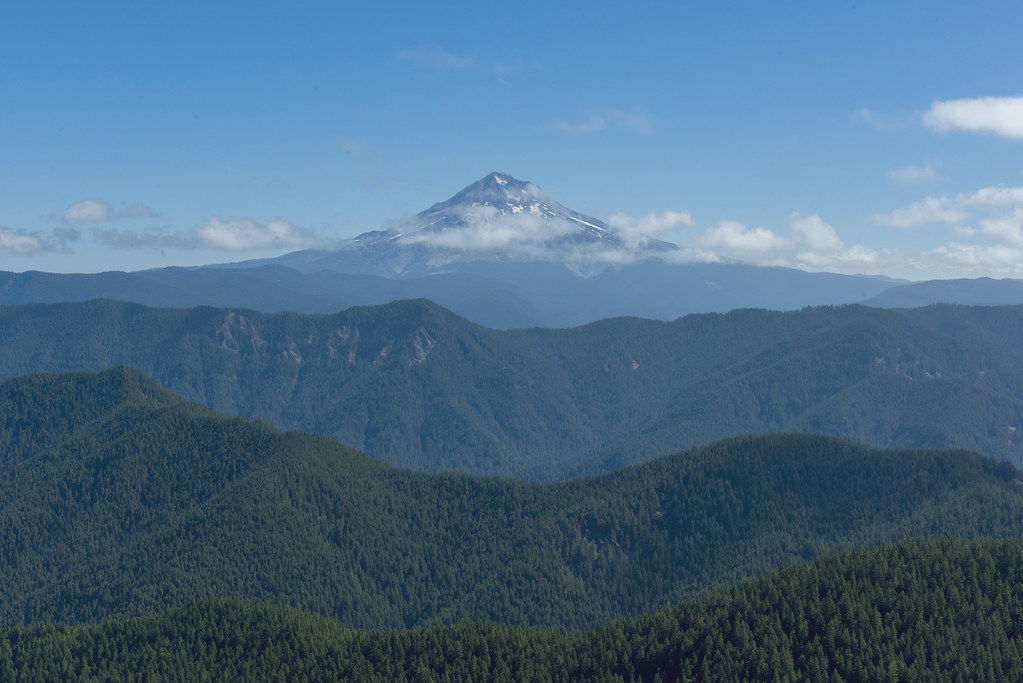 Salmon MountainHiking · ~4 min drivePhoto: OregonDOT, CC BY 2.0 (via Flickr)
 Salmon ButteHiking · ~7 min drivePhoto: U.S. Forest Service- Pacific Northwest Region, Public domain (via Wikimedia Commons)
 Bonanza Trail #786Hiking · ~11 min drivePhoto: Sam Beebe/Ecotrust, CC BY-SA 3.0 (via Wikimedia Commons)
 Old Salmon RiverHiking · ~9 min drivePhoto: U.S. Forest Service- Pacific Northwest Region, Public domain (via Wikimedia Commons)Salmon RiverHiking · ~8 min drivePhoto: U.S. Forest Service- Pacific Northwest Region, Public domain (via Wikimedia Commons)
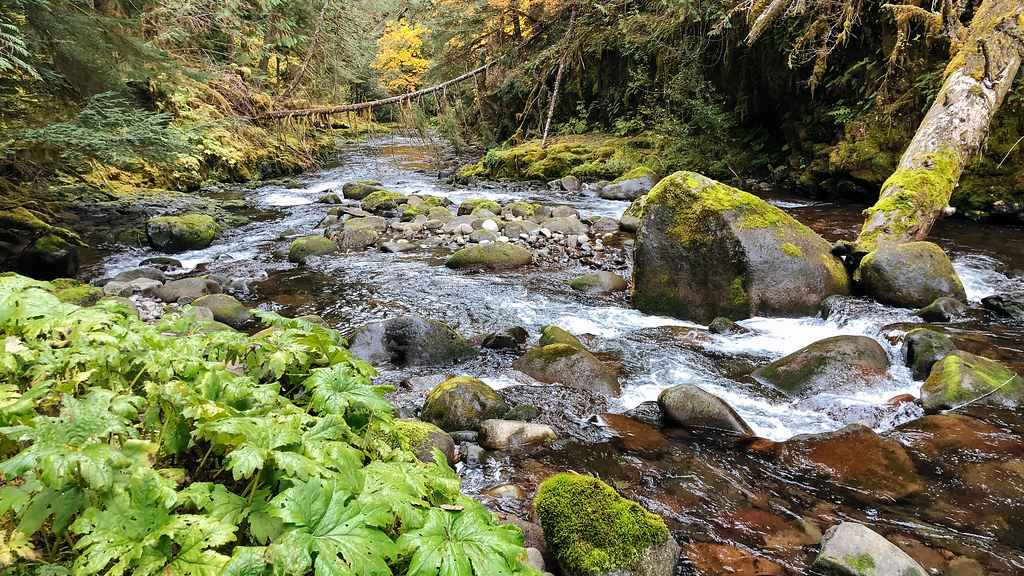 Huxley Lake Trail #521Hiking · ~9 min drivePhoto: Northwest Rafting Company, CC BY 2.0 (via Flickr)
 Dry RidgeHiking · ~12 min drivePhoto: OregonDOT, CC BY 2.0 (via Flickr)
Best months: June–September. Best months have typical highs of 55–85 °F, lows of 30 °F or warmer (32 °F where the station doesn't record snow), at most one snowy day and no more than 12 wet days.
Jan
37° / 26°
20 wet
Feb
38° / 26°
17 wet
Mar
41° / 28°
20 wet
Apr
45° / 31°
18 wet
May
54° / 36°
15 wet
Jun
59° / 41°
10 wet
Jul
69° / 48°
4 wet
Aug
70° / 48°
4 wet
Sep
64° / 45°
8 wet
Oct
53° / 37°
13 wet
Nov
42° / 30°
18 wet
Dec
35° / 26°
21 wet
Typical high / low (°F) and days with rain or snow, 1991–2020. Measured at Government Camp, OR, 13.9 mi away at 3,980 ft. This station doesn't record snowfall. Source: NOAA NCEI U.S. Climate Normals 1991–2020.