Plaza
- 22.1 mi
- round trip
- 7,528 ft
- climb
- 4,623 ft
- high point
- Out and back
- route
Is Plaza open right now?
Alert in the area
The Forest Service lists 4 alerts for Zigzag Ranger District.
Tamarack Quarry closed beginning Sept. 1
Agency alert covering Zigzag Ranger District · Order 06-06-09-26-12 · USFS · Zigzag Ranger District
Eagle Creek Fire Area Closures
Agency alert covering Mt. Hood National Forest · Order 06-22-01-26-04 · USFS · Mt. Hood National Forest
FR 4613 road damage- use caution
Agency alert covering Mt. Hood National Forest · USFS · Mt. Hood National Forest
Crane Creek bridge closed on the Barlow Road
Agency alert covering Mt. Hood National Forest · USFS · Mt. Hood National Forest
As of · Source: USFS · Zigzag Ranger District. Agencies don't list every closure — check before you go.
Plaza is a hard hike in the Salmon-Huckleberry Wilderness, part of the Zigzag Ranger District of Mt. Hood National Forest in Oregon. The Forest Service manages the land, and the trail is natural-surfaced. The route is an out-and-back of about 22 miles, with a total climb of roughly 7,500 feet. The high point reaches about 4,623 feet, and the steepest stretch comes around mile 10, where the grade reaches about 33%. Summer is the most comfortable time to go. Typical averages from a nearby weather station at Government Camp show July and August highs around 70°F with only about four wet days a month, while winter months bring highs in the mid-30s and rain on most days. Plaza Creek lies just 0.1 mile away, and Plaza Lake Trail #788 is about 0.7 mile off. The South Fork Salmon River, a canoeing route, is about 2.4 miles away, and Green Canyon Campground is about 4.9 miles away.
Keep exploring — more trails worth the drive
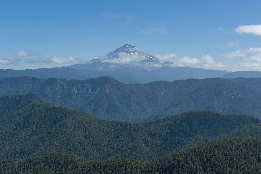 Photo: OregonDOT, CC BY 2.0 (via Flickr)
Salmon Mountain
~4 min drive
3.20-mile out-and-back trail at Salmon Mountain, Oregon
 Photo: U.S. Forest Service- Pacific Northwest Region, Public domain (via Wikimedia Commons)
Salmon Butte
~7 min drive
10.20-mile out-and-back trail to Salmon Butte in Oregon with 3,399 ft gain.
 Photo: Sam Beebe/Ecotrust, CC BY-SA 3.0 (via Wikimedia Commons)
Bonanza Trail #786
~11 min drive
9.64-mile out-and-back trail in Oregon with 5,572 ft elevation gain/loss.
HIKE
Tumala Mountain Summit Trail
~3 min drive
0.64-mile out-and-back to Tumala Mountain Summit in Oregon
 Photo: U.S. Forest Service- Pacific Northwest Region, Public domain (via Wikimedia Commons)
Old Salmon River
~8 min drive
3.80-mile out-and-back trail on the Salmon River in Oregon.
Photo: U.S. Forest Service- Pacific Northwest Region, Public domain (via Wikimedia Commons)Salmon River
~8 min drive
21.70-mile out-and-back trail on Salmon River in Oregon with 3,046 ft gain
HIKE
Bissell Trail
~9 min drive
1.12-mile out-and-back trail in Oregon with 546 ft of elevation gain
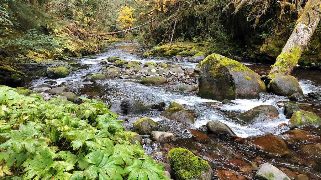 Photo: Northwest Rafting Company, CC BY 2.0 (via Flickr)
Huxley Lake Trail #521
~9 min drive
2.74-mile point-to-point trail in Oregon with 1,922 ft elevation gain.
 Photo: OregonDOT, CC BY 2.0 (via Flickr)
Dry Ridge
~12 min drive
9.90-mile out-and-back trail in Oregon with 3,454 ft elevation gain
HIKE
Shellrock Lake Trail #700
~11 min drive
2.03-mile point-to-point trail in Oregon with 497 ft gain and 1,077 ft loss.
Route details
- Distance
- 22.1 mi round trip
- Climbing
- About 7,528 ft
- Summit
- 4,376 ft
- Difficulty
- Hard
- Time
- About 8.5 hours
Other routes up Huckleberry Mountain
Questions about this route
How long is the Plaza on Huckleberry Mountain?
About 22.1 mi round trip.
How much elevation gain is on the Plaza?
About 7,528 ft of climbing round trip.
How hard is the Plaza?
It is rated hard.
How long does the Plaza take?
About 8.5 hours round trip.
How many routes go up Huckleberry Mountain?
2: Bonanza Trail #786 and Plaza.
Conditions and forecast on Huckleberry Mountain
Daily highs and lows, wind and the chance of precipitation at the summit and route start for the next 7 days, from the Open-Meteo model.
