Pct - Oregon Section C
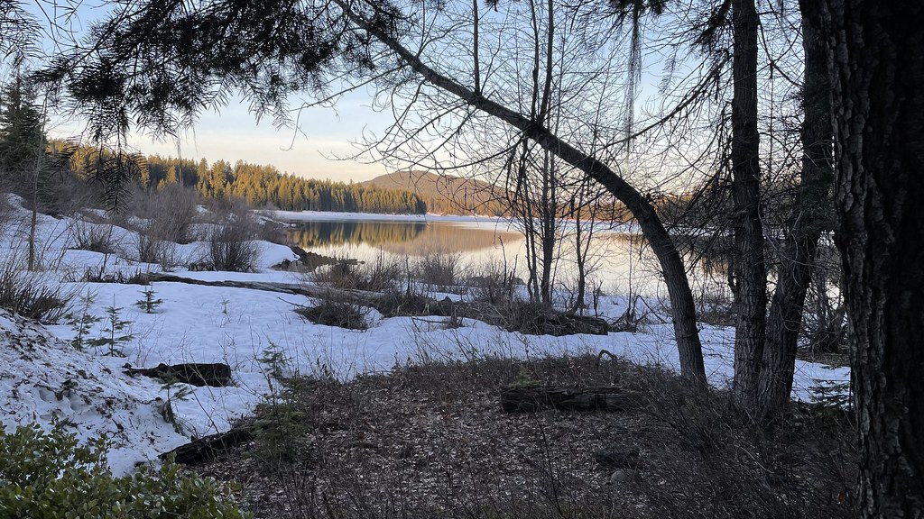 Photo: jfdervin, CC BY-SA 2.0 (via Flickr)
- 73.8 mi
- one way
- 7,503 ft
- climb
- 7,359 ft
- high point
- Point to point
- route
Is Pct - Oregon Section C open right now?
Closure in the area
There's a closure order in High Cascades Ranger District. It doesn't name Pct - Oregon Section C, so check the source for the area it covers.
Upper Rogue Cooperative Travel Management Area (Green Dot)
Agency closure covering High Cascades Ranger District · Order 06-10-24-26-04 · USFS · High Cascades Ranger District
Fish Lake Boat Ramp Closure
Agency alert covering High Cascades Ranger District · Order 06-10-24-26-02 · USFS · High Cascades Ranger District
As of · Source: USFS · High Cascades Ranger District. Agencies don't list every closure — check before you go.
Pct - Oregon Section C is a 73.8-mile point-to-point hike in the High Cascades Ranger District of the Rogue River-Siskiyou National Forests in southern Oregon. The Forest Service manages the land, and the route is rated expert, with a total elevation gain of 7,503 feet from a starting point of about 5,031 feet to a high of 7,359 feet. The trail is open to horses, and bikes are not allowed. That makes it a natural fit for a pack horse trip rather than a day on foot or wheels. Several other destinations sit close by. High Lakes Bike and Summit are both within a third of a mile, and the Petunia cross-country ski area is about 0.4 miles away. For an overnight base, Fish Lake Campground is roughly 1.4 miles off.
Local outfitters
- Sky Lakes Wilderness Adventures25 mi away
- Ashland Family YMCA26 mi away
Not on Roamze yet. Their page has how to reach them.
Keep exploring — more trails worth the drive
Photo: jfdervin, CC BY-SA 2.0 (via Flickr)LOLLIPOP LOOP NORDIC
~2 min drive
7.96-mile out-and-back trail in Oregon with 1,260 ft elevation gain
 Photo: ex_magician, CC BY 2.0 (via Flickr)
Freye Lake
~5 min drive
0.40-mile out-and-back trail to Freye Lake in Oregon, 55 feet of elevation loss.
Photo: ex_magician, CC BY 2.0 (via Flickr)Mt. Mcloughlin Trail
~5 min drive
Point-to-point ascent of a prominent Cascade volcanic peak with expansive views.
 Photo: U.S. Forest Service- Pacific Northwest Region, Public domain (via Wikimedia Commons)
FISH LAKE SNOMO
~5 min drive
17.8-mile out-and-back trail in Oregon with 3,377 ft gain/loss and 4,999 ft max elevation.
 Photo: Holzwerk, CC BY 2.0 (via Flickr)
HYATT LAKE
~5 min drive
5.4-mile out-and-back trail to Hyatt Lake in Oregon with 1,319 ft elevation gain.
Photo: Holzwerk, CC BY 2.0 (via Flickr)Rye Loop
~6 min drive
Rye Loop is a 1.40-mile loop in Oregon with 61 ft gain.
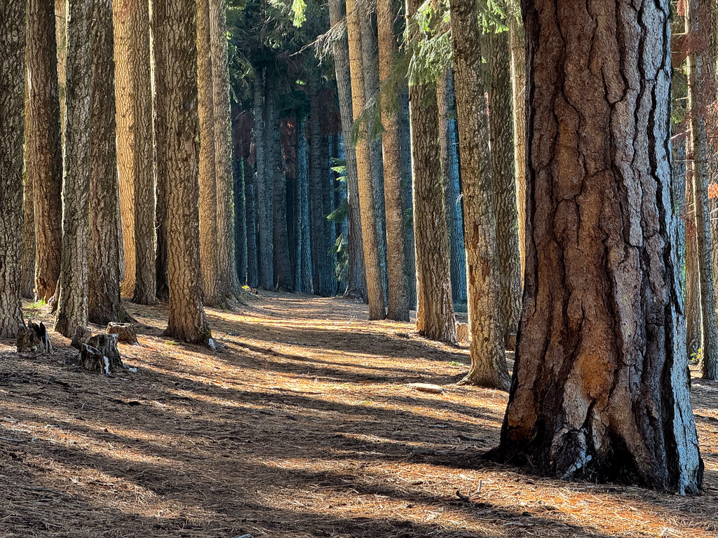 Photo: Holzwerk, CC BY 2.0 (via Flickr)
High Lakes Bike Trail
~6 min drive
6.70-mile out-and-back bike trail in Oregon with 698 ft elevation gain.
 Photo: ex_magician, CC BY 2.0 (via Flickr)
Brown Mountain North Trail #3724
~6 min drive
Short out-and-back hike on Brown Mountain's north slope with Cascade views.
Photo: Holzwerk, CC BY 2.0 (via Flickr)Billie Creek Nature
~7 min drive
Billie Creek Nature is a 1.20-mile out-and-back trail in Oregon with 124 ft of elevation gain.
Photo: Holzwerk, CC BY 2.0 (via Flickr)FOURMILE LAKE
~6 min drive
11.56-mile out-and-back trail to Fourmile Lake in Oregon with 1,933 ft elevation gain.


Map and trail data © OpenStreetMap contributors
