Billie Creek Nature
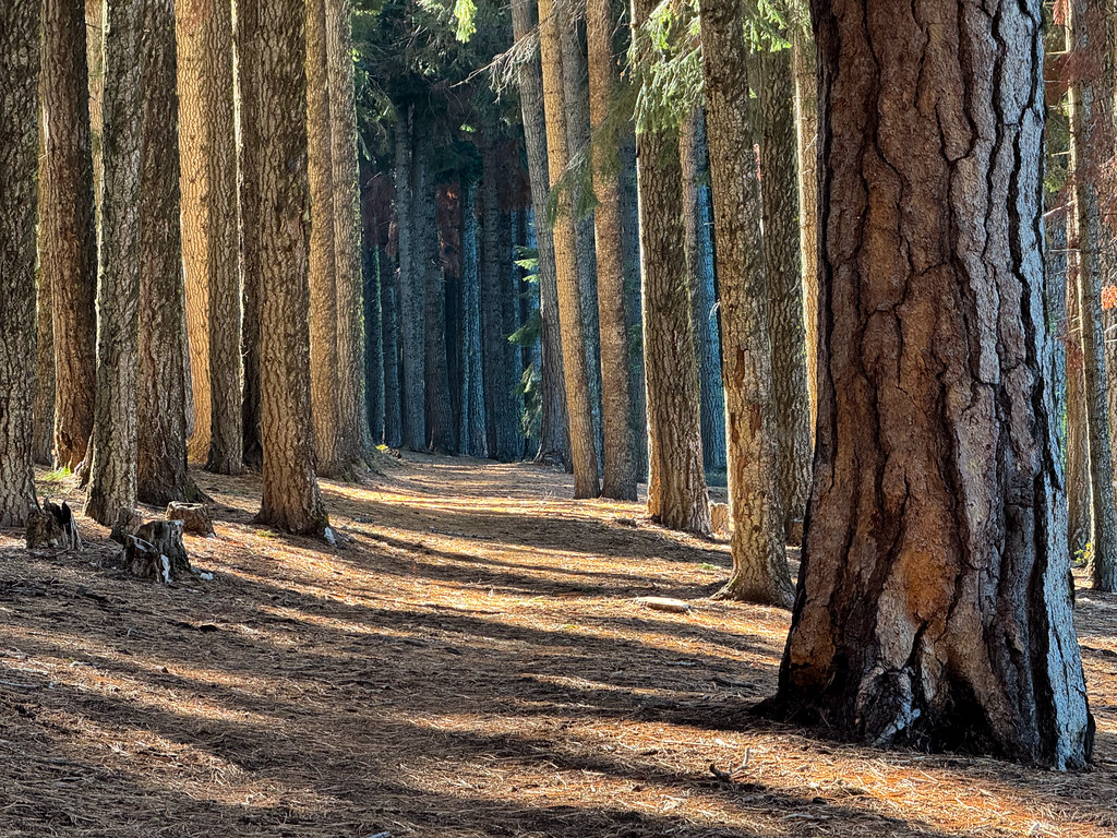 Photo: Holzwerk, CC BY 2.0 (via Flickr)
- 1.2 mi
- round trip
- 79 ft
- climb
- 4,975 ft
- high point
- Out and back
- route
- May–Oct
- best months
Is Billie Creek Nature open right now?
No closures listed
The Forest Service lists no closures for Fremont-Winema National Forest.
As of · Source: USFS · Fremont-Winema National Forest. Agencies don't list every closure — check before you go.
Billie Creek Nature is a short, easy hike in the Klamath Ranger District of Oregon's Fremont-Winema National Forest, about 1.2 miles long and with a total elevation gain of 79 feet. The trail is an out-and-back, and the high point is about 4975 feet, with the low point at about 4956 feet. The steepest stretch comes at about 0.38 miles in, with a grade of about 8 percent. The trail is on natural surface, and horses are allowed. It is not an accessible trail. Summer is the most comfortable time to go. Typical averages from a nearby weather station at Howard Prairie Dam show July and August highs around 79°F with only two or three wet days a month, while winter brings highs in the mid-30s and regular snow days. The hike is open from June 1 to October 31, and the trip takes about half an hour. Aspen Point Campground is just 0.2 miles away, and the Billie Creek Loop is about half a mile off. Fourmile Lake, a cross-country ski area, is also about half a mile away.
Local outfitters
- Sky Lakes Wilderness Adventures22 mi away
- Yamsi Fly Fishing25 mi away
Not on Roamze yet. Their page has how to reach them.
Best time to go · May–Oct
Best time to visit Billie Creek Nature
Best months: May–October. Best months have typical highs of 55–85 °F, lows of 30 °F or warmer (32 °F where the station doesn't record snow), at most one snowy day and no more than 12 wet days.
Jan
36° / 23°
15 wet · 9 snow
Feb
40° / 23°
14 wet · 8 snow
Mar
45° / 26°
16 wet · 8 snow
Apr
50° / 29°
13 wet · 4 snow
May
60° / 36°
11 wet · 1 snow
Jun
68° / 40°
5 wet
Jul
79° / 47°
3 wet
Aug
79° / 46°
2 wet
Sep
72° / 40°
4 wet
Oct
58° / 33°
8 wet · 1 snow
Nov
42° / 28°
13 wet · 5 snow
Dec
35° / 23°
15 wet · 9 snow
Typical high / low (°F) and days with rain or snow, 1991–2020. Measured at Howard Prairie Dam, OR, 13.8 mi away at 4,567 ft. Source: NOAA NCEI U.S. Climate Normals 1991–2020.
Keep exploring — more trails worth the drive
 Photo: Holzwerk, CC BY 2.0 (via Flickr)
FOURMILE LAKE
Next door
11.56-mile out-and-back trail to Fourmile Lake in Oregon with 1,933 ft elevation gain.
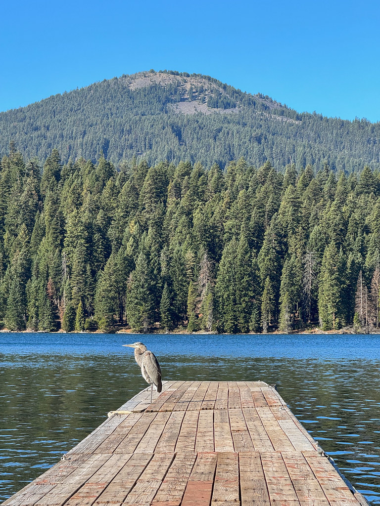 Photo: Holzwerk, CC BY 2.0 (via Flickr)
Brown Mountain North
~1 min drive
4.72-mile out-and-back trail at Brown Mountain North, Oregon with 941 ft elevation gain.
 Photo: james shaw, CC BY-SA 3.0 (via Wikimedia Commons)
FAMILY LOOP BIKE
~1 min drive
1.93-mile loop trail in Oregon with 261 ft elevation gain
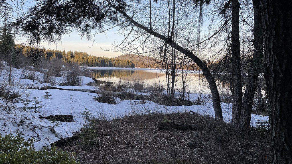 Photo: jfdervin, CC BY-SA 2.0 (via Flickr)
Pct - Oregon Section C
~7 min drive
73.78-mile point-to-point trail in Oregon with 5,925 ft gain.
Photo: Holzwerk, CC BY 2.0 (via Flickr)BILLIE CREEK LOOP
Next door
11.62-mile out-and-back out-and-back in Oregon with 1,770 ft elevation gain
Photo: Holzwerk, CC BY 2.0 (via Flickr)HYATT LAKE
~2 min drive
5.4-mile out-and-back trail to Hyatt Lake in Oregon with 1,319 ft elevation gain.
Photo: Holzwerk, CC BY 2.0 (via Flickr)Rye Loop
~1 min drive
Rye Loop is a 1.40-mile loop in Oregon with 61 ft gain.
 Photo: james shaw, CC BY-SA 3.0 (via Wikimedia Commons)
VARNEY CREEK SNOMO
~2 min drive
11.94-mile out-and-back trail in Oregon with 1,666 ft elevation gain and loss.
 Photo: ex_magician, CC BY 2.0 (via Flickr)
Brown Mountain North Trail #3724
~2 min drive
Short out-and-back hike on Brown Mountain's north slope with Cascade views.
Photo: james shaw, CC BY-SA 3.0 (via Wikimedia Commons)Campground Shorefront Trail
~2 min drive
2.12-mile out-and-back trail in Oregon with 375 ft elevation gain


