Oregon Trail
- 0.5 mi
- round trip
- 62 ft
- climb
- 3,639 ft
- high point
- Out and back
- route
The Oregon Trail is a short, easy hike on Bureau of Land Management land in the Vale Baker Field Office, about 0.46 miles from the start. It's an out-and-back route of about 0.92 miles, with a total climb of 62 feet and a steepest grade of about 4% at roughly 0.35 miles in. The trail starts and ends at nearly the same elevation, around 3,639 feet, with the high point at 3,639 feet and the low point at 3,598 feet. For comfortable weather, aim for late spring or early fall. Typical averages from a nearby weather station in Baker City show May highs around 70°F and September highs around 79°F, while July and August average highs near 88°F. Several other hikes sit close by. Ascent is about 0.3 miles away, NHOTIC Site Trail about 0.4 miles, Flagstaff Loop about 0.5 miles, and Mountain Ash about 0.6 miles.
- AscentHiking0.3 mi
- NHOTIC Site TrailHiking0.4 mi
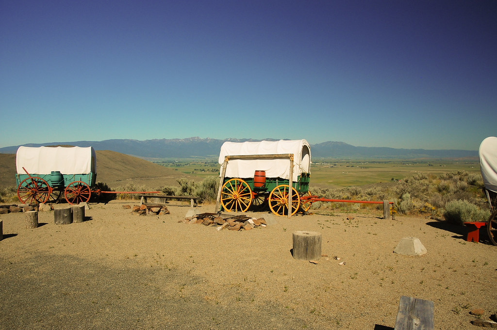 Flagstaff LoopHikingPhoto: ilya_ktsn, CC BY 2.0 (via Flickr)0.5 mi
- Mountain AshHiking0.6 mi
- Auburn-Burnt RiverHiking0.6 mi
- Eagle Valley Rr Grade LoopHiking0.7 mi
- Panorama PointHiking0.8 mi
Source: Roamze catalog (indexable pages within 10 miles, PostGIS distance)
- Flagstaff LoopHiking · Next doorPhoto: ilya_ktsn, CC BY 2.0 (via Flickr)
 North Powder River TrailHiking · ~40 min drivePhoto: U.S. Forest Service- Pacific Northwest Region, Public domain (via Wikimedia Commons)
- Elkhorn Crest National Recreation TrailHiking · ~27 min drive
- Rock Creek Lake TrailHiking · ~34 min drive
 Powder River Recreation Area Paved TrailHiking · ~27 min drivePhoto: Robert Ashworth from Bellingham, WA., USA, CC BY 2.0 (via Wikimedia Commons)
- Oregon TrailHiking · ~5 min drive
- West Eagle TrailHiking · ~39 min drive
- North Fork Catherine Creek TrailHiking · ~42 min drive
- Phillips Lake North Shoreline TrailHiking · ~28 min drivePhoto: Robert Ashworth from Bellingham, WA., USA, CC BY 2.0 (via Wikimedia Commons)
- Velvet Creek TrailHiking · ~30 min drive
Map and trail data © OpenStreetMap contributors
