West Eagle Trail
- 12.2 mi
- round trip
- 5,436 ft
- climb
- 8,480 ft
- high point
- Out and back
- route
Is West Eagle Trail open right now?
Closure in the area
There's a closure order in Wallowa-Whitman National Forest. It doesn't name West Eagle Trail, so check the source for the area it covers.
Anthony Fire Area Closure
Agency closure covering Wallowa-Whitman National Forest · USFS · Wallowa-Whitman National Forest
PHASE B FIRE RESTRICTIONS WALLOW-WHITMAN NATIONAL FOREST
Agency alert covering Wallowa-Whitman National Forest · Order 06-16-00-25-01 · USFS · Wallowa-Whitman National Forest
PHASE A FIRE RESTRICTIONS Wallowa-Whitman NATIONAL FOREST
Agency alert covering Wallowa-Whitman National Forest · Order 06-16-00-25-00 · USFS · Wallowa-Whitman National Forest
As of · Source: USFS · Wallowa-Whitman National Forest. Agencies don't list every closure — check before you go.
West Eagle Trail is a long, steep out-and-back hike in Oregon's Wallowa-Whitman National Forest, within the La Grande Ranger District. It is a Forest Service route, and the trail climbs from about 5,500 feet to 8,480 feet at its high point, with a total round-trip gain of about 5,400 feet. The route is rated expert, and the climb is front-loaded, with the steepest stretch at about 5.6 miles in, where the grade reaches 50 percent. The full round trip runs about 24 miles, and the estimated time is roughly 11 hours. For a shorter outing, Fake Creek Trail starts just 0.2 miles away, and Jim Creek Trail is about 1.4 miles off. Two Color Campground, about 3.6 miles away, and Tamarack Campground, about 4.6 miles away, are both good places to camp.
Local outfitters
- Oregon Backcountry Outfitting22 mi away
- Cornucopia Lodge & Packstation23 mi away
Not on Roamze yet. Their page has how to reach them.
Keep exploring — more trails worth the drive
 Photo: U.S. Forest Service- Pacific Northwest Region, Public domain (via Wikimedia Commons)
Looking-Glass Lake Trail
~10 min drive
4.62-mile out-and-back hike to Looking-Glass Lake in Oregon with 2,264 ft gain
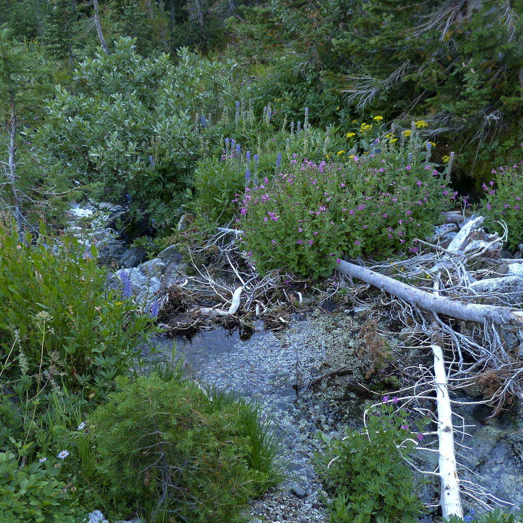 Photo: Flyover Hangover, CC BY-SA 2.0 (via Flickr)
Frazier Pass Trail
~15 min drive
5.24-mile out-and-back trail in Oregon with 2,679 ft elevation gain and loss.
 Photo: Michael Renfrow, CC BY-SA 2.0 (via Flickr)
East Eagle Trail
~18 min drive
22.9-mile out-and-back trail in Oregon with 6,030 ft gain and 8,362 ft max elevation.
HIKE
West Eagle Trail
Next door
0.68-mile out-and-back hike in Oregon with 103 ft elevation gain
Photo: U.S. Forest Service- Pacific Northwest Region, Public domain (via Wikimedia Commons)Eagle Lake Trail
~11 min drive
1.86-mile out-and-back to Eagle Lake at 7,445 ft in Oregon
 Photo: Flyover Hangover, CC BY-SA 2.0 (via Flickr)
Glacier Lake Trail
~19 min drive
8.74-mile out-and-back hike in Oregon with 4,085 ft elevation gain
HIKE
Fake Creek Trail
Next door
10.48-mile out-and-back trail in Oregon with 5,533 ft elevation gain
HIKE
Velvet Creek Trail
~4 min drive
1.46-mile out-and-back trail in Oregon with 393 ft elevation gain
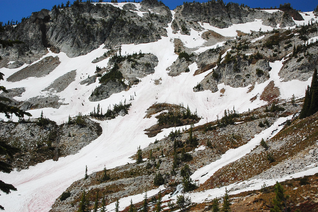 Photo: ilya_ktsn, CC BY 2.0 (via Flickr)
Eagle Cap Summit Trail
~17 min drive
2.76-mile out-and-back hike to Eagle Cap Summit with 2,065 ft elevation gain
 Photo: U.S. Forest Service- Pacific Northwest Region, Public domain (via Wikimedia Commons)
Bench Canyon Trail
~8 min drive
5.48-mile out-and-back trail in Oregon with 3,043 ft elevation gain.

Map and trail data © OpenStreetMap contributors
