Loading…

Free — you'll pick up right here.
Watch this trail
Sign up to watch it — saving subscribes you to gate, closure and report changes.
Oregon
0.7 mi
Distance
472 ft
Gain
16 min
Time
No agency boundary, access route or field report is mapped to it — so there is no verdict, and we won't guess. We'll tell you the moment this trail has something to say.
Covered nearby
Trails within 25 miles where we do have a current picture.
Nobody's filed a report here yet — be the first.
Why you'll love it
Ascent
AI-suggested draft · review before you go
No permit or access details on file for this trail — check with the local land manager before you go.
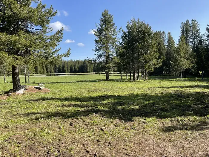
Ascent is an out-and-back trail in Oregon that lives up to its name with steady elevation gain rewarding hikers with expanded vistas. This trail offers a straightforward route that retraces the same path on descent, making navigation simple while allowing hikers to focus on the climbing experience and surrounding landscape.
Flagstaff Loop
~0 min drive
Out-and-back trail with scenic views and accessible hiking.
W
~1h 4m drive
Moderate 9.74-mile Idaho hike with 2,339 ft elevation gain.
Benton Creek
~1h 6m drive
A 5.31-mile out-and-back trail in Idaho that links to the Sturgill Creek trail system.
Auburn-Burnt River
~1 min drive
Eastern Oregon out-and-back following the Burnt River through Blue Mountain terrain.
Cottonwood Creek
~1h 6m drive
Moderate 6.25-mile creek-side hike with 1,948 ft elevation gain.
Bear Saddle
~1h 7m drive
Moderate 5.2-mile climb to a scenic mountain saddle with excellent ridge views.
Eagle Valley Rr Grade Loop
~1 min drive
Historic railroad grade loop through scenic Eagle Valley.
Porcupine Creek
~1h 6m drive
Moderate 11-mile creek-side trail through Idaho backcountry forest.
Phillips Lake North Shoreline Trail
~28 min drive
Scenic out-and-back shoreline walk along Phillips Lake's north shore.
E
~1h 7m drive
Moderate 7.73-mile Idaho trail with steady elevation gain and scenic views.