Phillips Lake North Shoreline Trail
 Photo: Robert Ashworth from Bellingham, WA., USA, CC BY 2.0 (via Wikimedia Commons)
- 6.6 mi
- round trip
- 1,068 ft
- climb
- 4,132 ft
- high point
- Out and back
- route
- May–Jun, Sep
- best months
Is Phillips Lake North Shoreline Trail open right now?
Closure in the area
There's a closure order in Whitman Ranger District. It doesn't name Phillips Lake North Shoreline Trail, so check the source for the area it covers (4 listed).
McCully Fire Closure
Agency closure covering Whitman Ranger District · Order 06-16-01-26-14 · USFS · Whitman Ranger District
Anthony Fire Area Closure
Agency closure covering Whitman Ranger District · Order 06-16-01-26-09 · USFS · Whitman Ranger District
Salmon and Olive Butte Fire Area Closure
Agency closure covering Whitman Ranger District · Order 06-16-01-26-06 · USFS · Whitman Ranger District
Anthony Fire Area Closure
Agency closure covering Wallowa-Whitman National Forest · USFS · Wallowa-Whitman National Forest
PHASE B FIRE RESTRICTIONS WALLOW-WHITMAN NATIONAL FOREST
Agency alert covering Wallowa-Whitman National Forest · Order 06-16-00-25-01 · USFS · Wallowa-Whitman National Forest
As of · Source: USFS · Whitman Ranger District. Agencies don't list every closure — check before you go.
Phillips Lake North Shoreline Trail is an easy out-and-back hike in the Whitman Ranger District of the Wallowa-Whitman National Forest in northeastern Oregon. The trail is about 13 miles long, with a total elevation gain of about 150 feet, and it starts at roughly 4,112 feet, rising to a high point of about 4,132 feet before returning to the starting level. The route is a straightforward walk along the north shore of Phillips Lake. The steepest stretch comes early on, around 0.6 miles from the start, where the grade reaches about 10 percent. The rest of the trail is gentle, making it a comfortable option for a day on foot. Summer is the most comfortable time to go. Typical averages from a nearby weather station in Baker City show July and August highs around 88°F with only three or four wet days a month, while winter highs stay in the upper 30s. Several other trails sit close by. Coyote Cove Trail is about 0.6 miles away, and the Powder River Recreation Area Paved Trail is about 0.9 miles away. Union Creek Campground, about 1.6 miles off, offers a place to camp. Paddlers can reach the Powder River, about 9 miles away.
Local outfitters
- Cornucopia Lodge & Packstation46 mi away
Not on Roamze yet. Their page has how to reach them.
Best time to go · May–Jun, Sep
Best time to visit Phillips Lake North Shoreline Trail
Best months: May–June and September. Best months have typical highs of 55–85 °F, lows of 30 °F or warmer (32 °F where the station doesn't record snow), at most one snowy day and no more than 12 wet days.
Jan
38° / 20°
10 wet
Feb
44° / 23°
9 wet
Mar
54° / 28°
10 wet
Apr
61° / 31°
10 wet
May
70° / 39°
10 wet
Jun
77° / 44°
8 wet
Jul
88° / 49°
4 wet
Aug
88° / 47°
3 wet
Sep
79° / 39°
4 wet
Oct
64° / 30°
6 wet
Nov
48° / 25°
9 wet
Dec
37° / 20°
10 wet
Typical high / low (°F) and days with rain or snow, 1991–2020. Measured at Baker City Muni Ap, OR, 15 mi away at 3,361 ft. The station sits about 800 ft lower than this place, so expect it a little cooler here. This station doesn't record snowfall. Source: NOAA NCEI U.S. Climate Normals 1991–2020.
Keep exploring — more trails worth the drive
Photo: Robert Ashworth from Bellingham, WA., USA, CC BY 2.0 (via Wikimedia Commons)Coyote Cove Trail
~1 min drive
0.31-mile out-and-back hike to Coyote Cove with 137 ft of elevation gain.
 Photo: U.S. Forest Service- Pacific Northwest Region, Public domain (via Wikimedia Commons)
North Powder River Trail
~30 min drive
5.0-mile out-and-back hike in Oregon with 1,959 ft elevation gain and loss.
 Photo: U.S. Forest Service- Pacific Northwest Region, Public domain (via Wikimedia Commons)
Dutch Flat Creek Trail
~35 min drive
8.22-mile out-and-back trail in Oregon with 3,544 ft elevation loss.
HIKE
Rock Creek Lake Trail
~23 min drive
6.8-mile out-and-back trail in Oregon with 3,517 ft gain/loss.
Photo: Robert Ashworth from Bellingham, WA., USA, CC BY 2.0 (via Wikimedia Commons)Powder River Recreation Area Paved Trail
~2 min drive
1.18-mile out-and-back trail in Oregon with 114 ft elevation gain and loss.
Photo: U.S. Forest Service- Pacific Northwest Region, Public domain (via Wikimedia Commons)Lost Lake Trail
~34 min drive
5.94-mile out-and-back hike in Oregon with 1,723 ft gain/loss.
HIKE
Elkhorn Crest National Recreation Trail
~12 min drive
22.81-mile point-to-point trail in Oregon with 2,752 ft gain.
HIKE
Twin Lakes Trail
~17 min drive
4.91-mile point-to-point trail in Oregon with 1,010 ft gain and 3,840 ft loss.
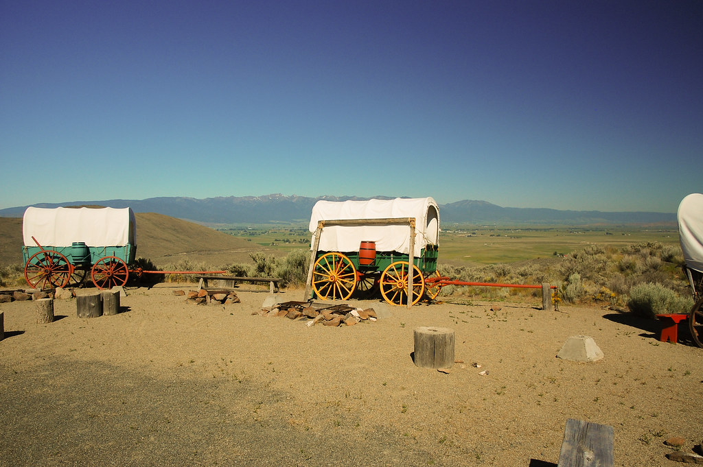 Photo: ilya_ktsn, CC BY 2.0 (via Flickr)
Flagstaff Loop
~28 min drive
0.49-mile out-and-back trail in Oregon with 135 ft elevation gain.
 Photo: Brent, CC BY 2.0 (via Wikimedia Commons)
Lakes Lookout Trail
~38 min drive
1.36-mile out-and-back trail in Oregon with 944 ft elevation gain and loss.

Map and trail data © OpenStreetMap contributors
