Eagle Valley Rr Grade Loop
- 0.7 mi
- loop
- 109 ft
- climb
- 3,616 ft
- high point
- Loop
- route
- May–Jun, Sep
- best months
Eagle Valley Rr Grade Loop is a short, easy hike on Bureau of Land Management land in Oregon's Vale Baker Field Office, about 0.7 miles long and roughly 110 feet of elevation gain. The route starts at about 3,566 feet and reaches a high point of 3,616 feet before descending to a low of 3,484 feet, with the steepest stretch at about 0.57 miles in. Summer is the most comfortable time to go. Typical averages from a nearby weather station in Baker City show July and August highs around 88°F with only three or four wet days a month, while winter highs stay in the upper 30s. The hike takes about half an hour. It sits close to several other trails, including Auburn-Burnt River and Mountain Ash, each about 0.1 mile away, and Panorama Point at 0.3 mile. The Oregon Trail is about 0.7 mile off.
Local outfitters
- Cornucopia Lodge & Packstation31 mi away
- Oregon Backcountry Outfitting45 mi away
Not on Roamze yet. Their page has how to reach them.
- Auburn-Burnt RiverHiking0.1 mi
- Mountain AshHiking0.1 mi
- Panorama PointHiking0.3 mi
- AscentHiking0.6 mi
- NHOTIC Site TrailHiking0.6 mi
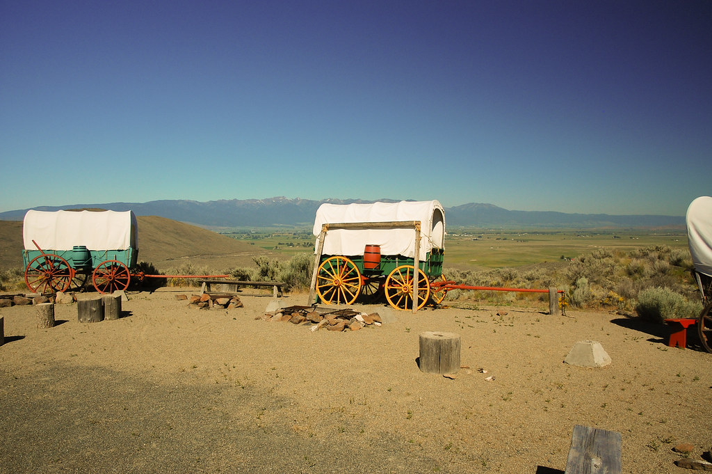 Flagstaff LoopHikingPhoto: ilya_ktsn, CC BY 2.0 (via Flickr)0.6 mi
- Oregon TrailHiking0.7 mi
Source: Roamze catalog (indexable pages within 10 miles, PostGIS distance)
- Flagstaff LoopHiking · ~1 min drivePhoto: ilya_ktsn, CC BY 2.0 (via Flickr)
 North Powder River TrailHiking · ~39 min drivePhoto: U.S. Forest Service- Pacific Northwest Region, Public domain (via Wikimedia Commons)
- Elkhorn Crest National Recreation TrailHiking · ~26 min drive
- Rock Creek Lake TrailHiking · ~33 min drive
 Powder River Recreation Area Paved TrailHiking · ~27 min drivePhoto: Robert Ashworth from Bellingham, WA., USA, CC BY 2.0 (via Wikimedia Commons)
- Oregon TrailHiking · ~6 min drive
- West Eagle TrailHiking · ~39 min drive
- North Fork Catherine Creek TrailHiking · ~41 min drive
- Phillips Lake North Shoreline TrailHiking · ~28 min drivePhoto: Robert Ashworth from Bellingham, WA., USA, CC BY 2.0 (via Wikimedia Commons)
- Velvet Creek TrailHiking · ~30 min drive
Best time to visit Eagle Valley Rr Grade Loop
Best months: May–June and September. Best months have typical highs of 55–85 °F, lows of 30 °F or warmer (32 °F where the station doesn't record snow), at most one snowy day and no more than 12 wet days.
Jan
38° / 20°
10 wet
Feb
44° / 23°
9 wet
Mar
54° / 28°
10 wet
Apr
61° / 31°
10 wet
May
70° / 39°
10 wet
Jun
77° / 44°
8 wet
Jul
88° / 49°
4 wet
Aug
88° / 47°
3 wet
Sep
79° / 39°
4 wet
Oct
64° / 30°
6 wet
Nov
48° / 25°
9 wet
Dec
37° / 20°
10 wet
Typical high / low (°F) and days with rain or snow, 1991–2020. Measured at Baker City Muni Ap, OR, 3.8 mi away at 3,361 ft. This station doesn't record snowfall. Source: NOAA NCEI U.S. Climate Normals 1991–2020.
