Oredsen-Todd Woods Trail
- 0.4 mi
- round trip
- 323 ft
- climb
- 2,487 ft
- high point
- Out and back
- route
- May–Jun, Sep–Oct
- best months
Oredsen-Todd Woods Trail is a short, easy hike in Siskiyou Mtn Park, on city land in Oregon. The trail is about 0.44 miles long, and the round trip adds up to roughly 0.88 miles with a total climb of about 323 feet. The route is an out-and-back, and the steepest stretch comes early on, around 0.26 miles in, with a grade of about 11 percent. Late spring and early fall are the most comfortable times to go. Typical averages from a nearby weather station in Ashland show May highs around 71°F and September highs around 81°F, while July and August average in the upper 80s. That station sits well below the trail, so temperatures on the higher ground run cooler. White Rabbit is just 0.2 miles away, and Talent Irrigation Path and Caterpillar are both within about a mile. For an overnight stay, Mt Ashland campground is about 6.5 miles off.
Local outfitters
- Momentum River Expeditions3 mi away
- Ashland Family YMCA3 mi away
Not on Roamze yet. Their page has how to reach them.
Best time to go · May–Jun, Sep–Oct
Best time to visit Oredsen-Todd Woods Trail
Best months: May–June and September–October. Best months have typical highs of 55–85 °F, lows of 30 °F or warmer (32 °F where the station doesn't record snow), at most one snowy day and no more than 12 wet days.
Jan
49° / 30°
14 wet
Feb
54° / 30°
12 wet
Mar
58° / 32°
14 wet
Apr
63° / 35°
13 wet
May
71° / 41°
10 wet
Jun
79° / 46°
5 wet
Jul
88° / 51°
2 wet
Aug
87° / 49°
2 wet
Sep
81° / 43°
4 wet
Oct
68° / 36°
8 wet
Nov
54° / 33°
14 wet
Dec
47° / 29°
15 wet
Typical high / low (°F) and days with rain or snow, 1991–2020. Measured at Ashland, OR, 3.6 mi away at 1,729 ft. The station sits about 800 ft lower than this place, so expect it a little cooler here. This station doesn't record snowfall. Source: NOAA NCEI U.S. Climate Normals 1991–2020.
Keep exploring — more trails worth the drive
 Photo: kallahar, CC BY 3.0 (via Wikimedia Commons)
White Rabbit (Ped and Uphill Bike)
~2 min drive
0.30-mile out-and-back trail in Oregon with 254 ft elevation gain.
Photo: kallahar, CC BY 3.0 (via Wikimedia Commons)Wonder
~4 min drive
3-mile loop trail in Oregon with 533 ft gain and 957 ft loss.
HIKE
Catwalk
~2 min drive
2.34-mile out-and-back trail in Oregon with 1,589 ft gain.
 Photo: U.S. Forest Service- Pacific Northwest Region, Public domain (via Wikimedia Commons)
Gyre
~2 min drive
1.74-mile out-and-back trail in Oregon with 415 ft elevation gain.
 Photo: kallahar, CC BY 3.0 (via Wikimedia Commons)
Lower Wonder
~4 min drive
3.10-mile out-and-back trail in Oregon with 1,591 ft elevation gain.
HIKE
Bull Gap
~6 min drive
10.20-mile out-and-back trail in Oregon with 2,337 ft elevation gain.
 Photo: Holzwerk, CC BY 2.0 (via Flickr)
Alice in Wonderland
~2 min drive
0.33-mile out-and-back trail in Oregon with 93 ft of elevation gain.
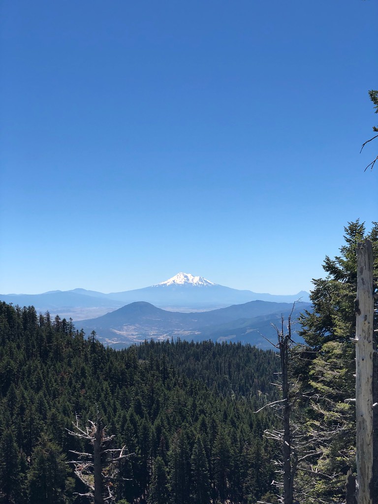 Photo: zappowbang, CC BY-SA 2.0 (via Flickr)
Summit
~10 min drive
1.68-mile out-and-back trail in Oregon with 1,185 ft gain
HIKE
Horn Gap
~11 min drive
14.40-mile out-and-back trail in Oregon with 2,042 ft gain.
Photo: Holzwerk, CC BY 2.0 (via Flickr)Jabberwocky
~2 min drive
2.62-mile out-and-back trail in Oregon with 1,028 ft gain

Map and trail data © OpenStreetMap contributors
