North Umpqua Trail
- 11.0 mi
- round trip
- 2,444 ft
- climb
- 6,221 ft
- high point
- Out and back
- route
- Jun–Aug
- best months
Is North Umpqua Trail open right now?
Alert in the area
The Forest Service lists 6 alerts for Umpqua National Forest.
Tuttle Creek Road Closure
Agency alert covering Umpqua National Forest · USFS · Umpqua National Forest
Fall Prescribed Burning
Agency alert covering Diamond Lake Ranger District · USFS · Diamond Lake Ranger District
Fall Prescribed Burning
Agency alert covering Umpqua National Forest · USFS · Umpqua National Forest
Poole Creek Campground Closed for the 2026 Season
Agency alert covering Umpqua National Forest · USFS · Umpqua National Forest
National Forest Service Road 28 Roadwork
Agency alert covering Umpqua National Forest · USFS · Umpqua National Forest
As of · Source: USFS · Umpqua National Forest. Agencies don't list every closure — check before you go.
The North Umpqua Trail is a Forest Service hike of about 11 miles in the Diamond Lake Ranger District of Oregon's Umpqua National Forest. The route is an out-and-back that climbs from about 4,250 feet to a high point of about 6,221 feet, with a total gain of roughly 2,440 feet. The climb is front-loaded, and the steepest stretch comes around mile 6.3 at about 15% grade. Late summer into early fall is the most comfortable time to go. Typical averages from the nearby Chemult weather station show September highs around 75°F with lows near 30°F and only about three wet days. That station sits well below the trail, so temperatures up high run cooler. Tolo Creek and North Umpqua both start within a tenth of a mile. Farther out, Tenas Peak and Windigo Pass are each about 2 miles away, and Kelsay Valley Horse Camp offers camping about 2.3 miles off.
Local outfitters
- Diamond Lake Resort12 mi away
- Shelter Cove Resort & Marina19 mi away
Not on Roamze yet. Their page has how to reach them.
- Tolo CreekHiking0.1 mi
- North UmpquaHiking0.1 mi
- Tenas PeakHiking2.2 mi
- Windigo PassHiking2.3 mi
- Kelsay Valley Horse CampCamping2.3 mi
- Kelsay Valley Forest CampCamping2.9 mi
- Inlet Campground (H)Camping5 mi
 Inlet CampgroundCampingPhoto: Recreation.gov (RIDB) / public domain5 mi
Source: Roamze catalog (indexable pages within 10 miles, PostGIS distance)
 Maidu Loop TrailHiking · ~7 min drivePhoto: Forest Service Pacific Northwest Region, Public Domain Mark (via Flickr)
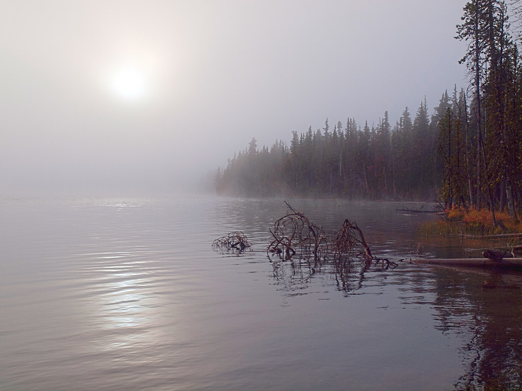 Maidu Lake TrailHiking · ~14 min drivePhoto: opiebreath, CC BY 2.0 (via Flickr)
- Windigo PassHiking · ~4 min drive
- Waterbag Way TrailHiking · ~8 min drive
- Miller Lake TrailHiking · ~11 min drivePhoto: opiebreath, CC BY 2.0 (via Flickr)
- North UmpquaHiking · Next door
- North Umpqua Trail: LemloHiking · ~5 min drive
- ELEPHANT MTN. LOOP WINTERHiking · ~12 min drive
- MILLER LAKEHiking · ~14 min drivePhoto: opiebreath, CC BY 2.0 (via Flickr)
- Tenas PeakHiking · ~4 min drive
Best time to visit North Umpqua Trail
Best months: June–August. Best months have typical highs of 55–85 °F, lows of 30 °F or warmer (32 °F where the station doesn't record snow), at most one snowy day and no more than 12 wet days.
Jan
37° / 15°
13 wet
Feb
41° / 17°
11 wet
Mar
47° / 21°
11 wet
Apr
53° / 24°
10 wet
May
63° / 30°
9 wet
Jun
72° / 34°
5 wet
Jul
83° / 39°
3 wet
Aug
82° / 37°
2 wet
Sep
75° / 30°
3 wet
Oct
61° / 24°
7 wet
Nov
44° / 21°
12 wet
Dec
36° / 15°
14 wet
Typical high / low (°F) and days with rain or snow, 1991–2020. Measured at Chemult, OR, 14.4 mi away at 4,760 ft. The station sits about 1,500 ft lower than this place, so expect it a little cooler here. This station doesn't record snowfall. Source: NOAA NCEI U.S. Climate Normals 1991–2020.
Closures we've recorded since August 2026
North Umpqua Trail Temporary Closure
Umpqua National Forest · Order dated September 28, 2026; seen Sep 28, 2026 → lifted Oct 7, 2026 · Forest Service
North Umpqua River Safety
Umpqua National Forest · Order dated September 3, 2026; seen Sep 3, 2026 → lifted Sep 14, 2026 · Forest Service

Map and trail data © OpenStreetMap contributors
