Miller Lake
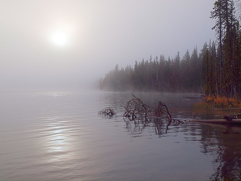 Photo: opiebreath, CC BY 2.0 (via Flickr)
- 2.4 mi
- round trip
- 862 ft
- climb
- 5,753 ft
- high point
- Out and back
- route
- Jun–Aug
- best months
Is MILLER LAKE open right now?
No closures listed
The Forest Service lists no closures for Fremont-Winema National Forest.
As of · Source: USFS · Fremont-Winema National Forest. Agencies don't list every closure — check before you go.
Miller Lake is an easy out-and-back hike in the Chemult Ranger District of Oregon's Fremont-Winema National Forest, managed by the Forest Service. The trail is about 4.8 miles long, with a total elevation gain of 862 feet, and it starts at roughly 5,667 feet, reaching a high point of about 5,753 feet before returning to the trailhead. The most comfortable months for a visit are typically June through September, when typical averages from the nearby Chemult weather station run from highs around 72°F in June to about 83°F in July, with only a few wet days a month. That station sits nearly 1,000 feet lower than the trail, so temperatures on the route run cooler. The hike takes about two hours to complete. The Maidu Lake Trail starts just 0.1 mile away, and Digit Point Campground is about 1.2 miles off. The Miller Lake Trail and the Deer Butte Overlook are both within about 4 miles.
Local outfitters
- Diamond Lake Resort11 mi away
- Shelter Cove Resort & Marina25 mi away
Not on Roamze yet. Their page has how to reach them.
- Maidu Lake TrailHikingPhoto: opiebreath, CC BY 2.0 (via Flickr)0.1 mi
- Digit Point CampgroundCamping1.2 mi
- Miller Lake TrailHikingPhoto: opiebreath, CC BY 2.0 (via Flickr)1.3 mi
- MILLER LAKE RUNHiking3.6 mi
- DEER BUTTE OVERLOOKHiking4 mi
- Howlock Mountain TrailHiking5.4 mi
- Tipsoo Peak TrailHiking6.1 mi
- Corral Springs CampgroundCamping6.7 mi
Source: Roamze catalog (indexable pages within 10 miles, PostGIS distance)
- Miller Lake TrailHiking · ~2 min drivePhoto: opiebreath, CC BY 2.0 (via Flickr)
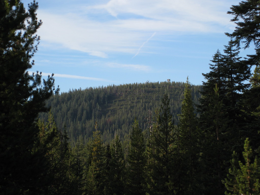 Thielsen CreekHiking · ~13 min drivePhoto: brewbooks, CC BY-SA 2.0 (via Flickr)
- Howlock Mtn.Hiking · ~13 min drivePhoto: brewbooks, CC BY-SA 2.0 (via Flickr)
 Maidu Loop TrailHiking · ~6 min drivePhoto: Forest Service Pacific Northwest Region, Public Domain Mark (via Flickr)
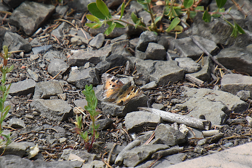 Spruce RidgeHiking · ~15 min drivePhoto: Don Henise, CC BY 2.0 (via Flickr)
 Mt. ThielsenHiking · ~14 min drivePhoto: U.S. Forest Service- Pacific Northwest Region, Public domain (via Wikimedia Commons)
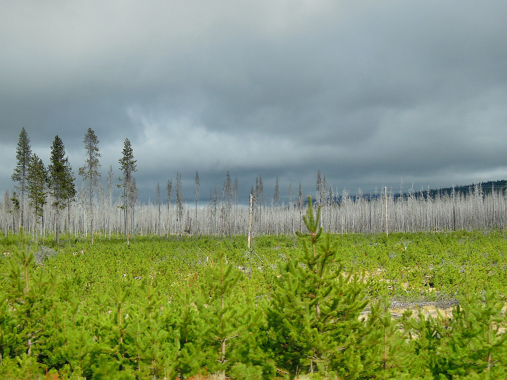 TWINKLE LOOPHiking · ~13 min drivePhoto: Juhele_CZ, Public Domain Dedication (CC0) (via Flickr)
- Maidu Lake TrailHiking · Next doorPhoto: opiebreath, CC BY 2.0 (via Flickr)
- Howlock Mountain TrailHiking · ~15 min drivePhoto: Don Henise, CC BY 2.0 (via Flickr)
- OUTER RUNNER LOOPHiking · ~13 min drivePhoto: Juhele_CZ, Public Domain Dedication (CC0) (via Flickr)
Also worth it near here
 Pacific Crest Nst - UmpMountain biking · ~9 min drivePhoto: inkknife_2000 (7.5 million views +), CC BY-SA 2.0 (via Wikimedia Commons)
- Thielsen Creek Xc-SkiCross-country skiing · ~12 min drive
 Mount ThielsenSummit · ~13 min drivePhoto: W.E. Scott, USGS, Public domain (via Wikimedia Commons)
- North End Boat RampBoat launch · ~17 min drive
Best time to visit MILLER LAKE
Best months: June–August. Best months have typical highs of 55–85 °F, lows of 30 °F or warmer (32 °F where the station doesn't record snow), at most one snowy day and no more than 12 wet days.
Jan
37° / 15°
13 wet
Feb
41° / 17°
11 wet
Mar
47° / 21°
11 wet
Apr
53° / 24°
10 wet
May
63° / 30°
9 wet
Jun
72° / 34°
5 wet
Jul
83° / 39°
3 wet
Aug
82° / 37°
2 wet
Sep
75° / 30°
3 wet
Oct
61° / 24°
7 wet
Nov
44° / 21°
12 wet
Dec
36° / 15°
14 wet
Typical high / low (°F) and days with rain or snow, 1991–2020. Measured at Chemult, OR, 7.9 mi away at 4,760 ft. The station sits about 1,000 ft lower than this place, so expect it a little cooler here. This station doesn't record snowfall. Source: NOAA NCEI U.S. Climate Normals 1991–2020.
