Twinkle Loop
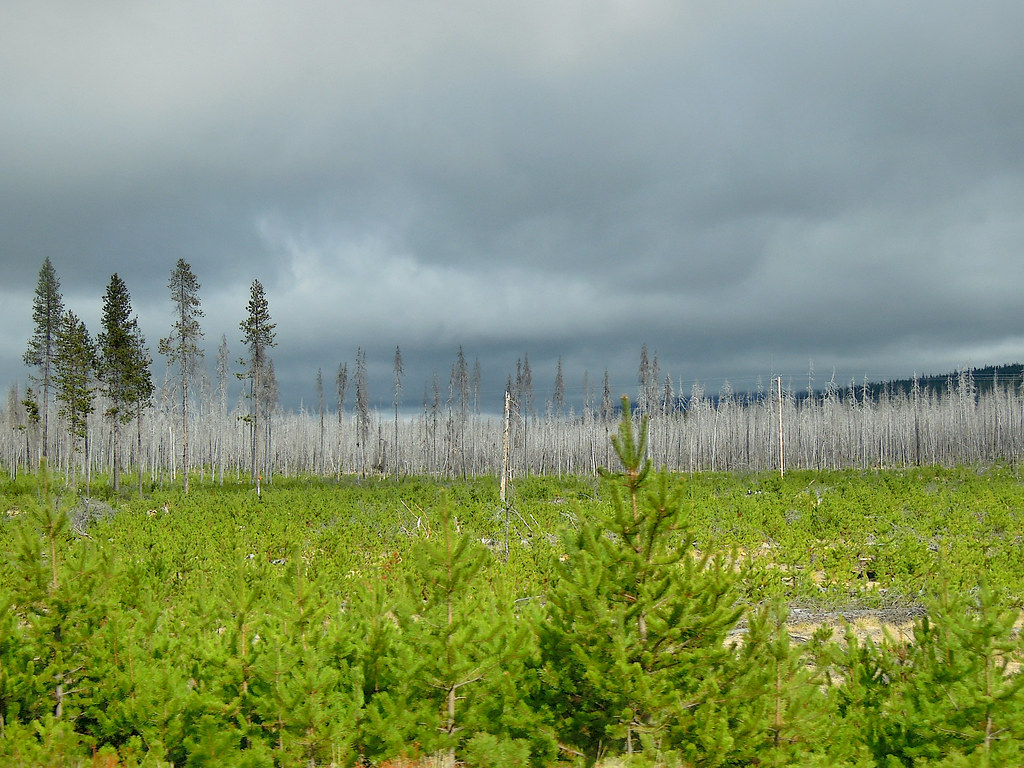 Photo: Juhele_CZ, Public Domain Dedication (CC0) (via Flickr)
- 1.8 mi
- loop
- 73 ft
- climb
- 4,814 ft
- high point
- Loop
- route
- Jun–Aug
- best months
Is TWINKLE LOOP open right now?
No closures listed
The Forest Service lists no closures for Fremont-Winema National Forest.
As of · Source: USFS · Fremont-Winema National Forest. Agencies don't list every closure — check before you go.
Twinkle Loop is an easy hike of about 1.8 miles in the Chemult Ranger District of the Fremont-Winema National Forest in southern Oregon, managed by the Forest Service. The trail starts at about 4,814 feet and reaches a high point of 4,814 feet, with a total climb of 73 feet and a total descent of 117 feet. The steepest stretch comes early, at about 0.14 miles in, with a grade of about 3%. Summer is the most comfortable time to go. Typical averages from the nearby Chemult weather station show July highs around 83°F with lows near 39°F and only about three wet days, while winter brings highs in the mid-30s and rain on roughly 13 days a month. Several other loops sit close by. Play Loop is about 0.1 mile away and Outer Runner Loop about 0.2 mile. Runner Loop, a cross-country ski route, is about 0.3 mile off. For an overnight stay, Corral Springs Campground is about 1.9 miles away.
Local outfitters
- Diamond Lake Resort18 mi away
- Shelter Cove Resort & Marina27 mi away
Not on Roamze yet. Their page has how to reach them.
Best time to go · Jun–Aug
Best time to visit TWINKLE LOOP
Best months: June–August. Best months have typical highs of 55–85 °F, lows of 30 °F or warmer (32 °F where the station doesn't record snow), at most one snowy day and no more than 12 wet days.
Jan
37° / 15°
13 wet
Feb
41° / 17°
11 wet
Mar
47° / 21°
11 wet
Apr
53° / 24°
10 wet
May
63° / 30°
9 wet
Jun
72° / 34°
5 wet
Jul
83° / 39°
3 wet
Aug
82° / 37°
2 wet
Sep
75° / 30°
3 wet
Oct
61° / 24°
7 wet
Nov
44° / 21°
12 wet
Dec
36° / 15°
14 wet
Typical high / low (°F) and days with rain or snow, 1991–2020. Measured at Chemult, OR, 0.6 mi away at 4,760 ft. This station doesn't record snowfall. Source: NOAA NCEI U.S. Climate Normals 1991–2020.
Keep exploring — more trails worth the drive
Photo: Juhele_CZ, Public Domain Dedication (CC0) (via Flickr)PLAY LOOP
Next door
9.9-mile out-and-back trail in Oregon with 546 ft gain/loss.
Photo: Juhele_CZ, Public Domain Dedication (CC0) (via Flickr)OUTER RUNNER LOOP
Next door
0.90-mile loop in Oregon with 100 ft elevation gain
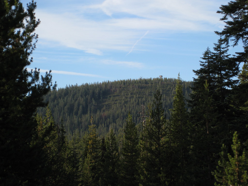 Photo: brewbooks, CC BY-SA 2.0 (via Flickr)
Howlock Mtn.
~25 min drive
6.60-mile out-and-back trail in Oregon with 1,641 ft elevation gain.
HIKE
Waterbag Way Trail
~26 min drive
8.68-mile out-and-back trail in Oregon with 2,387 ft elevation gain and loss.
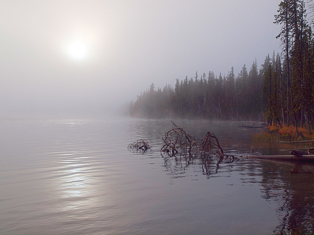 Photo: opiebreath, CC BY 2.0 (via Flickr)
Maidu Lake Trail
~12 min drive
5.60-mile out-and-back hike at Maidu Lake Trail in Oregon with 904 ft elevation gain.
Photo: Juhele_CZ, Public Domain Dedication (CC0) (via Flickr)RUNNER LOOP
Next door
0.89-mile loop with 80 ft gain and 87 ft loss in Oregon
 Photo: U.S. Forest Service- Pacific Northwest Region, Public domain (via Wikimedia Commons)
Mt. Thielsen
~26 min drive
1.80-mile out-and-back trail to Mt. Thielsen with 1,774 ft elevation gain in Oregon.
 Photo: Don Henise, CC BY 2.0 (via Flickr)
Spruce Ridge
~28 min drive
5.50-mile out-and-back trail in Oregon with 707 ft gain
Photo: Juhele_CZ, Public Domain Dedication (CC0) (via Flickr)PINE KNOB LOOP
~1 min drive
1.12-mile out-and-back out-and-back in Oregon with 121 ft elevation gain.
Photo: Don Henise, CC BY 2.0 (via Flickr)Howlock Mountain Trail
~27 min drive
6.16-mile out-and-back hike in Oregon with 853 ft gain/loss, max 6,031 ft

