Mt. Thielsen
 Photo: U.S. Forest Service- Pacific Northwest Region, Public domain (via Wikimedia Commons)
- 1.8 mi
- round trip
- 1,893 ft
- climb
- 9,139 ft
- high point
- Out and back
- route
Is Mt. Thielsen open right now?
Alert in the area
The Forest Service lists 5 alerts for Diamond Lake Ranger District.
Fall Prescribed Burning
Agency alert covering Diamond Lake Ranger District · USFS · Diamond Lake Ranger District
Fall Prescribed Burning
Agency alert covering Umpqua National Forest · USFS · Umpqua National Forest
Poole Creek Campground Closed for the 2026 Season
Agency alert covering Umpqua National Forest · USFS · Umpqua National Forest
National Forest Service Road 28 Roadwork
Agency alert covering Umpqua National Forest · USFS · Umpqua National Forest
Blue-Green Algae Precaution for Diamond and Lemolo Lakes
Agency alert covering Umpqua National Forest · USFS · Umpqua National Forest
As of · Source: USFS · Diamond Lake Ranger District. Agencies don't list every closure — check before you go.
Mt. Thielsen is a hard hike in the Mount Thielsen Wilderness, part of the Diamond Lake Ranger District of the Umpqua National Forest in Oregon. The Forest Service manages the land, and the trail is not accessible. The route is an out-and-back of about 1.8 miles, with a total climb of roughly 1,893 feet. The climb is front-loaded, and the steepest stretch comes at about 0.69 miles in, with a grade of about 54%. The trail starts at a low point of about 7,324 feet and reaches a high point of about 9,139 feet. Several other hikes lie within a few miles, including Thielsen Creek, Howlock Mtn. and Mount Thielsen Trail. Diamond Lake campground is about 2.6 miles away.
Local outfitters
- Diamond Lake Resort3 mi away
- Shelter Cove Resort & Marina30 mi away
Not on Roamze yet. Their page has how to reach them.
Keep exploring — more trails worth the drive
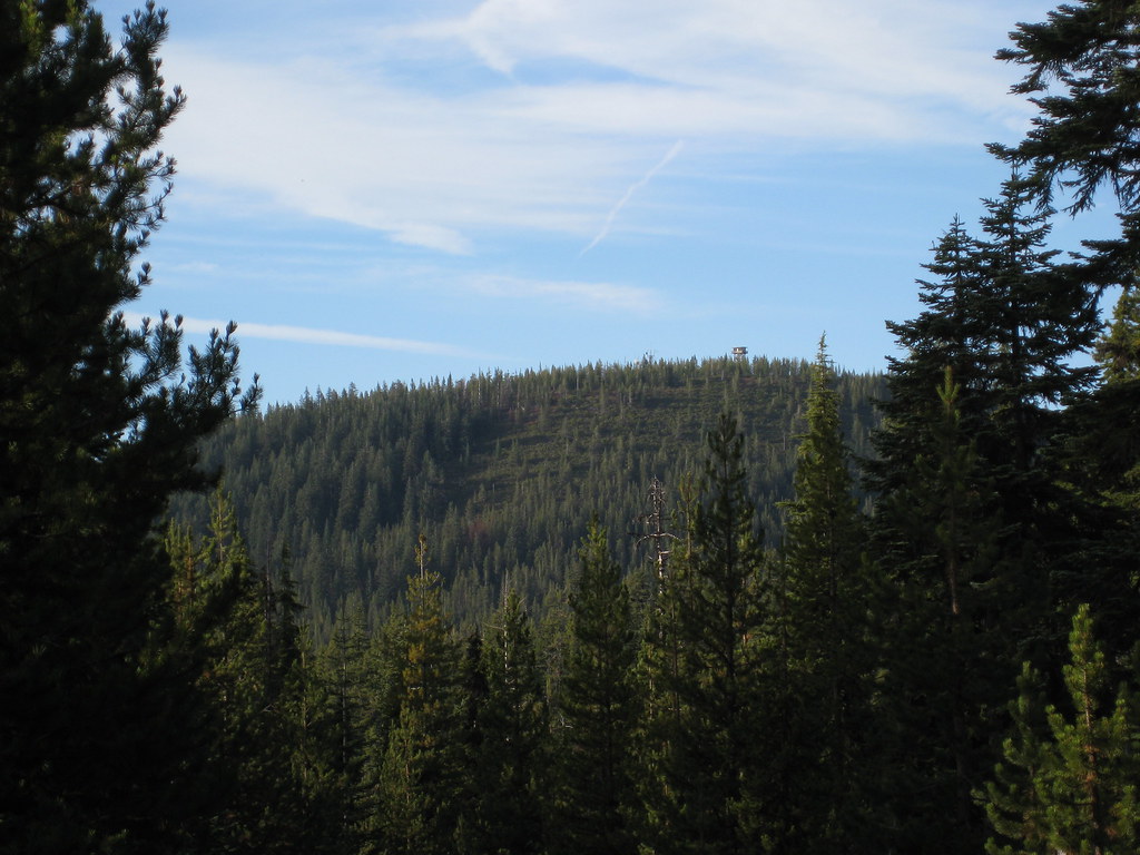 Photo: brewbooks, CC BY-SA 2.0 (via Flickr)
Howlock Mtn.
~4 min drive
6.60-mile out-and-back trail in Oregon with 1,641 ft elevation gain.
 Photo: Forest Service Pacific Northwest Region, Public Domain Mark (via Flickr)
Porcupine Creek Nature
~4 min drive
0.50-mile loop trail in Oregon with 141 ft elevation gain.
 Photo: Don Henise, CC BY 2.0 (via Flickr)
Spruce Ridge Trail
~5 min drive
4.82-mile out-and-back trail in Oregon with 1,172 ft elevation gain.
HIKE
Pct - Oregon Section D
~8 min drive
59.08-mile point-to-point trail in Oregon with 5,859 ft gain and 6,673 ft loss.
Photo: Forest Service Pacific Northwest Region, Public Domain Mark (via Flickr)Mount Thielsen Trail
~4 min drive
7.2-mile out-and-back hike to 7,328 ft in Oregon with 2,102 ft gain
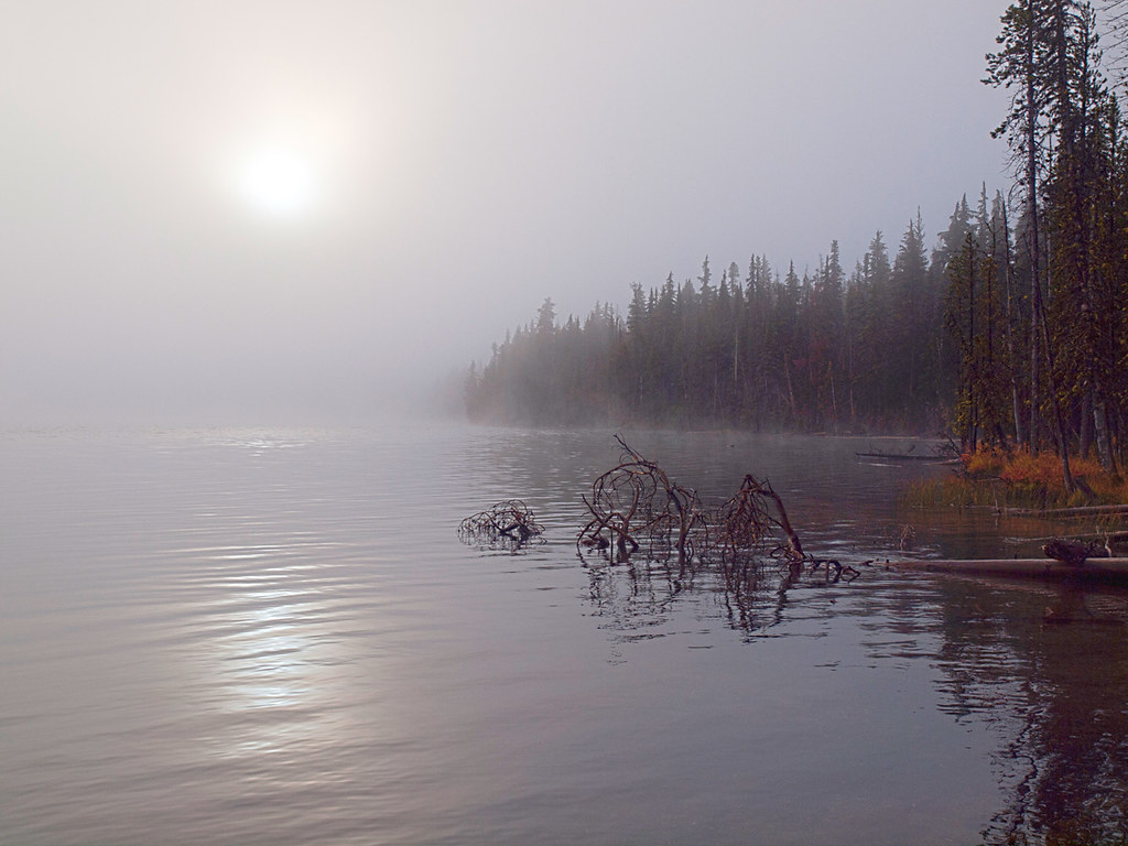 Photo: opiebreath, CC BY 2.0 (via Flickr)
Miller Lake Trail
~13 min drive
0.78-mile out-and-back hike to Miller Lake in Oregon with 396 ft gain
Photo: Don Henise, CC BY 2.0 (via Flickr)Spruce Ridge
~5 min drive
5.50-mile out-and-back trail in Oregon with 707 ft gain
HIKE
ELEPHANT MTN. LOOP WINTER
~15 min drive
29.98-mile out-and-back trail in Oregon with 5,039 ft elevation gain and loss.
Photo: Don Henise, CC BY 2.0 (via Flickr)Howlock Mountain Trail
~5 min drive
6.16-mile out-and-back hike in Oregon with 853 ft gain/loss, max 6,031 ft
 Photo: Forest Service Pacific Northwest Region, Public Domain Mark (via Flickr)
Maidu Loop Trail
~14 min drive
0.74-mile out-and-back trail in Oregon with 175 ft elevation gain.


Route details
- Distance
- 1.8 mi round trip
- Climbing
- About 1,893 ft
- Summit
- 9,112 ft
- Difficulty
- Hard
- Time
- About 1.5 hours
Questions about this route
How long is the Mt. Thielsen on Mount Thielsen?
About 1.8 mi round trip.
How much elevation gain is on the Mt. Thielsen?
About 1,893 ft of climbing round trip.
How hard is the Mt. Thielsen?
It is rated hard.
How long does the Mt. Thielsen take?
About 1.5 hours round trip.
Conditions and forecast on Mount Thielsen
Daily highs and lows, wind and the chance of precipitation at the summit and route start for the next 7 days, from the Open-Meteo model.
