Hidden Meadows Trail
- 3.1 mi
- one way
- 860 ft
- climb
- 5,295 ft
- high point
- Point to point
- route
Hidden Meadows Trail is a 3.1-mile point-to-point hike in Oregon's Mt. Hood National Forest, within the Barlow Ranger District. The Forest Service manages the land, and the trail is rated easy, with an elevation gain of 860 feet from the start at about 5,265 feet to a high point of 5,295 feet. The route is a short outing, and the climb is gentle enough to fit into a day spent exploring the surrounding area. Summer is the most comfortable time to go. Typical averages from a nearby weather station at Government Camp show July and August highs around 70°F with only about four wet days a month, while winter brings highs in the mid-30s and rain on most days. That station sits roughly 1,300 feet lower than the trail, so temperatures on the trail run cooler. The trail starts close to Boulder Lake and Bonney Meadows campground, both about 0.2 miles away, and the Bonney Meadows Trail is 0.4 miles off. For more time on the water, the White River offers canoeing about 2.5 miles away.
Local outfitters
- Imperial River Company25 mi away
- Bike the Gorge31 mi away
Not on Roamze yet. Their page has how to reach them.
Keep exploring — more trails worth the drive
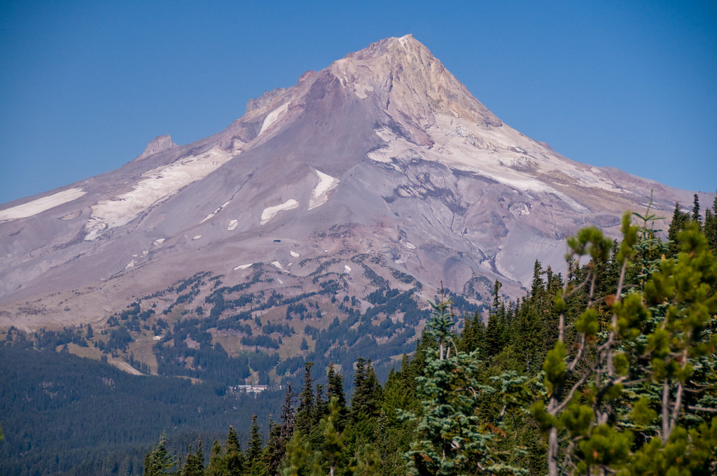 Photo: nomadsamiam, CC BY 2.0 (via Flickr)
Boulder Lake
Next door
5.30-mile out-and-back trail to Boulder Lake in Oregon with 544 ft gain.
Photo: nomadsamiam, CC BY 2.0 (via Flickr)Bonney Meadows Trail
Next door
2.38-mile point-to-point trail in Oregon with 132 ft gain and 1,746 ft loss
Photo: nomadsamiam, CC BY 2.0 (via Flickr)Gunsight Butte
~2 min drive
10-mile out-and-back trail at Gunsight Butte in Oregon
HIKE
Barlow Butte Trail #670
~8 min drive
4.75-mile out-and-back trail in Oregon with 1,387 ft elevation gain.
Photo: nomadsamiam, CC BY 2.0 (via Flickr)Crane Prairie Trail #464
~1 min drive
4.4-mile out-and-back trail in Oregon with 1,701 ft elevation gain and loss.
Photo: nomadsamiam, CC BY 2.0 (via Flickr)FOREST CREEK
~1 min drive
1.06-mile out-and-back trail with 541 ft gain in Oregon.
 Photo: U.S. Forest Service- Pacific Northwest Region, Public domain (via Wikimedia Commons)
Boulder Creek
~3 min drive
11.60-mile out-and-back trail at Boulder Creek in Oregon with 690 ft gain.
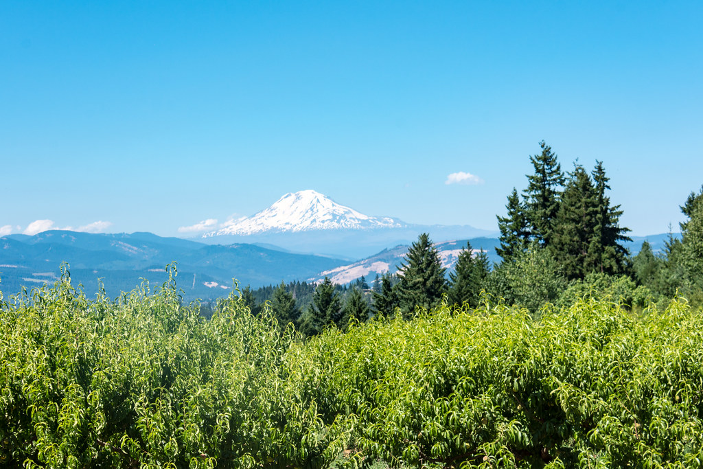 Photo: m01229, CC BY-SA 2.0 (via Flickr)
POCKET CREEK TIE NORDIC
~7 min drive
1.8-mile out-and-back trail in Oregon with 856 ft elevation gain and loss.
Photo: nomadsamiam, CC BY 2.0 (via Flickr)Boulder Lake Shore
~2 min drive
1.00-mile loop trail around Boulder Lake in Oregon.
 Photo: niiicedave, CC BY-SA 2.0 (via Flickr)
POCKET CREEK NORDIC
~7 min drive
8.46-mile out-and-back trail in Oregon with 2,249 ft elevation gain
Map and trail data © OpenStreetMap contributors
