Nottingham
Campground
Campground · 3.3 mi from the trail
 Photo: Ryan Snyder, CC BY 2.0 (via Flickr)
Alert in the area
The Forest Service lists 4 alerts for Hood River Ranger District.
Current fire closures on Mt. Hood National Forest
Agency alert covering Hood River Ranger District · USFS · Hood River Ranger District
Eagle Creek Fire Area Closures
Agency alert covering Mt. Hood National Forest · Order 06-22-01-26-04 · USFS · Mt. Hood National Forest
FR 4613 road damage- use caution
Agency alert covering Mt. Hood National Forest · USFS · Mt. Hood National Forest
Crane Creek bridge closed on the Barlow Road
Agency alert covering Mt. Hood National Forest · USFS · Mt. Hood National Forest
As of · Source: USFS · Hood River Ranger District. Agencies don't list every closure — check before you go.
Gnarl Ridge is a 2-mile out-and-back hike in Oregon's Mount Hood Wilderness, within the Hood River Ranger District of Mt. Hood National Forest. The Forest Service manages the land, and the trail's natural surface makes it an easy walk that fits a short outing in wilderness country. The route rises steadily from a low point of about 5,270 feet to a high of 5,660 feet, with a total gain of about 530 feet. The steepest part comes at roughly 0.7 miles, where the grade reaches about 13%. The trip takes about an hour, and the return brings the same amount of descent. The Elk Meadows Trail #645 and the Elk Meadows Perimeter both start within a quarter mile, so they make an easy addition to the day. For an overnight stay, Nottingham campground is about 3.3 miles away, and the East Fork Hood River offers canoeing at about 3.8 miles.
Nottingham
Campground
Vertical
Restaurant
 If it rainsJmasterson, CC BY-SA 3.0 · Wikimedia Commons
Western Antique Aeroplane & Automobile Museum
Museum
Aviation and automobile museum in Oregon, United States
Places © OpenStreetMap contributors · Photos: Jmasterson, CC BY-SA 3.0 (commons)
More in Mount Hood VillagesNot on Roamze yet. Their page has how to reach them.
 Photo: Mike Fisher, CC BY 2.0 (via Wikimedia Commons)
Newton Creek
Next door
3.60-mile out-and-back trail in Oregon with 1,091 ft gain.
Photo: Ryan Snyder, CC BY 2.0 (via Flickr)Elk Meadows-Bluegrass Tie Trail #647B
Next door
0.64-mile out-and-back hike in Oregon with 463 ft elevation gain.
Photo: Mike Fisher, CC BY 2.0 (via Wikimedia Commons)Sahalie Falls
~2 min drive
4.2-mile out-and-back trail to Sahalie Falls in Oregon with 827 ft gain.
 Photo: inkknife_2000 (7.5 million views +), CC BY-SA 2.0 (via Wikimedia Commons)
Cooper Spur Trail #600B
~7 min drive
2.56-mile out-and-back trail in Oregon with 2,864 ft elevation gain
Photo: Mike Fisher, CC BY 2.0 (via Wikimedia Commons)Jack's Woods Trail
~3 min drive
1.12-mile out-and-back trail in Oregon with 348 ft gain and 5,842 ft max elevation.
 Photo: BFS Man from Webster, TX, USA, CC BY 2.0 (via Wikimedia Commons)
Beargrass Trail
~3 min drive
5.78-mile out-and-back hike in Oregon with 1,722 ft elevation gain and loss.
Photo: inkknife_2000 (7.5 million views +), CC BY-SA 2.0 (via Wikimedia Commons)Eliot Glacier
~8 min drive
2.10-mile out-and-back trail in Oregon with 834 ft elevation gain.
 Photo: inkknife_2000 (7.5 million views +), CC BY-SA 2.0 (via Wikimedia Commons)
Beargrass Cutoff Trail
~3 min drive
1.46-mile out-and-back trail in Oregon with 576 ft elevation gain
 Photo: niiicedave, CC BY-SA 2.0 (via Flickr)
POCKET CREEK NORDIC
~3 min drive
8.46-mile out-and-back trail in Oregon with 2,249 ft elevation gain
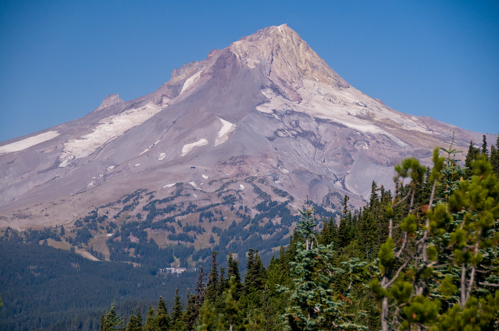 Photo: nomadsamiam, CC BY 2.0 (via Flickr)
Gunsight Butte
~8 min drive
10-mile out-and-back trail at Gunsight Butte in Oregon
