Tilly Jane Guard Station
Campground
Campground · 0.8 mi from the trail
 Photo: inkknife_2000 (7.5 million views +), CC BY-SA 2.0 (via Wikimedia Commons)
Alert in the area
The Forest Service lists 4 alerts for Hood River Ranger District.
Current fire closures on Mt. Hood National Forest
Agency alert covering Hood River Ranger District · USFS · Hood River Ranger District
Eagle Creek Fire Area Closures
Agency alert covering Mt. Hood National Forest · Order 06-22-01-26-04 · USFS · Mt. Hood National Forest
FR 4613 road damage- use caution
Agency alert covering Mt. Hood National Forest · USFS · Mt. Hood National Forest
Crane Creek bridge closed on the Barlow Road
Agency alert covering Mt. Hood National Forest · USFS · Mt. Hood National Forest
As of · Source: USFS · Hood River Ranger District. Agencies don't list every closure — check before you go.
Cooper Spur Trail #600B is a hard out-and-back hike in Oregon's Mount Hood Wilderness, within the Hood River Ranger District of Mt. Hood National Forest. The trail is managed by the Forest Service and runs about 5 miles round trip, with a total elevation gain of 2,823 feet. The route starts at a low point of about 6,662 feet and climbs to a high point of 8,940 feet, and the steepest stretch comes at about 2.3 miles in, with a grade of 42 percent. The climb is front-loaded, so the hardest part of the hike lies in the first half. Plan for about three hours on the trail. The Tilly Jane Trail #600A, a cross-country ski route, sits just 0.2 miles away, and Eliot Glacier is about 0.7 miles off. Tilly Jane Guard Station, a campground, is roughly 0.8 miles away. For a longer outing, the East Fork Hood River offers canoeing about 3.5 miles from the trail.
Tilly Jane Guard Station
Campground
Vertical
Restaurant
 If it rainsJmasterson, CC BY-SA 3.0 · Wikimedia Commons
Western Antique Aeroplane & Automobile Museum
Museum
Aviation and automobile museum in Oregon, United States
Places © OpenStreetMap contributors · Photos: Jmasterson, CC BY-SA 3.0 (commons)
More in Mount Hood VillagesNot on Roamze yet. Their page has how to reach them.
Photo: inkknife_2000 (7.5 million views +), CC BY-SA 2.0 (via Wikimedia Commons)Eliot Glacier
~1 min drive
2.10-mile out-and-back trail in Oregon with 834 ft elevation gain.
Photo: inkknife_2000 (7.5 million views +), CC BY-SA 2.0 (via Wikimedia Commons)Eliot West Moraine
~1 min drive
1.31-mile out-and-back trail at Eliot West Moraine in Oregon with 1,415 ft of elevation gain.
 Photo: inkknife_2000 (7.5 million views +), CC BY-SA 2.0 (via Wikimedia Commons)
Elk Cove Trail #631
~4 min drive
4.66-mile out-and-back trail in Oregon with 393 ft elevation gain.
 Photo: inkknife_2000 (7.5 million views +), CC BY-SA 2.0 (via Wikimedia Commons)
Dollar Lake
~5 min drive
0.40-mile out-and-back trail to Dollar Lake in Oregon with 219 ft gain.
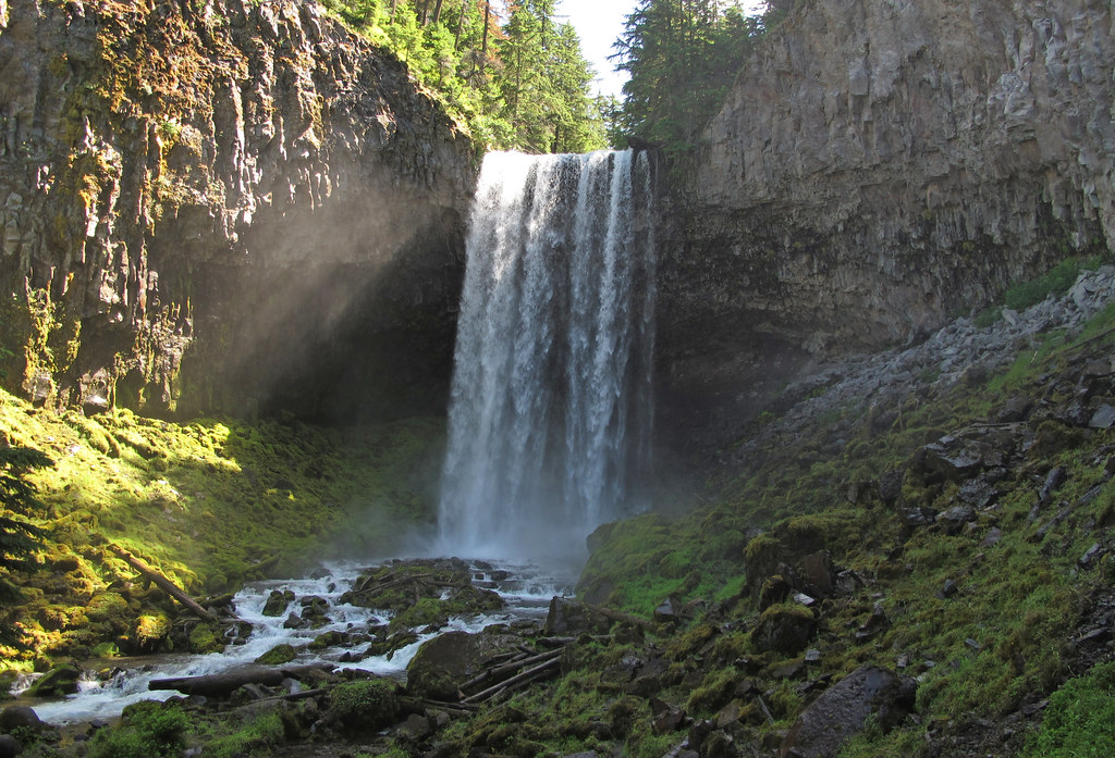 Photo: pmuellr, CC BY 2.0 (via Flickr)
Bluegrass Ridge
~6 min drive
10.80-mile out-and-back trail in Oregon with 1,888 ft elevation gain.
 Photo: BFS Man from Webster, TX, USA, CC BY 2.0 (via Wikimedia Commons)
Upper Wizard Way Trail
~5 min drive
0.77-mile out-and-back hike in Oregon with 917 ft elevation gain.
 Photo: BFS Man from Webster, TX, USA, CC BY 2.0 (via Wikimedia Commons)
Elk Meadows Trail #645
~7 min drive
8.63-mile out-and-back trail in Oregon with 1,699 ft gain.
 Photo: Mike Fisher, CC BY 2.0 (via Wikimedia Commons)
Jack's Woods Trail
~6 min drive
1.12-mile out-and-back trail in Oregon with 348 ft gain and 5,842 ft max elevation.
Photo: Mike Fisher, CC BY 2.0 (via Wikimedia Commons)Newton Creek
~7 min drive
3.60-mile out-and-back trail in Oregon with 1,091 ft gain.
Photo: inkknife_2000 (7.5 million views +), CC BY-SA 2.0 (via Wikimedia Commons)Elk Cove
~6 min drive
4.80-mile out-and-back trail in Oregon with 1,090 ft elevation gain.
Map and trail data © OpenStreetMap contributors

