East Peak-Aneroid Mountain Trail
- 1.4 mi
- round trip
- 1,412 ft
- climb
- 9,636 ft
- high point
- Out and back
- route
Is East Peak-Aneroid Mountain Trail open right now?
Closure in the area
There's a closure order in Wallowa-Whitman National Forest. It doesn't name East Peak-Aneroid Mountain Trail, so check the source for the area it covers.
Anthony Fire Area Closure
Agency closure covering Wallowa-Whitman National Forest · USFS · Wallowa-Whitman National Forest
PHASE B FIRE RESTRICTIONS WALLOW-WHITMAN NATIONAL FOREST
Agency alert covering Wallowa-Whitman National Forest · Order 06-16-00-25-01 · USFS · Wallowa-Whitman National Forest
PHASE A FIRE RESTRICTIONS Wallowa-Whitman NATIONAL FOREST
Agency alert covering Wallowa-Whitman National Forest · Order 06-16-00-25-00 · USFS · Wallowa-Whitman National Forest
As of · Source: USFS · Wallowa-Whitman National Forest. Agencies don't list every closure — check before you go.
East Peak-Aneroid Mountain Trail is a 2.9-mile out-and-back hike in Oregon's Eagle Cap Wilderness, part of the Eagle Cap Ranger District of the Wallowa-Whitman National Forest. The Forest Service manages the land, and the route climbs from about 8,934 feet to a high point of 9,636 feet, with a total elevation gain of 1,412 feet over the round trip. The trail is rated moderate, and the steepest stretch comes at about 1.3 miles in, where the grade reaches 36 percent. The hike is a rolling climb, and the most comfortable time to go is summer, when typical averages from a nearby weather station run in the low to mid 70s °F. Winter brings cold and snow, with typical averages in the 20s. The East Fork Wallowa Trail lies about 1.2 miles away, and the Bonny Lakes Trail is about 2 miles off. Paddlers can reach the West Fork Wallowa River at about 3.6 miles, and Lick Creek Campground is about 8.1 miles away.
Local outfitters
- Oregon Backcountry Outfitting9 mi away
- Cornucopia Lodge & Packstation24 mi away
Not on Roamze yet. Their page has how to reach them.
Conditions and forecast on Aneroid Mountain
Daily highs and lows, wind and the chance of precipitation at the summit and route start for the next 7 days, from the Open-Meteo model.
- East Fork Wallowa TrailHiking1.2 mi
- Bonny Lakes TrailHiking2 mi
- West Fork Wallowa RiverCanoeing3.6 mi
- North Fork Imnaha RiverCanoeing5 mi
- Lakes BasinRock climbing5.9 mi
- Wallowa MountainsRock climbing7.4 mi
- Lick Creek CampgroundCamping8.1 mi
- Hurricane Creek CampgroundCamping9.9 mi
Source: Roamze catalog (indexable pages within 10 miles, PostGIS distance)
 Royal Purple Mine TrailHiking · ~4 min drivePhoto: randallagordon, CC BY-SA 3.0 (via Wikimedia Commons)
- High Wallowa-East Peak TrailHiking · ~5 min drivePhoto: randallagordon, CC BY-SA 3.0 (via Wikimedia Commons)
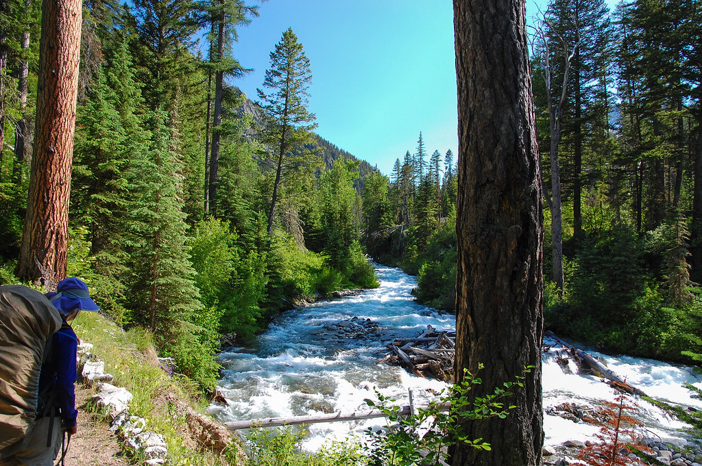 West Fork Wallowa TrailHiking · ~5 min drivePhoto: ilya_ktsn, CC BY 2.0 (via Flickr)
 Ice Lake TrailHiking · ~6 min drivePhoto: U.S. Forest Service- Pacific Northwest Region, Public domain (via Wikimedia Commons)
 Mt. Howard summit loopHiking · ~5 min drivePhoto: ilya_ktsn, CC BY 2.0 (via Flickr)
- Ice Lake TrailHiking · ~5 min drivePhoto: ilya_ktsn, CC BY 2.0 (via Flickr)
 Polaris TrailHiking · ~9 min drivePhoto: ilya_ktsn, CC BY 2.0 (via Flickr)
- East Fork Wallowa TrailHiking · ~6 min drivePhoto: randallagordon, CC BY-SA 3.0 (via Wikimedia Commons)
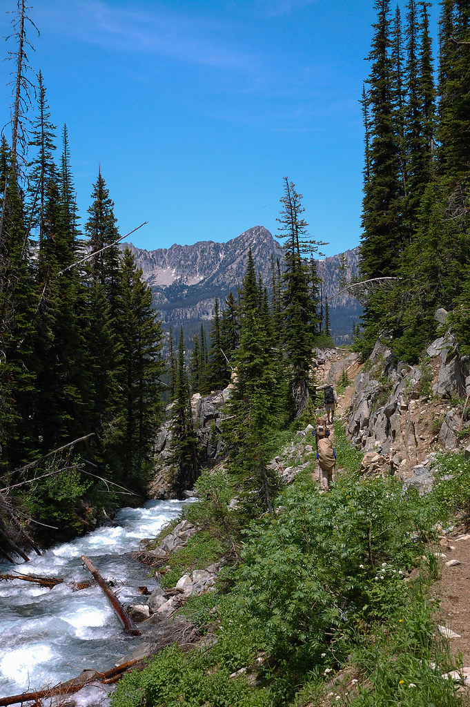 Sentinel Peak WaytrailHiking · ~7 min drivePhoto: ilya_ktsn, CC BY 2.0 (via Flickr)
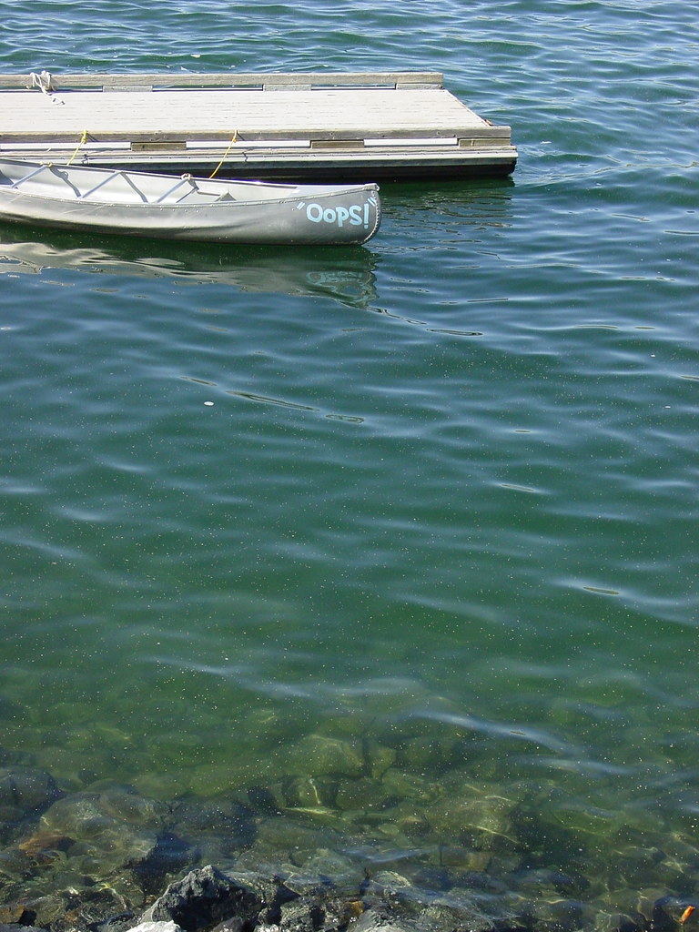 Wallowa Park Tie-In TrailHiking · ~8 min drivePhoto: Breibeest, CC BY 2.0 (via Flickr)

Route details
- Distance
- 1.4 mi round trip
- Climbing
- About 1,412 ft
- Summit
- 9,698 ft
- Difficulty
- Moderate
- Time
- About 1 hour
Questions about this route
How long is the East Peak-Aneroid Mountain Trail on Aneroid Mountain?
About 1.4 mi round trip.
How much elevation gain is on the East Peak-Aneroid Mountain Trail?
About 1,412 ft of climbing round trip.
How hard is the East Peak-Aneroid Mountain Trail?
It is rated moderate.
How long does the East Peak-Aneroid Mountain Trail take?
About 1 hour round trip.
Map and trail data © OpenStreetMap contributors
