High Wallowa-East Peak Trail
 Photo: randallagordon, CC BY-SA 3.0 (via Wikimedia Commons)
- 2.2 mi
- round trip
- 1,646 ft
- climb
- 9,369 ft
- high point
- Out and back
- route
Is High Wallowa-East Peak Trail open right now?
Closure in the area
There's a closure order in Wallowa-Whitman National Forest. It doesn't name High Wallowa-East Peak Trail, so check the source for the area it covers.
Anthony Fire Area Closure
Agency closure covering Wallowa-Whitman National Forest · USFS · Wallowa-Whitman National Forest
PHASE B FIRE RESTRICTIONS WALLOW-WHITMAN NATIONAL FOREST
Agency alert covering Wallowa-Whitman National Forest · Order 06-16-00-25-01 · USFS · Wallowa-Whitman National Forest
PHASE A FIRE RESTRICTIONS Wallowa-Whitman NATIONAL FOREST
Agency alert covering Wallowa-Whitman National Forest · Order 06-16-00-25-00 · USFS · Wallowa-Whitman National Forest
As of · Source: USFS · Wallowa-Whitman National Forest. Agencies don't list every closure — check before you go.
The High Wallowa-East Peak Trail is a 4.3-mile out-and-back hike in the Eagle Cap Ranger District of the Wallowa-Whitman National Forest in northeastern Oregon. The trail starts at about 8,182 feet and climbs to a high point of 9,369 feet, with a total elevation gain of 1,646 feet over the round trip. The steepest stretch comes at about 1.7 miles in, where the grade reaches 29 percent. The route is rated moderate. The trail is managed by the Forest Service, and the trip is estimated to take about 2.5 hours. The Mt. Howard summit loop lies just 0.1 mile away, and the Royal Purple Mine Trail is about 1.1 miles off. For an overnight stay, Hurricane Creek Campground is roughly 7.7 miles away, and the West Fork Wallowa River offers canoeing about 5.1 miles from the trail.
Local outfitters
- Oregon Backcountry Outfitting7 mi away
- Cornucopia Lodge & Packstation27 mi away
Not on Roamze yet. Their page has how to reach them.
Keep exploring — more trails worth the drive
 Photo: ilya_ktsn, CC BY 2.0 (via Flickr)
Mt. Howard summit loop
Next door
1.22-mile loop in Oregon with 471 ft elevation gain and 8,212 ft max elevation.
Photo: randallagordon, CC BY-SA 3.0 (via Wikimedia Commons)East Fork Wallowa Trail
~3 min drive
4.11-mile out-and-back hike on the East Fork Wallowa Trail in Oregon with 3,035 ft of elevation gain.
 Photo: Breibeest, CC BY 2.0 (via Flickr)
Wallowa Park Tie-In Trail
~5 min drive
0.62-mile out-and-back trail in Oregon with 21 ft gain and 917 ft loss.
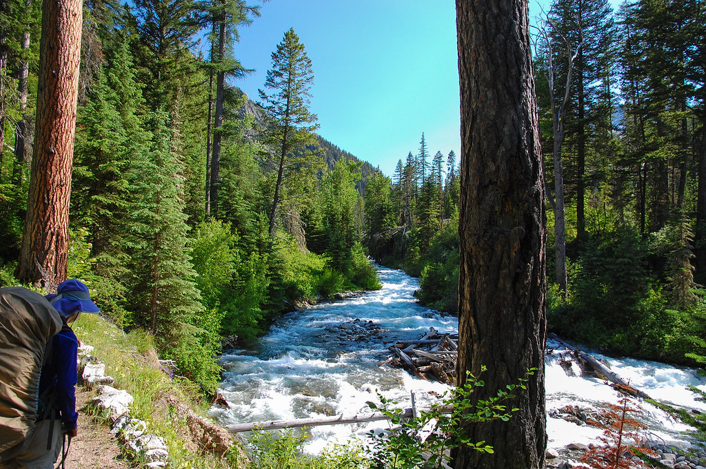 Photo: ilya_ktsn, CC BY 2.0 (via Flickr)
West Fork Wallowa Trail
~5 min drive
23.34-mile out-and-back trail in Oregon with 4,659 ft gain/loss and 8,376 ft max elevation.
Photo: randallagordon, CC BY-SA 3.0 (via Wikimedia Commons)Royal Purple Mine Trail
~2 min drive
0.76-mile out-and-back hike to Royal Purple Mine in Oregon with 547 ft gain
 Photo: pfly from Pugetopolis, CC BY-SA 2.0 (via Wikimedia Commons)
Chief Joseph Ascent
~5 min drive
1.97-mile out-and-back trail in Oregon with 3,208 ft elevation gain.
Photo: Breibeest, CC BY 2.0 (via Flickr)Blowdown
~5 min drive
Blowdown is a 0.55-mile out-and-back trail in Oregon with 38 ft of elevation gain.
Photo: pfly from Pugetopolis, CC BY-SA 2.0 (via Wikimedia Commons)Chief Joseph Trail
~6 min drive
4.71-mile out-and-back trail in Oregon with 1,105 ft gain and 3,584 ft loss.
 Photo: U.S. Forest Service- Pacific Northwest Region, Public domain (via Wikimedia Commons)
Ice Lake Trail
~9 min drive
2.02-mile out-and-back hike in Oregon with 699 ft gain/loss, max 7,935 ft.
Photo: U.S. Forest Service- Pacific Northwest Region, Public domain (via Wikimedia Commons)Ice Lake Trail
~6 min drive
6.88-mile out-and-back hike in Oregon with 3,161 ft elevation gain

Route details
- Distance
- 2.2 mi round trip
- Climbing
- About 1,646 ft
- Summit
- 9,371 ft
- Difficulty
- Moderate
- Time
- About 1.5 hours
Other routes up East Peak
Questions about this route
How long is the High Wallowa-East Peak Trail on East Peak?
About 2.2 mi round trip.
How much elevation gain is on the High Wallowa-East Peak Trail?
About 1,646 ft of climbing round trip.
How hard is the High Wallowa-East Peak Trail?
It is rated moderate.
How long does the High Wallowa-East Peak Trail take?
About 1.5 hours round trip.
How many routes go up East Peak?
2: High Wallowa-East Peak Trail and East Peak-Aneroid Mountain Trail.
Conditions and forecast on East Peak
Daily highs and lows, wind and the chance of precipitation at the summit and route start for the next 7 days, from the Open-Meteo model.
Map and trail data © OpenStreetMap contributors
