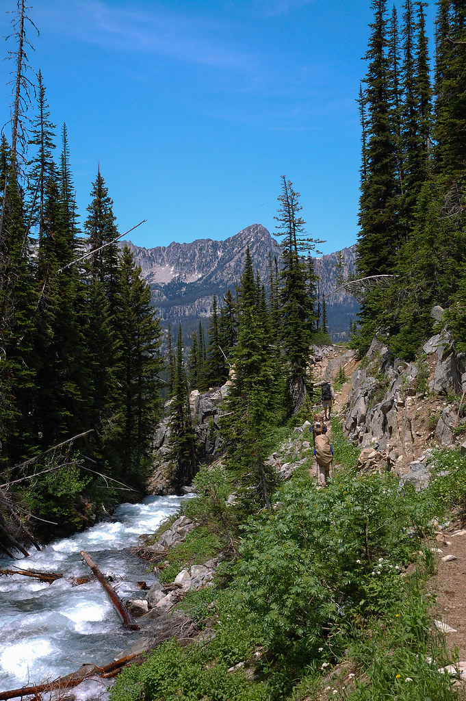
Aneroid Mountain
- 9,698 ft
- summit
- 1
- way up
Is Aneroid Mountain open right now?
Closure in the area
There's a closure order in Wallowa-Whitman National Forest. It doesn't name Aneroid Mountain, so check the source for the area it covers.
Anthony Fire Area Closure
Agency closure covering Wallowa-Whitman National Forest · USFS · Wallowa-Whitman National Forest
PHASE B FIRE RESTRICTIONS WALLOW-WHITMAN NATIONAL FOREST
Agency alert covering Wallowa-Whitman National Forest · Order 06-16-00-25-01 · USFS · Wallowa-Whitman National Forest
PHASE A FIRE RESTRICTIONS Wallowa-Whitman NATIONAL FOREST
Agency alert covering Wallowa-Whitman National Forest · Order 06-16-00-25-00 · USFS · Wallowa-Whitman National Forest
As of · Source: USFS · Wallowa-Whitman National Forest. Agencies don't list every closure — check before you go.
Aneroid Mountain is a summit in Oregon's Eagle Cap Wilderness, within the Eagle Cap Ranger District of the Wallowa-Whitman National Forest. The nearest town is Wallowa Lake, about 7 miles away. Several trails start close by. The East Fork Wallowa Trail is about a mile off, Bonny Lakes Trail is about 1.2 miles away, and the East Peak-Aneroid Mountain Trail is about 1.3 miles away. Lick Creek Campground sits roughly 7.5 miles from the summit.
Conditions and forecast
Daily highs and lows, wind and the chance of precipitation at the summit and route start for the next 7 days, from the Open-Meteo model.
- Summit elevation
- 9,698 ft
Elevation from USGS 3D Elevation Program terrain data (about 10 m resolution).
Map © Mapbox © OpenStreetMap contributors Questions about Aneroid Mountain
How tall is Aneroid Mountain?
9,698 ft (2,956 m).
How many routes go to the summit of Aneroid Mountain?
One: East Peak-Aneroid Mountain Trail.
- East Peak9,371 ft · Oregon2 routes2.4 mi away
- Sentinel Peak9,404 ft · Oregon1 route3.7 mi away
 Mount Howard8,245 ft · Oregon1 route4.0 mi awayPhoto: Orygun, CC BY-SA 4.0 (via Wikimedia Commons)
- Matterhorn9,823 ft · Oregon2 routes6.3 mi away
 Sacajawea Peak9,836 ft · Oregon1 route6.5 mi awayPhoto: Gary Halvorson, Oregon State Archives, CC BY 4.0 (via Wikimedia Commons)
 Eagle Cap9,564 ft · Oregon1 route6.8 mi awayPhoto: araddon, CC BY 2.0 (via Wikimedia Commons)
- East Fork Wallowa TrailHiking1.1 mi
- Bonny Lakes TrailHiking1.2 mi
- East Peak-Aneroid Mountain TrailHiking1.3 mi
- West Fork Wallowa RiverCanoeing3.3 mi
- North Fork Imnaha RiverCanoeing3.7 mi
- Lakes BasinRock climbing5.6 mi
- Lick Creek CampgroundCamping7.5 mi
- Wallowa MountainsRock climbing7.9 mi
Source: Roamze catalog (indexable pages within 10 miles, PostGIS distance)
- Mount HowardSummit · ~7 min drivePhoto: Orygun, CC BY-SA 4.0 (via Wikimedia Commons)
- Sacajawea PeakSummit · ~11 min drivePhoto: Gary Halvorson, Oregon State Archives, CC BY 4.0 (via Wikimedia Commons)
- Eagle CapSummit · ~12 min drivePhoto: araddon, CC BY 2.0 (via Wikimedia Commons)
- East PeakSummit · ~4 min drive
- Sentinel PeakSummit · ~6 min drive
- Chief Joseph MountainSummit · ~12 min drive
- Russel MountainSummit · ~18 min drive
- Twin PeaksSummit · ~19 min drive
- Granite ButteSummit · ~28 min drive
- Mule PeakSummit · ~29 min drive