Chinidere Mountain
- 4,668 ft
- summit
- 1
- way up
Is Chinidere Mountain open right now?
Alert in the area
The Forest Service lists 5 alerts for Mt. Hood National Forest.
Tamanawas Falls Trail closed due to instability hazards
Agency alert covering Mt. Hood National Forest · USFS · Mt. Hood National Forest
Current fire closures on Mt. Hood National Forest
Agency alert covering Hood River Ranger District · USFS · Hood River Ranger District
Eagle Creek Fire Area Closures
Agency alert covering Mt. Hood National Forest · Order 06-22-01-26-04 · USFS · Mt. Hood National Forest
FR 4613 road damage- use caution
Agency alert covering Mt. Hood National Forest · USFS · Mt. Hood National Forest
Crane Creek bridge closed on the Barlow Road
Agency alert covering Mt. Hood National Forest · USFS · Mt. Hood National Forest
As of · Source: USFS · Mt. Hood National Forest. Agencies don't list every closure — check before you go.
Chinidere Mountain is a summit of 4,668 feet in Oregon's Mark O. Hatfield Wilderness, within the Hood River Ranger District of Mt. Hood National Forest. The nearest town is Cascade Locks, about 7 miles away. Summer is the most comfortable time to go. Typical averages from a nearby weather station at Government Camp show July and August highs around 70°F with only about four wet days a month, while winter months bring highs in the mid-30s and rain on most days. The Chindere Mountain Trail #445 starts just 0.1 mile from the summit, and the Chinidere Cutoff Trail #406M is about 0.2 mile away. Wahtum Lake Campground and Ottertail Lake are both within about 2 miles.
Conditions and forecast
Daily highs and lows, wind and the chance of precipitation at the summit and route start for the next 7 days, from the Open-Meteo model.
- Summit elevation
- 4,668 ft
Elevation from USGS 3D Elevation Program terrain data (about 10 m resolution).
Map © Mapbox © OpenStreetMap contributors Questions about Chinidere Mountain
How tall is Chinidere Mountain?
4,668 ft (1,423 m).
How many routes go to the summit of Chinidere Mountain?
One: Chindere Mountain Trail #445.
- Tomlike Mountain4,519 ft · Oregon1 route1.6 mi away
- Indian Mountain4,905 ft · Oregon1 route2.7 mi away
- Green Point Mountain4,719 ft · Oregon1 route3.3 mi away
- Tanner Butte4,497 ft · Oregon1 route4.8 mi away
 Mount Defiance4,957 ft · Oregon2 routes6.1 mi awayPhoto: Mehmet Emre Yavuz Meyavuz, CC BY-SA 3.0 (via Wikimedia Commons)
- Lost Lake Butte4,460 ft · Oregon1 route6.3 mi away
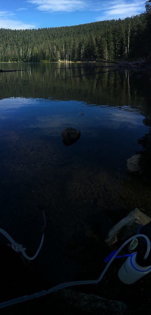 Chindere Mountain Trail #445HikingPhoto: Ryan Forsythe, CC BY-SA 2.0 (via Flickr)0.1 mi
- Chinidere Cutoff Trail #406MHiking0.2 mi
- Wahtum Lake CampgroundCamping1.1 mi
- Ottertail LakeCamping1.6 mi
 Eagle CreekCanoeingPhoto: Werewombat, CC BY-SA 3.0 (via Wikimedia Commons)3.3 mi
- Herman CreekCanoeing4.4 mi
- Sleepy HollowRock climbing6.1 mi
- Lost Lake BouldersRock climbing6.2 mi
Source: Roamze catalog (indexable pages within 10 miles, PostGIS distance)
- Mount DefianceSummit · ~10 min drivePhoto: Mehmet Emre Yavuz Meyavuz, CC BY-SA 3.0 (via Wikimedia Commons)
 Greenleaf PeakSummit · ~20 min drivePhoto: Walter Siegmund (talk), CC BY-SA 3.0 (via Wikimedia Commons)
 Zigzag MountainSummit · ~28 min drivePhoto: U.S. Forest Service- Pacific Northwest Region, Public domain (via Wikimedia Commons)
 Chanticleer PointSummit · ~38 min drivePhoto: Unknown authorUnknown author or not provided, Public domain (via Wikimedia Commons)
 Table MountainSummit · ~19 min drivePhoto: Walter Siegmund (talk), CC BY-SA 3.0 (via Wikimedia Commons)
- Tomlike MountainSummit · ~3 min drive
- Indian MountainSummit · ~5 min drive
- Green Point MountainSummit · ~6 min drive
- Tanner ButteSummit · ~8 min drive
- Lost Lake ButteSummit · ~11 min drive
Also worth it near here
 Chinidere MountainMountain biking · Next doorPhoto: Axcordion, CC BY-SA 3.0 (via Wikimedia Commons)
- Eagle Creek TrailHiking · ~1 min drivePhoto: Ryan Forsythe, CC BY-SA 2.0 (via Flickr)
- Wahtum Lake CamgroundCamping · ~2 min drive
- Eagle CreekCanoeing · ~6 min drivePhoto: Werewombat, CC BY-SA 3.0 (via Wikimedia Commons)
