South Fork Camps
- from $10
- fee
- Feb–Nov
- best months
Is South Fork Camps open right now?
No closures listed
The Forest Service lists no closures for Rogue River-Siskiyou National Forests.
As of · Source: USFS · Rogue River-Siskiyou National Forests. Agencies don't list every closure — check before you go.
- At 150 ft
- Gold Beach Ranger DistrictRogue River-Siskiyou National Forests
South Fork Camps is a Forest Service campground in the Gold Beach Ranger District of the Rogue River-Siskiyou National Forests in Oregon. It sits within the national forest's Gold Beach Ranger District, and the nearest town is Brookings, about 12 miles away. The most comfortable months for a visit are typically July and August, when typical averages from a nearby weather station in Brookings run to highs around 67°F and lows in the low 50s. Winter is cooler, with typical January highs near 54°F and lows around 44°F. A fee is charged for recreation at this site. South Fork Upper campground is just 0.4 miles away, and Redwood Bar and Nook Bar campgrounds are both within about 3 miles. Paddlers can head to the South Fork Chetco River, roughly 5 miles off.
Local outfitters
- Beachfront RV Park12 mi away
- Turtle Rock RV Resort20 mi away
Not on Roamze yet. Their page has how to reach them.
- South Fork UpperCamping0.4 mi
- Chetco GorgeHiking2 mi
- Redwood BarCamping2.2 mi
- Nook BarCamping3.1 mi
- Eagle CreekCanoeing4.3 mi
- South Fork Chetco RiverCanoeing4.9 mi
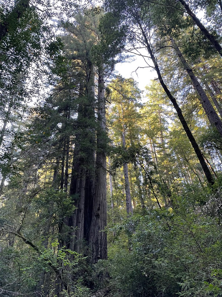 Redwood NatureHikingPhoto: bsterling, CC BY-SA 2.0 (via Flickr)5.7 mi
 Riverview Nature TrailHikingPhoto: Rick Obst, CC BY 2.0 (via Flickr)5.9 mi
Source: Roamze catalog (indexable pages within 10 miles, PostGIS distance)
- Quail Prairie LookoutCamping · ~10 min drive
- Pearsoll Peak LoHut camping · ~28 min drive
 Alfred A. LoebCamping · ~10 min drivePhoto: Rick Obst — CC BY 2.0 (via Flickr)
- South Fork UpperCamping · Next door
- Redwood BarCamping · ~4 min drive
- Little RedwoodCamping · ~4 min drive
- Nook BarCamping · ~5 min drive
- Miller BarCamping · ~8 min drive
- Packers CabinCamping · ~8 min drive
- Red Mountain PrairieCamping · ~10 min drive
Also worth it near here
- Redwood NatureHiking · ~10 min drivePhoto: bsterling, CC BY-SA 2.0 (via Flickr)
 Mount EmilySummit · ~10 min drivePhoto: Visitor7, CC BY-SA 3.0 (via Wikimedia Commons)
 Winchuck RiverCanoeing · ~20 min drivePhoto: United States Forest Service, Public domain (via Wikimedia Commons)
- Natural BridgesNatural arch · ~21 min drive
Best time to visit South Fork Camps
Best months: February–November. Best months have typical highs of 55–85 °F, lows of 30 °F or warmer (32 °F where the station doesn't record snow), at most one snowy day and no more than 12 wet days.
Jan
54° / 44°
Feb
55° / 43°
Mar
55° / 43°
Apr
58° / 45°
May
62° / 48°
Jun
65° / 51°
Jul
67° / 53°
Aug
66° / 54°
Sep
67° / 52°
Oct
63° / 49°
Nov
57° / 46°
Dec
53° / 43°
Typical high / low (°F) and days with rain or snow, 1991–2020. Measured at Brookings, OR, 12.6 mi away at 82 ft. This station doesn't record snowfall. Source: NOAA NCEI U.S. Climate Normals 1991–2020.
Closures we've recorded since August 2026
Stage 2 Public Use Fire Restrictions (Forest-wide)
Rogue River-Siskiyou National Forests · Order dated September 4, 2026; seen Sep 3, 2026 → lifted Oct 28, 2026 · Forest Service
Stage 3 Public Use Fire Restrictions (Forest-wide)
Rogue River-Siskiyou National Forests · Order dated July 17, 2026; seen Aug 23, 2026 → lifted Sep 3, 2026 · Forest Service
