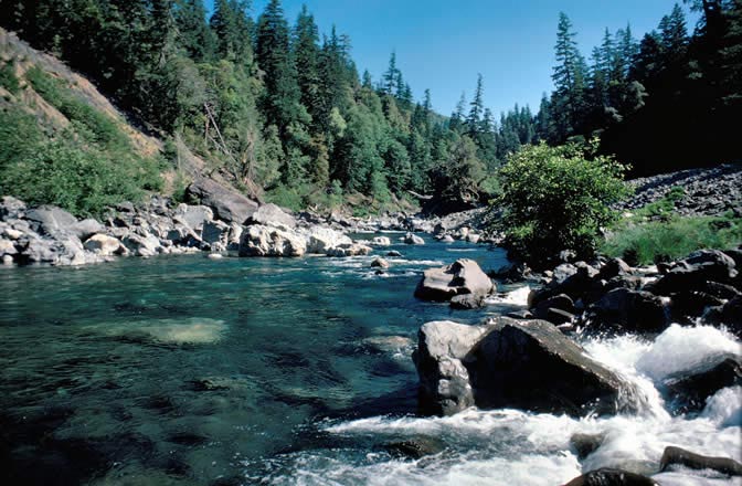
Chetco Gorge
- 3.4 mi
- round trip
- 1,260 ft
- climb
- 376 ft
- high point
- Out and back
- route
- Feb–Nov
- best months
Is Chetco Gorge open right now?
No closures listed
The Forest Service lists no closures for Rogue River-Siskiyou National Forests.
As of · Source: USFS · Rogue River-Siskiyou National Forests. Agencies don't list every closure — check before you go.
Chetco Gorge is a 3.4-mile out-and-back hike in the Gold Beach Ranger District of the Rogue River-Siskiyou National Forests in Oregon, managed by the Forest Service. The trail is rated moderate, with a one-way elevation gain of 332 feet. The route is natural-surface and allows both horses and bikes. It is not an accessible trail. Summer is the most comfortable time to go. Typical averages from a nearby weather station in Brookings show July and September highs around 67°F with lows in the low 50s, while winter highs sit in the low to mid 50s. South Fork Upper and South Fork Camps are both campgrounds within about 2 miles. Eagle Creek, a canoeing spot, is about 2.5 miles away, and Redwood Bar campground is about 4 miles off.
Local outfitters
- Turtle Rock RV Resort19 mi away
- John Carl Guide Service24 mi away
Not on Roamze yet. Their page has how to reach them.
Best time to go · Feb–Nov
Best time to visit Chetco Gorge
Best months: February–November. Best months have typical highs of 55–85 °F, lows of 30 °F or warmer (32 °F where the station doesn't record snow), at most one snowy day and no more than 12 wet days.
Jan
54° / 44°
Feb
55° / 43°
Mar
55° / 43°
Apr
58° / 45°
May
62° / 48°
Jun
65° / 51°
Jul
67° / 53°
Aug
66° / 54°
Sep
67° / 52°
Oct
63° / 49°
Nov
57° / 46°
Dec
53° / 43°
Typical high / low (°F) and days with rain or snow, 1991–2020. Measured at Brookings, OR, 13.8 mi away at 82 ft. This station doesn't record snowfall. Source: NOAA NCEI U.S. Climate Normals 1991–2020.
Closures we've recorded since August 2026
Stage 2 Public Use Fire Restrictions (Forest-wide)
Rogue River-Siskiyou National Forests · Order dated September 4, 2026; seen Sep 3, 2026 → lifted Oct 28, 2026 · Forest Service
Stage 3 Public Use Fire Restrictions (Forest-wide)
Rogue River-Siskiyou National Forests · Order dated July 17, 2026; seen Aug 23, 2026 → lifted Sep 3, 2026 · Forest Service
Keep exploring — more trails worth the drive
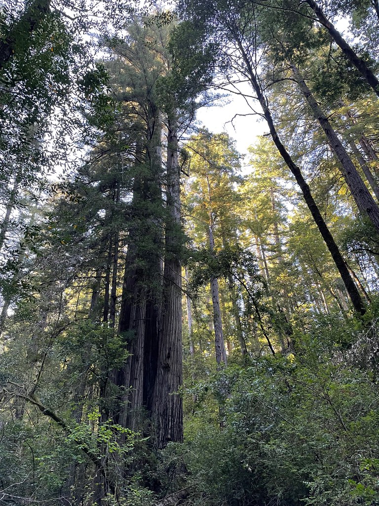 Photo: bsterling, CC BY-SA 2.0 (via Flickr)
Redwood Nature
~12 min drive
2.40-mile loop trail in Oregon with 555 ft elevation gain.
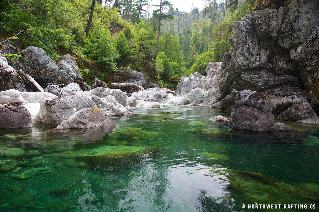 Photo: Northwest Rafting Company, CC BY 2.0 (via Flickr)
Tincup
~13 min drive
Tincup is a 30.44-mile out-and-back trail in Oregon with 5,724 feet of elevation gain.
 Photo: Forest Service Pacific Northwest Region, Public Domain Mark (via Flickr)
Chetco Divide
~13 min drive
19.20-mile out-and-back trail in Oregon with 2,064 ft gain.
Photo: Forest Service Pacific Northwest Region, Public Domain Mark (via Flickr)Vulcan Peak
~13 min drive
2.00-mile out-and-back trail to Vulcan Peak in Oregon with 954 ft elevation gain.
 Photo: Rick Obst, CC BY 2.0 (via Flickr)
Riverview Nature Trail
~13 min drive
1.32-mile out-and-back trail in Oregon with 859 ft elevation gain
 Photo: U.S. Forest Service- Pacific Northwest Region, Public domain (via Wikimedia Commons)
Red Mountain
~15 min drive
7.10-mile out-and-back trail in Oregon with 4,288 ft gain and 6,073 ft loss.
 Photo: zappowbang, CC BY-SA 2.0 (via Flickr)
Oregon Coast Trail
~20 min drive
7.2-mile out-and-back trail on Oregon's coast with 2,936 ft elevation gain
Photo: U.S. Forest Service- Pacific Northwest Region, Public domain (via Wikimedia Commons)Vulcan Lake
~14 min drive
2.60-mile out-and-back trail to Vulcan Lake in Oregon with 866 ft gain.
Photo: Forest Service Pacific Northwest Region, Public Domain Mark (via Flickr)Little Vulcan Lake
~14 min drive
Little Vulcan Lake is a 0.40-mile out-and-back trail in Oregon with 185 feet of elevation loss.
 Photo: Northwest Rafting Company, CC BY 2.0 (via Flickr)
Upper Chetco Trail
~21 min drive
34.14-mile out-and-back trail in Oregon with 11,678 ft elevation gain/loss.