Old Carriage Trail
 Photo: National Park Service, Public domain (via Wikimedia Commons)
- 3.4 mi
- one way
- 221 ft
- climb
- 834 ft
- high point
- Point to point
- route
- Apr–Oct
- best months
Is Old Carriage Trail open right now?
Closure in the area
There's a closure order in Cuyahoga Valley National Park. It doesn't name Old Carriage Trail, so check the source for the area it covers (2 listed).
Towpath Trail between Boston and Peninsula
Park closure covering Cuyahoga Valley National Park · NPS · Cuyahoga Valley National Park
Haskell Run Restoration
Park closure covering Cuyahoga Valley National Park · NPS · Cuyahoga Valley National Park
Vehicle Break-in and Theft Warning
Park alert covering Cuyahoga Valley National Park · NPS · Cuyahoga Valley National Park
As of · Source: NPS · Cuyahoga Valley National Park. Agencies don't list every closure — check before you go.
Old Carriage Trail is a 3.4-mile point-to-point hike in Cuyahoga Valley National Park in Ohio, managed by the National Park Service. The route rises from about 640 feet to about 830 feet, with a total elevation gain of 221 feet. It is rated easy, and the steepest stretch comes at about 2.6 miles in, where the grade reaches 17%. Late spring and early fall are the most comfortable times to go. Typical averages from a nearby weather station show May highs around 70°F and September highs around 74°F, while January highs average about 33°F. The trail is not open to bikes or horses. Several other routes lie within a few miles, including White Oak Trail about 2.3 miles away and Deer Lick Cave Trail about 2.5 miles away. Climbers can find Midstream and The Hanger about 3.3 miles off.
 White Oak TrailHikingPhoto: Rob Norris, CC0 (via Wikimedia Commons)2.3 mi
- Buckeye Trail (Medina)HikingPhoto: Rob Norris, CC0 (via Wikimedia Commons)2.5 mi
- Buckeye Trail (Bedford)Hiking2.5 mi
- Deer Lick Cave TrailHikingPhoto: Rob Norris, CC0 (via Wikimedia Commons)2.5 mi
- MidstreamRock climbing3.3 mi
- The HangerRock climbing3.3 mi
- DownstreamRock climbing3.3 mi
- Chippewa CreekRock climbing3.3 mi
Source: Roamze catalog (indexable pages within 10 miles, PostGIS distance)
 Bike & Hike TrailHiking · ~3 min drivePhoto: david_e_waldron, Public Domain Dedication (CC0) (via Flickr)
- White Oak TrailHiking · ~4 min drivePhoto: Rob Norris, CC0 (via Wikimedia Commons)
- Buckeye Trail (Medina)Hiking · ~4 min drivePhoto: Rob Norris, CC0 (via Wikimedia Commons)
- Deer Lick Cave TrailHiking · ~4 min drivePhoto: Rob Norris, CC0 (via Wikimedia Commons)
 Mars QuarryHiking · ~8 min drivePhoto: RuggyBearLA, CC BY 2.0 (via Flickr)
 Tree Farm TrailHiking · ~8 min drivePhoto: david_e_waldron, Public Domain Dedication (CC0) (via Flickr)
- Karl's CornerHiking · ~9 min drivePhoto: RuggyBearLA, CC BY 2.0 (via Flickr)
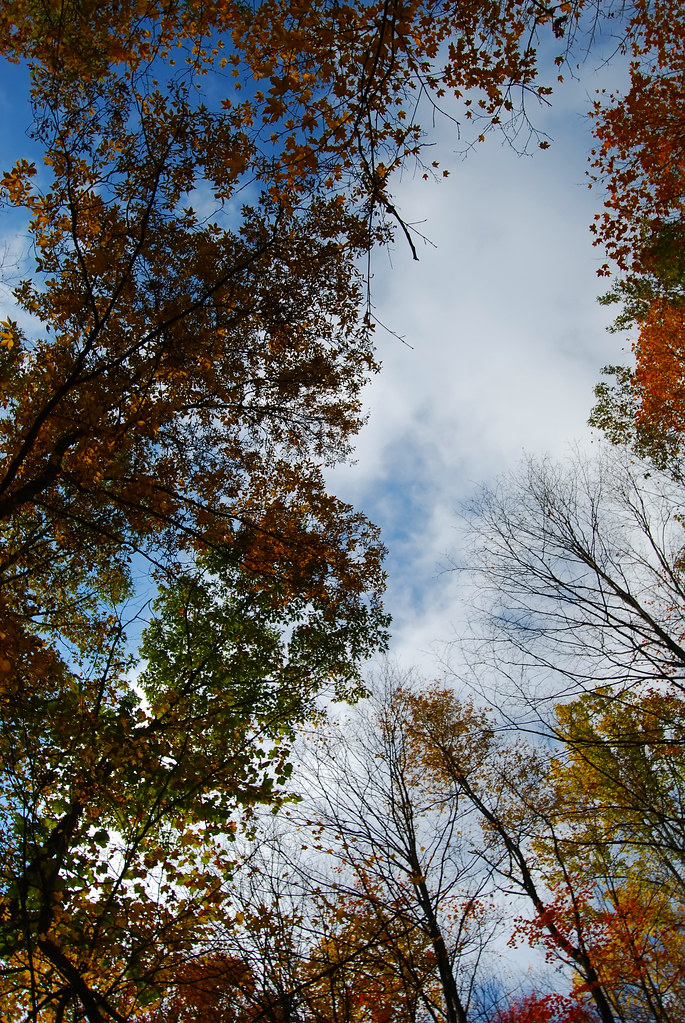 Wild Oaks LoopHiking · ~9 min drivePhoto: RuggyBearLA, CC BY 2.0 (via Flickr)
- Eddie's Wildlife PassHiking · ~9 min drivePhoto: RuggyBearLA, CC BY 2.0 (via Flickr)
 Parallel UniverseHiking · ~9 min drivePhoto: david_e_waldron, Public Domain Dedication (CC0) (via Flickr)
Best time to visit Old Carriage Trail
Best months: April–October. Best months have typical highs of 55–85 °F, lows of 30 °F or warmer (32 °F where the station doesn't record snow), at most one snowy day and no more than 12 wet days.
Jan
33° / 18°
Feb
36° / 19°
Mar
46° / 25°
Apr
60° / 37°
May
70° / 47°
Jun
78° / 56°
Jul
82° / 60°
Aug
81° / 59°
Sep
74° / 52°
Oct
61° / 41°
Nov
49° / 32°
Dec
39° / 24°
Typical high / low (°F) and days with rain or snow, 1991–2020. Measured at Stow 4 Se, OH, 13.1 mi away at 1,060 ft. This station doesn't record snowfall. Source: NOAA NCEI U.S. Climate Normals 1991–2020.
Map and trail data © OpenStreetMap contributors
