Ridgeline Nature Trail
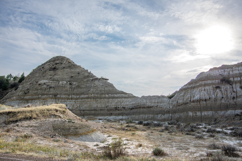 Photo: RuggyBearLA, CC BY-SA 2.0 (via Flickr)
- 1.0 mi
- one way
- 172 ft
- climb
- 2,764 ft
- high point
- Point to point
- route
- May–Oct
- best months
Is Ridgeline Nature Trail open right now?
No closures listed
The National Park Service lists no closures for Theodore Roosevelt National Park.
As of · Source: NPS · Theodore Roosevelt National Park. Agencies don't list every closure — check before you go.
Ridgeline Nature Trail is a short, easy hike in Theodore Roosevelt National Park in North Dakota, managed by the National Park Service. The trail is about a mile long, with a total elevation gain of 172 feet, and it runs from a starting point at about 2,697 feet to a high point of 2,764 feet. The route is a point-to-point trail, and the steepest stretch comes at about 0.35 miles in, with a grade of about 5 percent. Summer is the most comfortable time to go. Typical averages from a nearby weather station in Medora show July and August highs around 82°F with lows in the mid-50s, while winter highs stay in the upper 20s. The hike takes about half an hour. The East Loop Trail and West Loop Trail are both within about 2.5 miles, and the Coal Vein Trail Post 14: Grassland is about 3 miles away. Climbers can find Medora Interstate Rocks roughly 6 miles off.
 East Loop TrailHikingPhoto: CLS Rob, CC BY-SA 2.0 (via Flickr)2.2 mi
- West Loop TrailHiking2.5 mi
- Little Missouri National GrasslandLake fishing2.8 mi
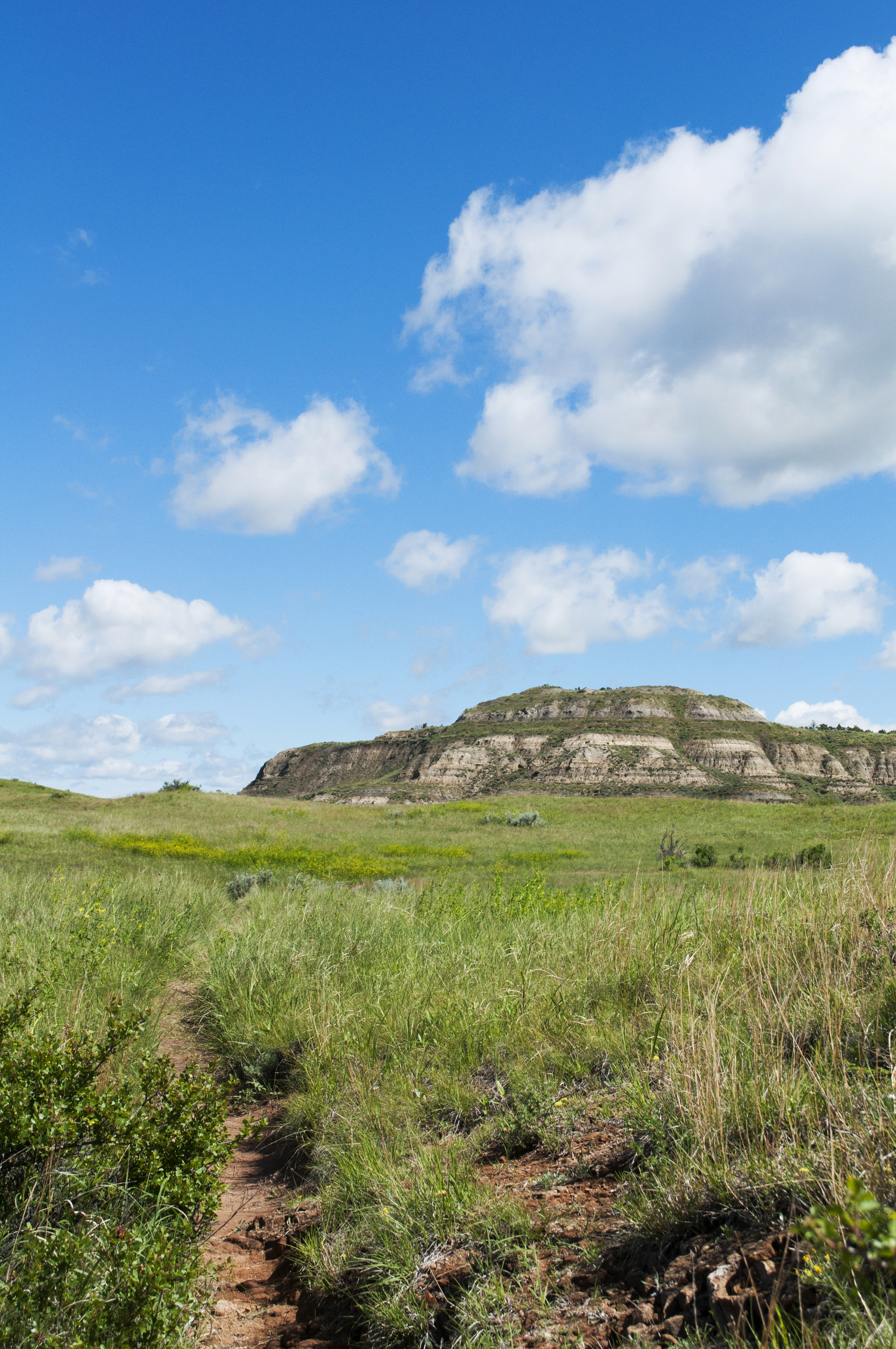 Coal Vein Trail Post 14: GrasslandHikingPhoto: NPS Photo/L. Thomas3 mi
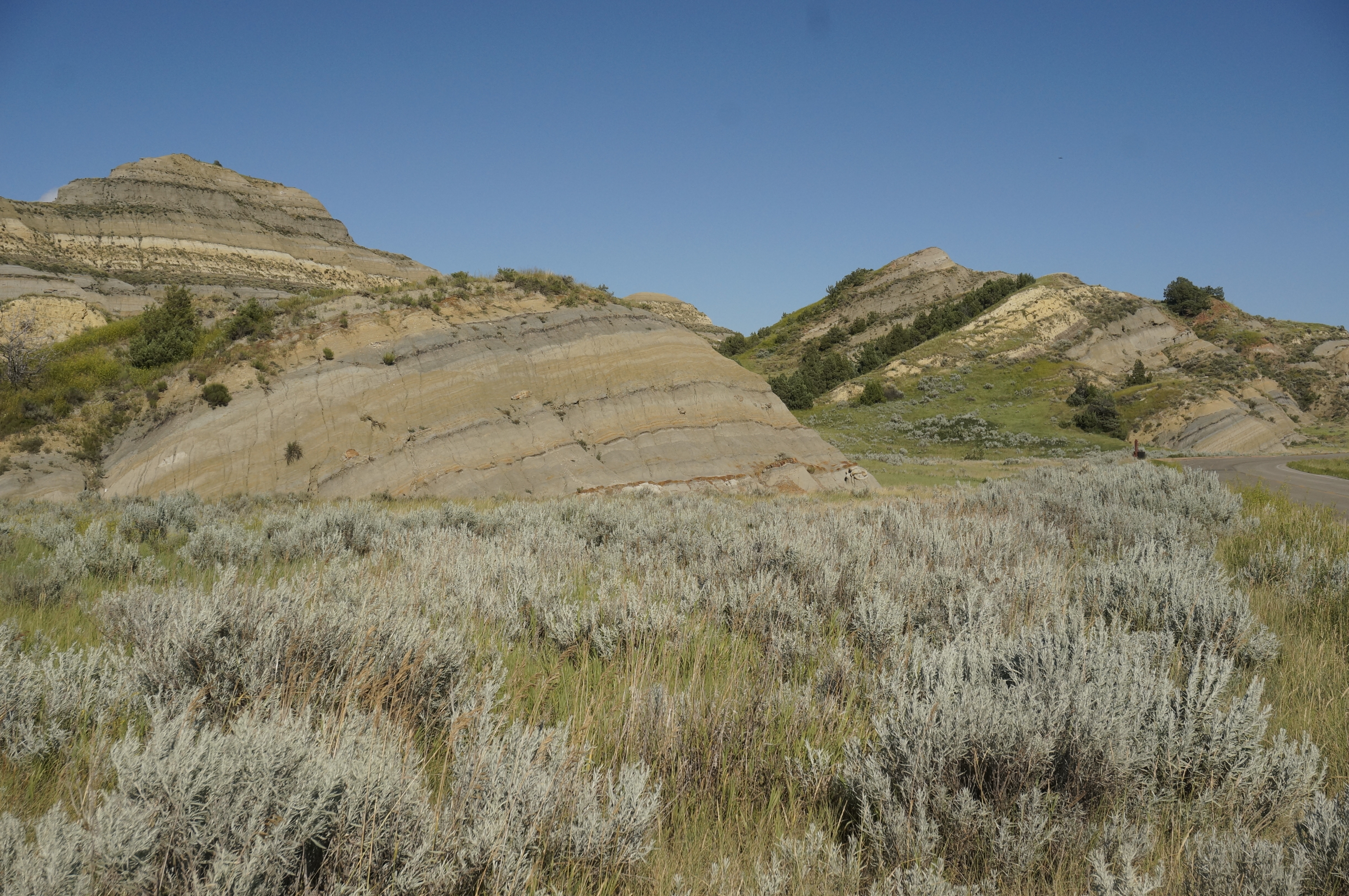 Coal Vein Trail Post 13: SlumpingHikingPhoto: NPS Photo/J. Zylland3 mi
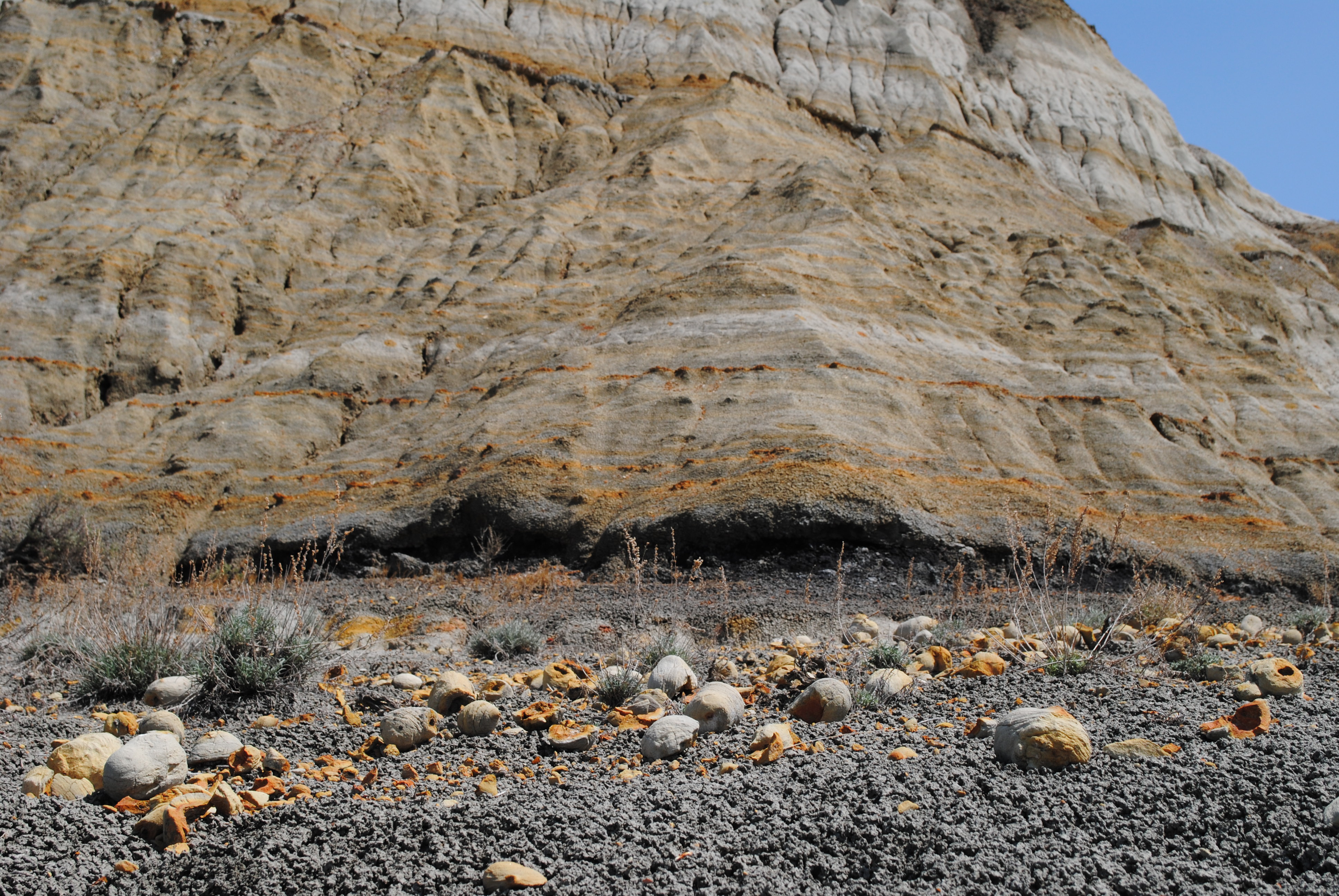 Coal Vein Trail Post 1: LayersHikingPhoto: NPS Photo/L. Thomas3.1 mi
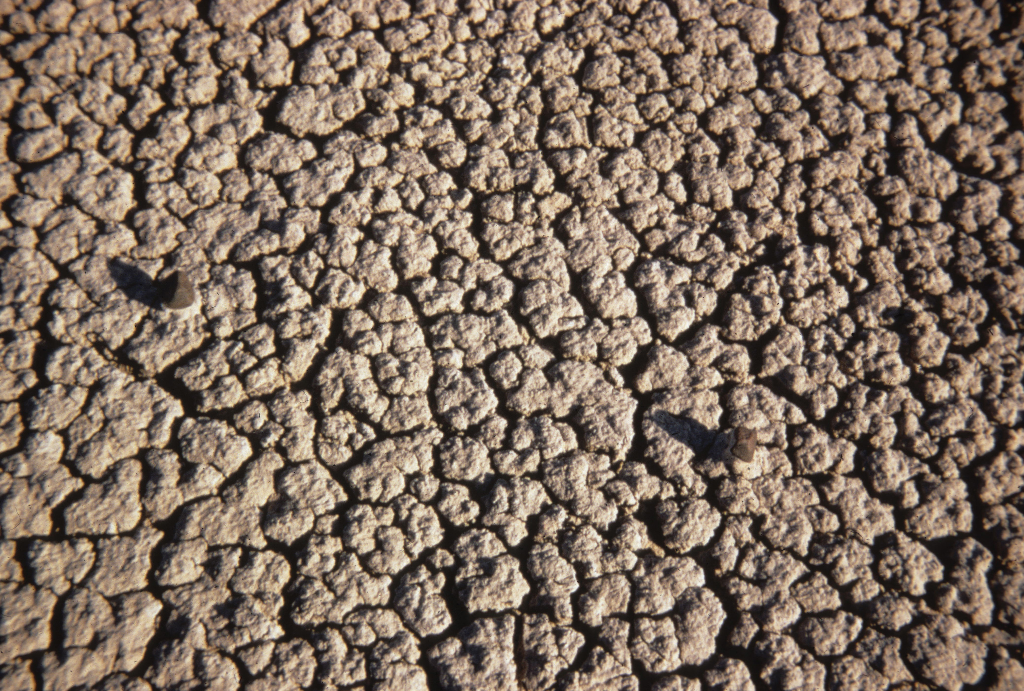 Coal Vein Trail Post 3: BentoniteHikingPhoto: NPS Photo3.2 mi
- Medora Interstate RocksRock climbing6.3 mi
Source: Roamze catalog (indexable pages within 10 miles, PostGIS distance)
- Ridgeline Nature TrailHiking · Next door
 Upper Paddock Creek TrailHiking · ~3 min drivePhoto: Matt-Zimmerman, CC BY 2.0 (via Flickr)
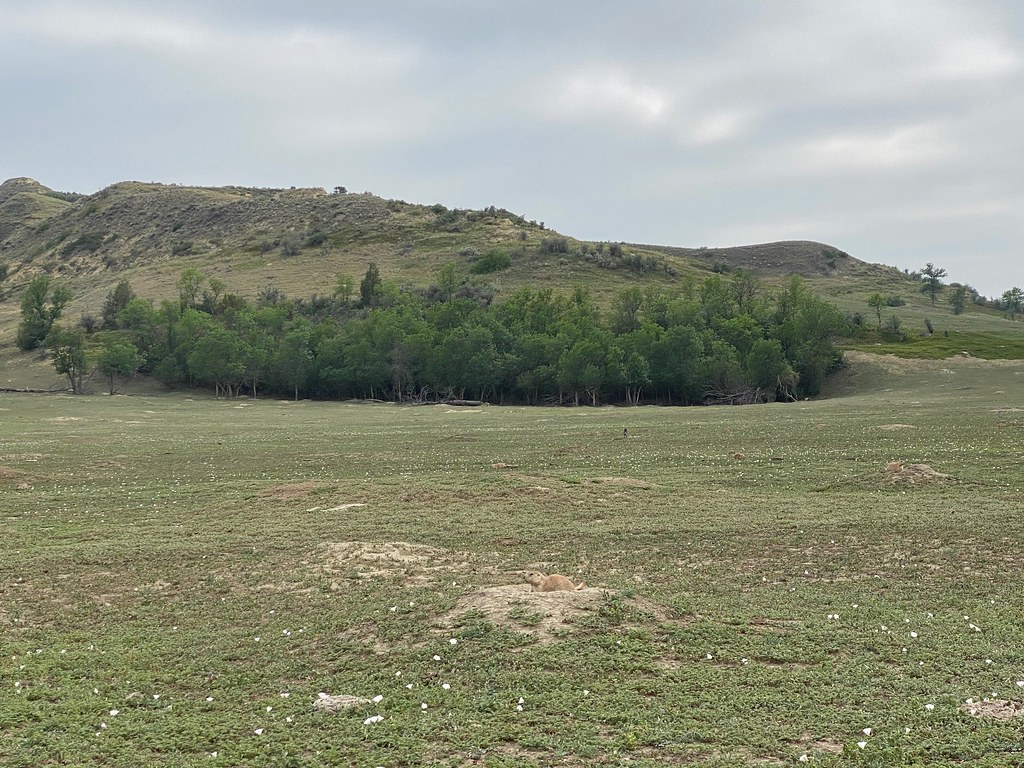 Lone Tree TrailHiking · ~6 min drivePhoto: daveynin, CC BY 2.0 (via Flickr)
 Maah Daah Hey TrailHiking · ~38 min drivePhoto: Forest Service - Northern Region, Public Domain Mark (via Flickr)
 Old East Entrance Station TrailHiking · ~3 min drivePhoto: RuggyBearLA, CC BY-SA 2.0 (via Flickr)
- Buffalo GapHiking · ~18 min drive
 Roundup Camp TrailHiking · ~10 min drivePhoto: Sharon Mollerus, CC BY 2.0 (via Flickr)
- Buffalo GapHiking · ~17 min drive
- East Loop TrailHiking · ~4 min drivePhoto: CLS Rob, CC BY-SA 2.0 (via Flickr)
- Mike Auney TrailHiking · ~11 min drive
Best time to visit Ridgeline Nature Trail
Best months: May–October. Best months have typical highs of 55–85 °F, lows of 30 °F or warmer (32 °F where the station doesn't record snow), at most one snowy day and no more than 12 wet days.
Jan
27° / 9°
8 wet
Feb
29° / 11°
8 wet
Mar
41° / 21°
8 wet
Apr
53° / 31°
8 wet
May
64° / 42°
12 wet
Jun
74° / 52°
12 wet
Jul
82° / 58°
9 wet
Aug
82° / 56°
8 wet
Sep
72° / 46°
7 wet
Oct
55° / 34°
8 wet
Nov
40° / 21°
7 wet
Dec
29° / 11°
8 wet
Typical high / low (°F) and days with rain or snow, 1991–2020. Measured at Medora 7 E, ND, 4.6 mi away at 2,771 ft. This station doesn't record snowfall. Source: NOAA NCEI U.S. Climate Normals 1991–2020.
Map and trail data © OpenStreetMap contributors
