Upper Paddock Creek Trail
 Photo: Matt-Zimmerman, CC BY 2.0 (via Flickr)
- 7.7 mi
- round trip
- 752 ft
- climb
- Out and back
- route
- Hard
- difficulty
- May–Oct
- best months
Is Upper Paddock Creek Trail open right now?
No closures listed
The National Park Service lists no closures for Theodore Roosevelt National Park.
As of · Source: NPS · Theodore Roosevelt National Park. Agencies don't list every closure — check before you go.
Upper Paddock Creek Trail is a 15.44-mile out-and-back trail in North Dakota with 752 feet of elevation gain. The trail follows Paddock Creek through the landscape of the region.
- Nearby · Old East Entrance Station Trail · Lone Tree Trail · Buffalo Gap
Best time to go · May–Oct
Best time to visit Upper Paddock Creek Trail
Best months: May–October. Best months have typical highs of 55–85 °F, lows of 30 °F or warmer (32 °F where the station doesn't record snow), at most one snowy day and no more than 12 wet days.
Jan
27° / 9°
8 wet
Feb
29° / 11°
8 wet
Mar
41° / 21°
8 wet
Apr
53° / 31°
8 wet
May
64° / 42°
12 wet
Jun
74° / 52°
12 wet
Jul
82° / 58°
9 wet
Aug
82° / 56°
8 wet
Sep
72° / 46°
7 wet
Oct
55° / 34°
8 wet
Nov
40° / 21°
7 wet
Dec
29° / 11°
8 wet
Typical high / low (°F) and days with rain or snow, 1991–2020. Measured at Medora 7 E, ND, 3.7 mi away at 2,771 ft. We don't have this place's elevation, so higher spots nearby can run cooler. This station doesn't record snowfall. Source: NOAA NCEI U.S. Climate Normals 1991–2020.
Keep exploring — more trails worth the drive
 Photo: RuggyBearLA, CC BY-SA 2.0 (via Flickr)
Old East Entrance Station Trail
~2 min drive
1.02-mile out-and-back trail in North Dakota with 10 feet of elevation gain.
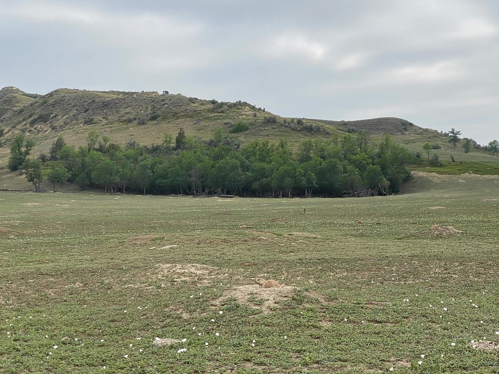 Photo: daveynin, CC BY 2.0 (via Flickr)
Lone Tree Trail
~7 min drive
7.88-mile out-and-back hike in North Dakota with 468 ft elevation gain.
HIKE
Buffalo Gap
~19 min drive
37.76-mile out-and-back trail in North Dakota with 1,448 ft gain.
HIKE
Buffalo Gap
~20 min drive
11.90-mile out-and-back trail in North Dakota with 627 ft elevation gain.
HIKE
Coal Vein Trail Post 14: Grassland
~2 min drive
When the underground coal fire was burning, this area looked more like a wasteland than a grassland. After the fire burned out, prairie plants reclaimed the land slowly over time. From a distance, prairie may look plain, but it is actually one of the most diverse ecosystems…
 Photo: Sharon Mollerus, CC BY 2.0 (via Flickr)
Roundup Camp Trail
~9 min drive
6.48-mile out-and-back hike in North Dakota with 412 ft of elevation gain.
HIKE
Coal Vein Trail Post 13: Slumping
~3 min drive
The hill in front of you has the appearance of sliding slowly into a jumble. That is exactly what it is doing through a process called slumping. When the coal vein burned under this area, cracks formed in the hillside. Rain flowing into the cracks weakens the hill…
HIKE
Upper Talkington Trail
~10 min drive
7.96-mile out-and-back hike in North Dakota with 388 ft elevation gain.
HIKE
Coal Vein Trail Post 1: Layers
~3 min drive
Each layer of rock has its own origin story, told by its color. Brick-Red Clinker forms when coal veins catch fire and bake the rock above, changing it into this much harder, red rock. Brown and Tan Sandstone, siltstone, and mudstone are sediments washed down from the Rocky…
HIKE
Mike Auney Trail
~11 min drive
5.58-mile out-and-back trail in North Dakota with 502 ft elevation gain.
