Coal Vein Trail Post 3: Bentonite
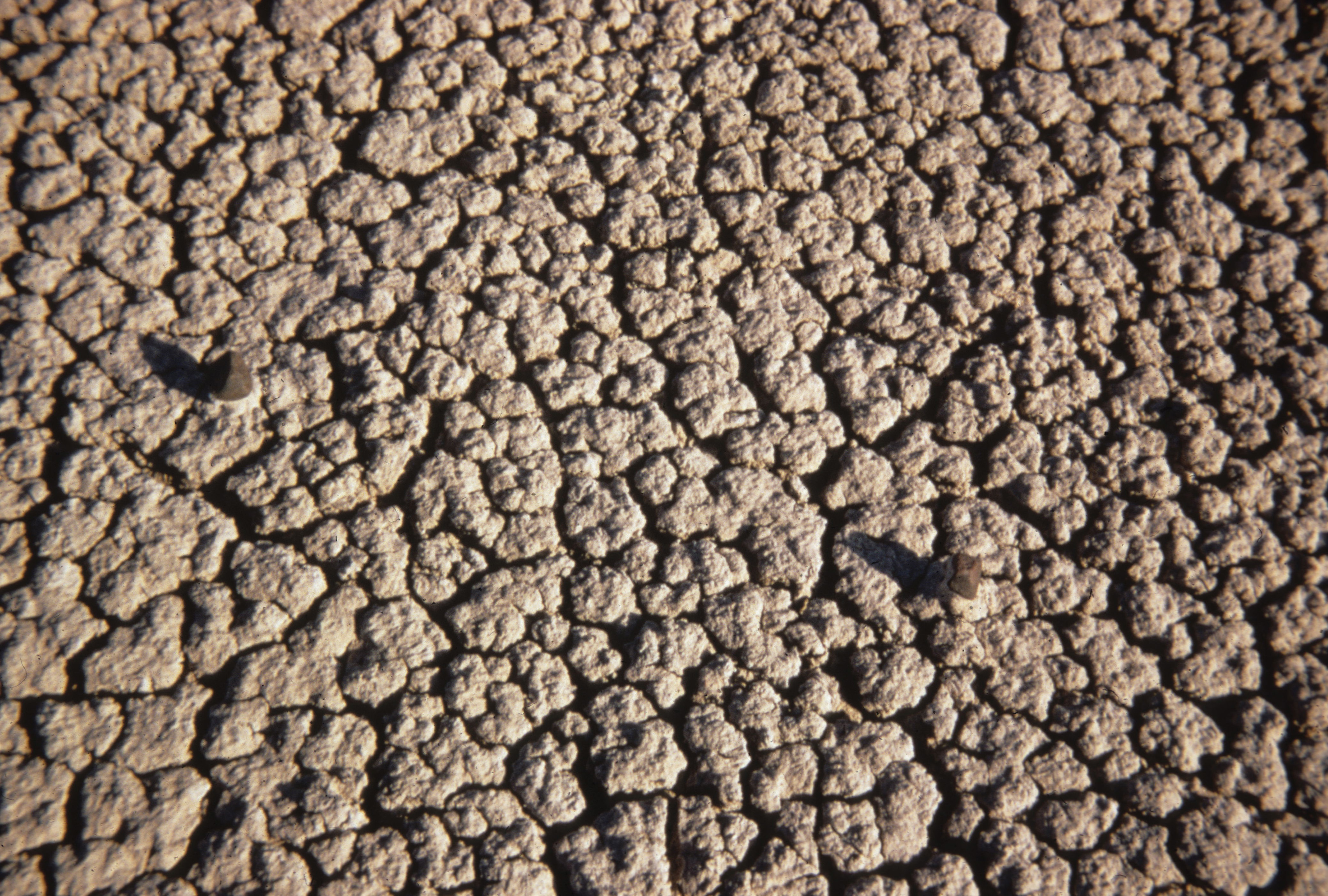 Photo: NPS Photo
- 0.8 mi
- loop
- 10 ft
- climb
- 2,505 ft
- high point
- Loop
- route
- May–Oct
- best months
Is Coal Vein Trail Post 3: Bentonite open right now?
No closures listed
The National Park Service lists no closures for Theodore Roosevelt National Park.
As of · Source: NPS · Theodore Roosevelt National Park. Agencies don't list every closure — check before you go.
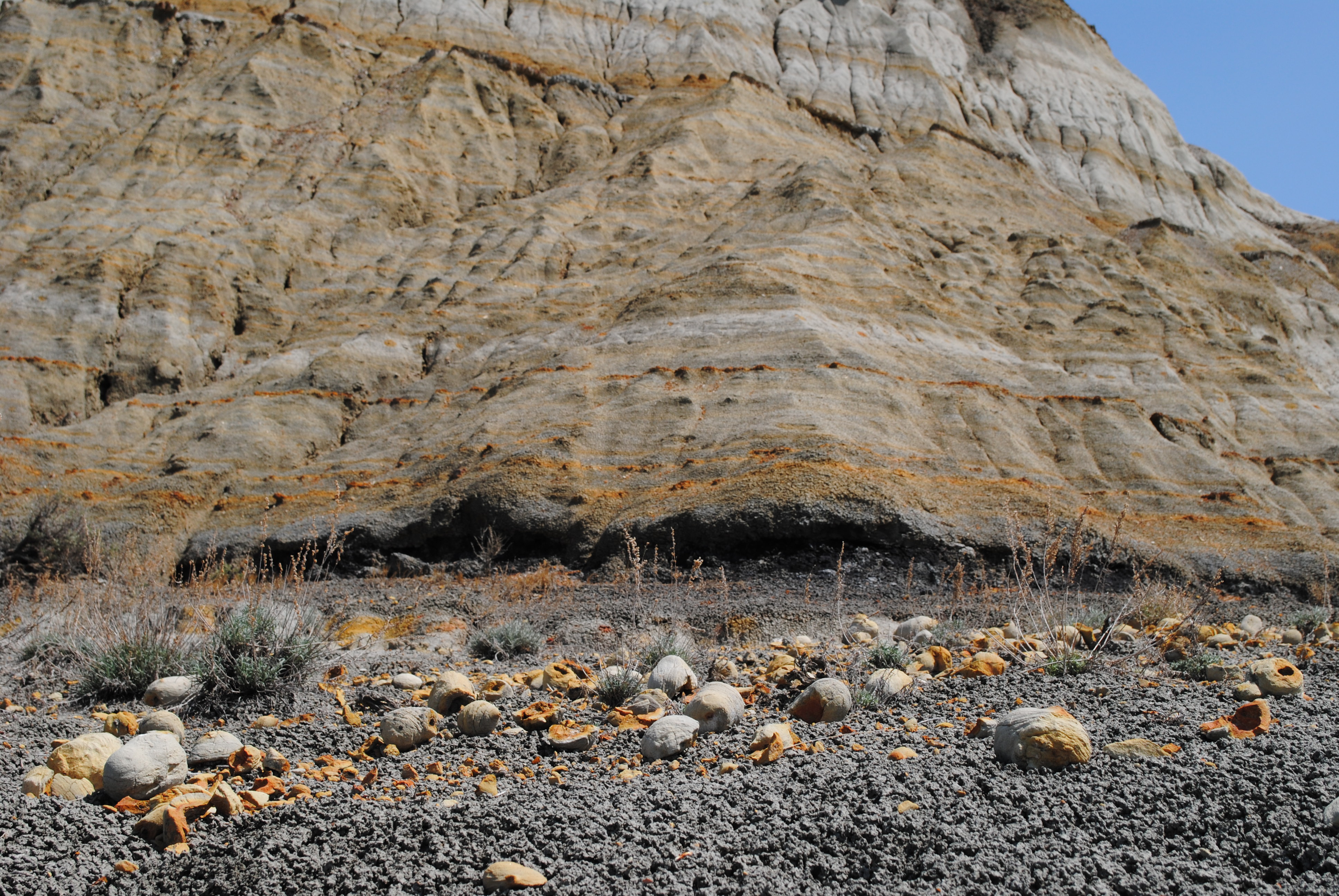
Coal Vein Trail Post 3: Bentonite is a short, easy walk of about 0.76 miles in Theodore Roosevelt National Park in North Dakota, managed by the National Park Service. It is a loop that stays within a few feet of elevation, with a high point of about 2505 feet and a low of about 2464 feet. The trail is part of a guided nature trail with several posts, and this one focuses on bentonite clay. Fifty-five million years ago, volcanic ash from the Rockies settled in wet areas here, forming the sticky, absorbent clay. It can take in up to five times its weight in water, and it has countless uses, from sealing landfills to making cat litter. Stay to the left to continue on the guided nature trail. A cutoff trail on the right leads around a section with very steep stairs, and it rejoins the main trail near post #11. Summer is the most comfortable time to visit. Typical July highs reach about 82°F with lows near 58°F, based on averages from a nearby weather station in Medora. September is milder, with typical highs around 72°F and the fewest wet days of the year. Several other Coal Vein Trail posts sit about 0.1 mile away, including Post 4: Caprocks and Post 6: Seasonal Pool. Little Missouri National Grassland and the Medora Interstate Rocks climbing area are within about 10 miles.
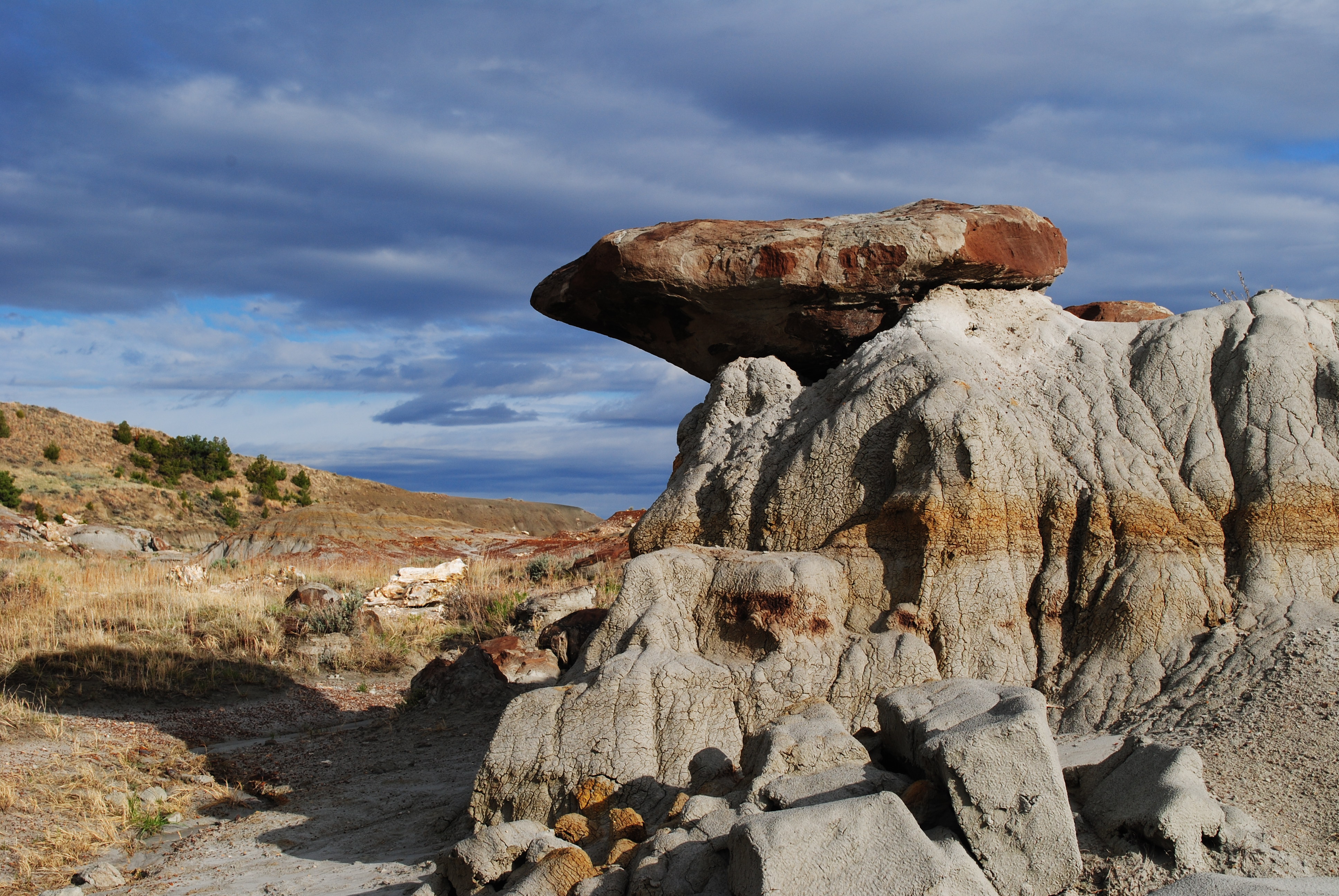 Coal Vein Trail Post 4: CaprocksHikingPhoto: NPS Photo/L. Thomas0.1 mi
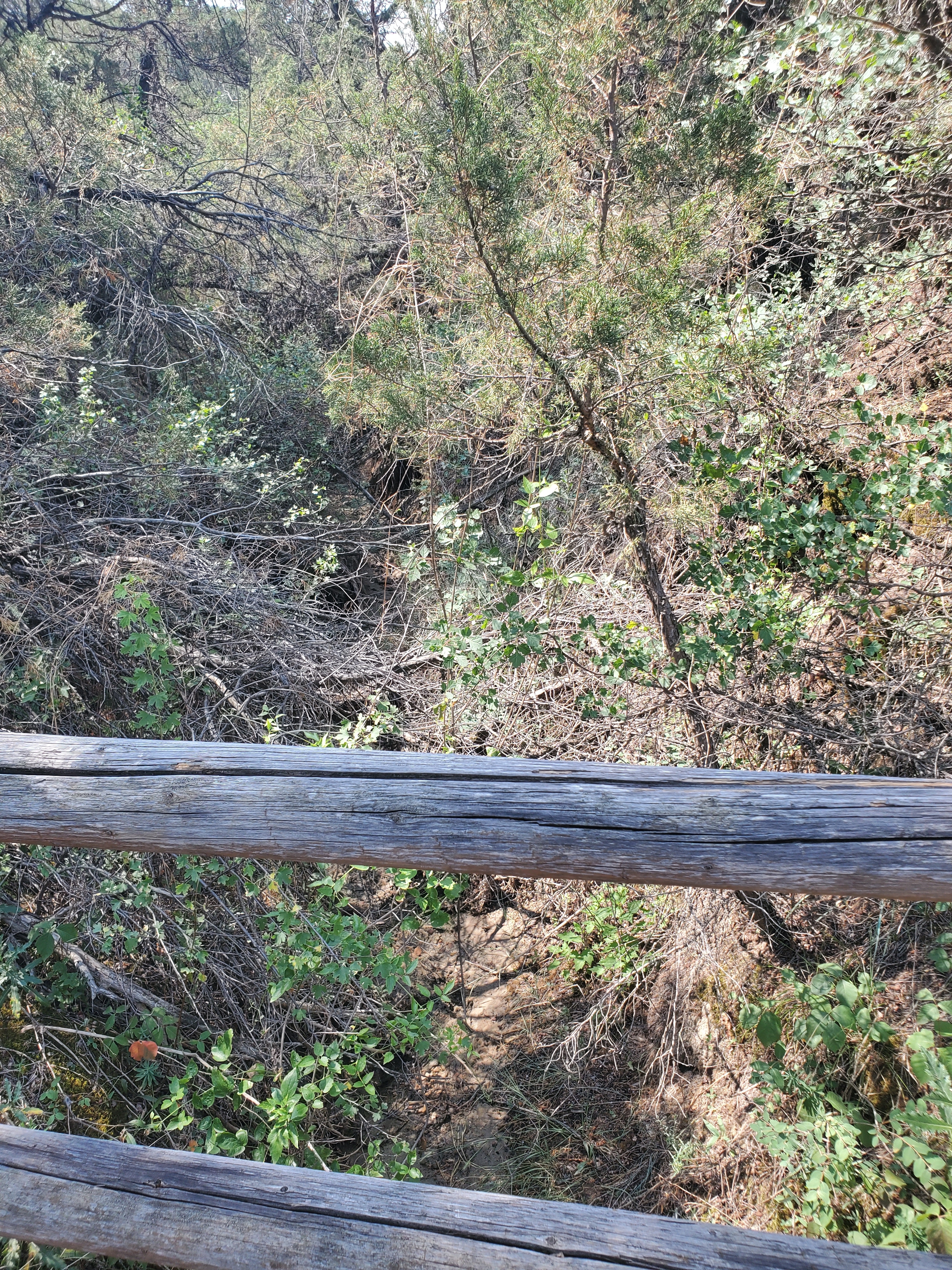 Coal Vein Trail Post 10: Seasonal StreamHikingPhoto: NPS Photo/L. Eddy0.1 mi
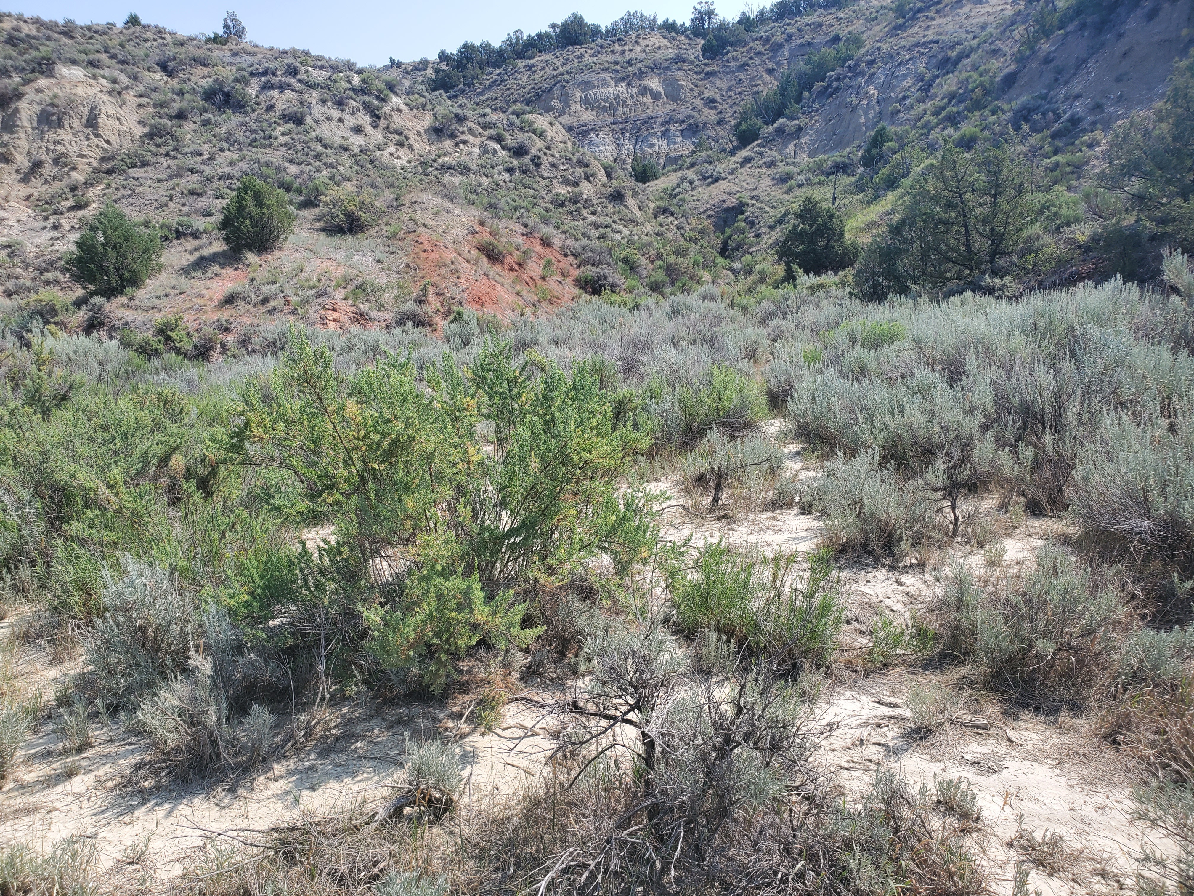 Coal Vein Trail Post 6: Seasonal PoolHikingPhoto: NPS Photo/L. Eddy0.1 mi
 Coal Vein Trail Post 1: LayersHikingPhoto: NPS Photo/L. Thomas0.1 mi
 Coal Vein Trail Post 9: ClinkerHikingPhoto: NPS Photo/L. Thomas0.1 mi
 Coal Vein Trail Post 7: Burn OutHikingPhoto: NPS Photo0.1 mi
- Little Missouri National GrasslandLake fishing6 mi
- Medora Interstate RocksRock climbing9.4 mi
Source: Roamze catalog (indexable pages within 10 miles, PostGIS distance)
- Coal Vein Trail Post 4: CaprocksHiking · Next door
 Upper Paddock Creek TrailHiking · ~3 min drivePhoto: Matt-Zimmerman, CC BY 2.0 (via Flickr)
 Lone Tree TrailHiking · ~9 min drivePhoto: daveynin, CC BY 2.0 (via Flickr)
 Maah Daah Hey TrailHiking · ~39 min drivePhoto: Forest Service - Northern Region, Public Domain Mark (via Flickr)
- Coal Vein Trail Post 10: Seasonal StreamHiking · Next door
- Buffalo GapHiking · ~23 min drive
 Roundup Camp TrailHiking · ~12 min drivePhoto: Sharon Mollerus, CC BY 2.0 (via Flickr)
- Buffalo GapHiking · ~22 min drive
- Coal Vein Trail Post 6: Seasonal PoolHiking · Next door
- Upper Talkington TrailHiking · ~7 min drive
Best time to visit Coal Vein Trail Post 3: Bentonite
Best months: May–October. Best months have typical highs of 55–85 °F, lows of 30 °F or warmer (32 °F where the station doesn't record snow), at most one snowy day and no more than 12 wet days.
Jan
27° / 9°
8 wet
Feb
29° / 11°
8 wet
Mar
41° / 21°
8 wet
Apr
53° / 31°
8 wet
May
64° / 42°
12 wet
Jun
74° / 52°
12 wet
Jul
82° / 58°
9 wet
Aug
82° / 56°
8 wet
Sep
72° / 46°
7 wet
Oct
55° / 34°
8 wet
Nov
40° / 21°
7 wet
Dec
29° / 11°
8 wet
Typical high / low (°F) and days with rain or snow, 1991–2020. Measured at Medora 7 E, ND, 2.3 mi away at 2,771 ft. This station doesn't record snowfall. Source: NOAA NCEI U.S. Climate Normals 1991–2020.
