Maah Daah Hey Trail
 Photo: Forest Service - Northern Region, Public Domain Mark (via Flickr)
- 144 mi
- one way
- 13,223 ft
- climb
- 2,940 ft
- high point
- Point to point
- route
- May–Jun, Sep–Oct
- best months
Caution at last check
Agency alerts are in effect for this area; weather is good · USFS, OpenWeather · checked 12 h ago
Is Maah Daah Hey Trail open right now?
Alert in the area
The Forest Service lists 5 alerts for Dakota Prairie Grasslands.
Firewood Use and Possession Restrictions
Agency alert covering Dakota Prairie Grasslands · USFS · Dakota Prairie Grasslands
Road Closure-NFSR 735A-9
Agency alert covering Medora Ranger District · USFS · Medora Ranger District
Little Missouri National Grassland Fire Closure Order # 01-18-00-26-02
Agency alert covering Dakota Prairie Grasslands · USFS · Dakota Prairie Grasslands
South Dakota Grassland Fire Danger Map
Agency alert covering Dakota Prairie Grasslands · USFS · Dakota Prairie Grasslands
North Dakota Burn Restrictions & Fire Danger Maps
Agency alert covering Dakota Prairie Grasslands · USFS · Dakota Prairie Grasslands
As of · Source: USFS · Dakota Prairie Grasslands. Agencies don't list every closure — check before you go.
The Maah Daah Hey Trail is a 144-mile point-to-point route in the Medora Ranger District of the Dakota Prairie Grasslands, managed by the Forest Service. It is an expert-level hike, with a total elevation gain of about 13,200 feet, and it starts at roughly 2,500 feet, rising to a high point of about 2,940 feet. Summer is the most comfortable time to go. Typical averages from the nearby Amidon weather station show July and August highs around 86°F with lows in the mid-50s, while winter highs stay in the 20s and 30s. Bikes are allowed on the trail. Burning Coal Vein campground sits just 0.1 mile away, and the Little Missouri River, a canoeing route, is about 4.5 miles off.
Best time to go · May–Jun, Sep–Oct
Best time to visit Maah Daah Hey Trail
Best months: May–June and September–October. Best months have typical highs of 55–85 °F, lows of 30 °F or warmer (32 °F where the station doesn't record snow), at most one snowy day and no more than 12 wet days.
Jan
29° / 7°
Feb
33° / 11°
Mar
44° / 20°
Apr
56° / 30°
May
66° / 41°
Jun
77° / 51°
Jul
86° / 57°
Aug
86° / 54°
Sep
75° / 46°
Oct
58° / 33°
Nov
43° / 21°
Dec
32° / 11°
Typical high / low (°F) and days with rain or snow, 1991–2020. Measured at Amidon, ND, 9.9 mi away at 2,910 ft. This station doesn't record snowfall. Source: NOAA NCEI U.S. Climate Normals 1991–2020.
Keep exploring — more trails worth the drive
 Photo: CLS Rob, CC BY-SA 2.0 (via Flickr)
Maah Daah Hey
~35 min drive
0.37-mile out-and-back trail in North Dakota with 15 ft of elevation gain.
 Photo: Matt-Zimmerman, CC BY 2.0 (via Flickr)
Upper Paddock Creek Trail
~40 min drive
15.44-mile out-and-back trail in North Dakota with 752 ft gain.
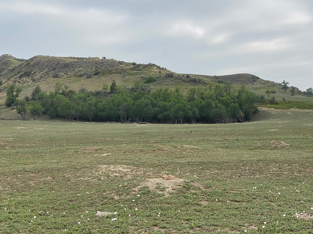 Photo: daveynin, CC BY 2.0 (via Flickr)
Lone Tree Trail
~43 min drive
7.88-mile out-and-back hike in North Dakota with 468 ft elevation gain.
HIKE
Buffalo Gap
~48 min drive
37.76-mile out-and-back trail in North Dakota with 1,448 ft gain.
 Photo: daveynin, CC BY 2.0 (via Flickr)
Painted Canyon Loop Trail
~36 min drive
Scenic point-to-point badlands trail featuring colorful canyon formations.
HIKE
Buffalo Gap
~51 min drive
11.90-mile out-and-back trail in North Dakota with 627 ft elevation gain.
 Photo: Sharon Mollerus, CC BY 2.0 (via Flickr)
Roundup Camp Trail
~48 min drive
6.48-mile out-and-back hike in North Dakota with 412 ft of elevation gain.
HIKE
Painted Canyon Nature Trail
~36 min drive
The descent seen at this stop is the beginning of the Painted Canyon Nature Trail! This quick 1-mile hike is a great introduction to the various habitat types that are not only present in this area but also the park as a whole. As you walk the beginning of the trail, you…
HIKE
Upper Talkington Trail
~39 min drive
7.96-mile out-and-back hike in North Dakota with 388 ft elevation gain.
HIKE
Painted Canyon Trail
~36 min drive
Just before you lies the beginning of the Painted Canyon Trail! This 4.3-mile-long trail offers a great pathway into the canyon I just discussed. You will descend to the canyon floor, where you will be able to fully experience the great scenery Painted Canyon has to offer.…

Map and trail data © OpenStreetMap contributors
