Coal Vein Trail Post 1: Layers
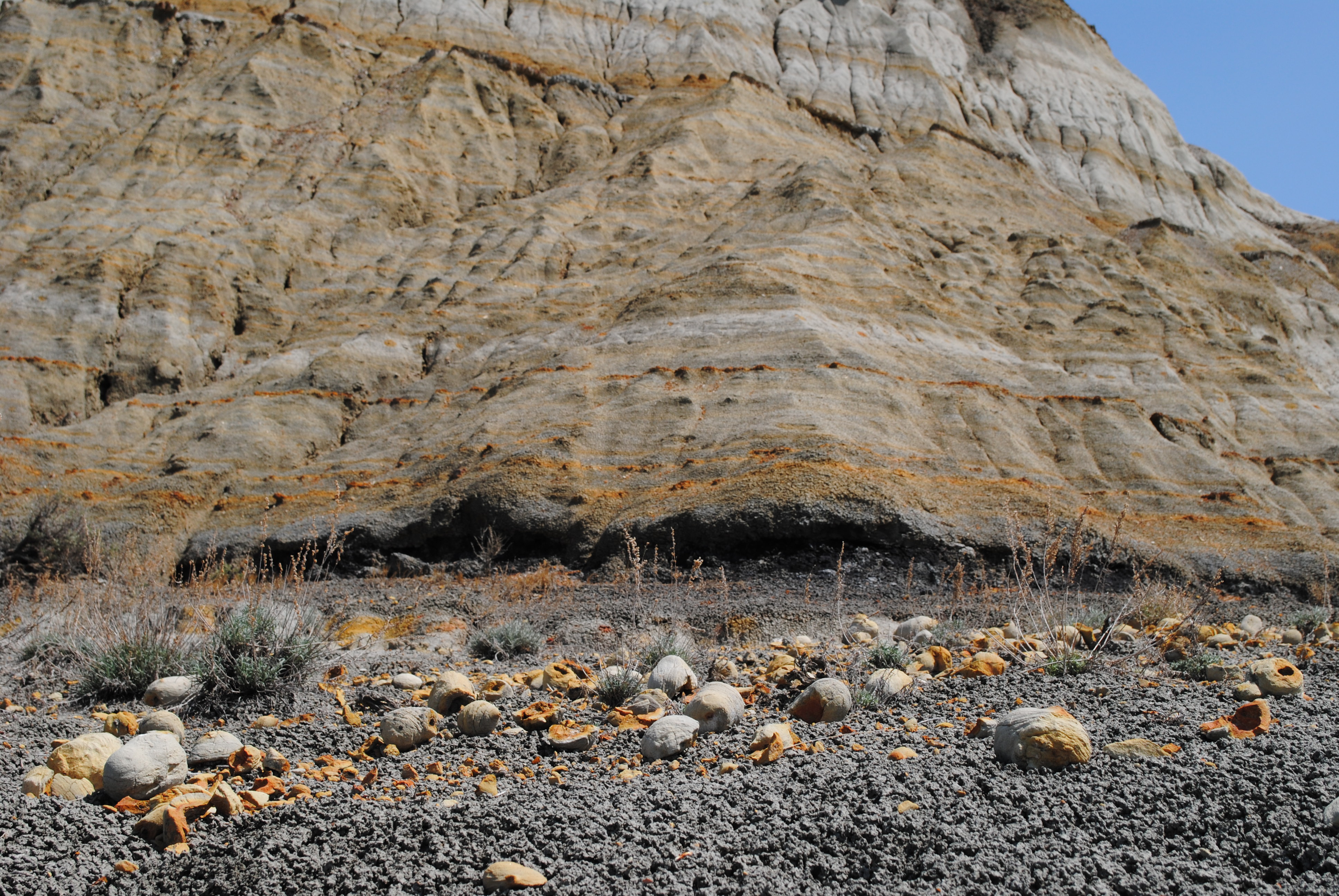 Photo: NPS Photo/L. Thomas
- 0.8 mi
- loop
- 10 ft
- climb
- 2,505 ft
- high point
- Loop
- route
- May–Oct
- best months
Is Coal Vein Trail Post 1: Layers open right now?
No closures listed
The National Park Service lists no closures for Theodore Roosevelt National Park.
As of · Source: NPS · Theodore Roosevelt National Park. Agencies don't list every closure — check before you go.
Coal Vein Trail Post 1: Layers is a short, easy loop in Theodore Roosevelt National Park in North Dakota, managed by the National Park Service. The trail is about 0.76 miles long, with a total elevation gain of 10 feet, and it starts and ends at nearly the same elevation, around 2,500 feet. The trail is a geology lesson in layers. Each rock layer tells a different story. Brick-red clinker forms when coal veins catch fire and bake the rock above. Brown and tan sandstone, siltstone and mudstone were sediments washed down from the Rocky Mountains. Black coal is the remains of ancient plants and animals that lived in Everglades-like swamps. Blue-grey bentonite clay comes from ash from distant volcanoes. Summer is the most comfortable time to visit. Typical averages from a nearby weather station in Medora show July and August highs around 82°F with lows in the mid-50s, while winter highs stay in the 20s. A fee is charged for the visit. Several other trail posts sit about 0.1 mile away, including Post 3: Bentonite and Post 13: Slumping. Little Missouri National Grassland is about 6 miles off, and Medora Interstate Rocks, a climbing area, is about 9 miles away.
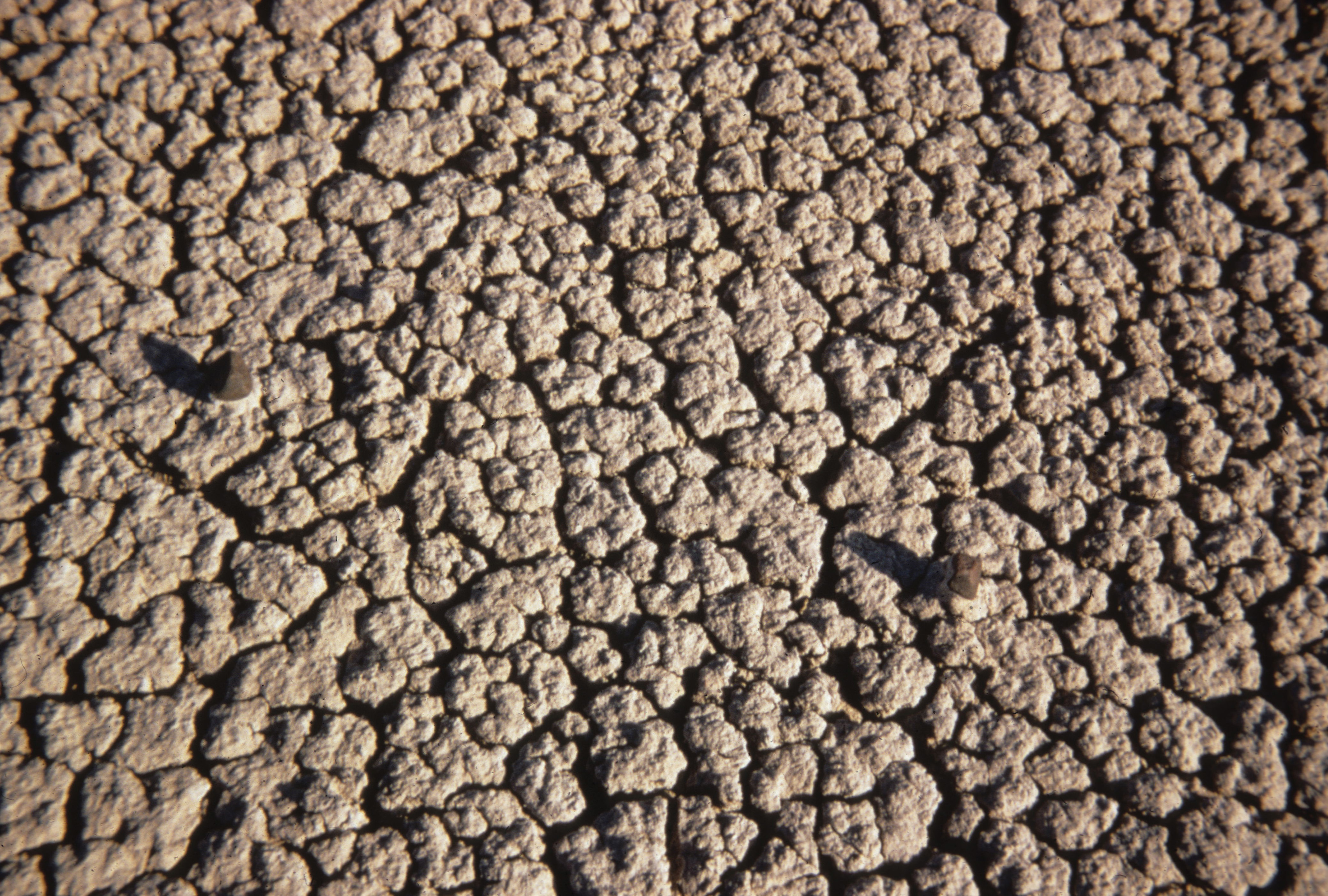 Coal Vein Trail Post 3: BentoniteHikingPhoto: NPS Photo0.1 mi
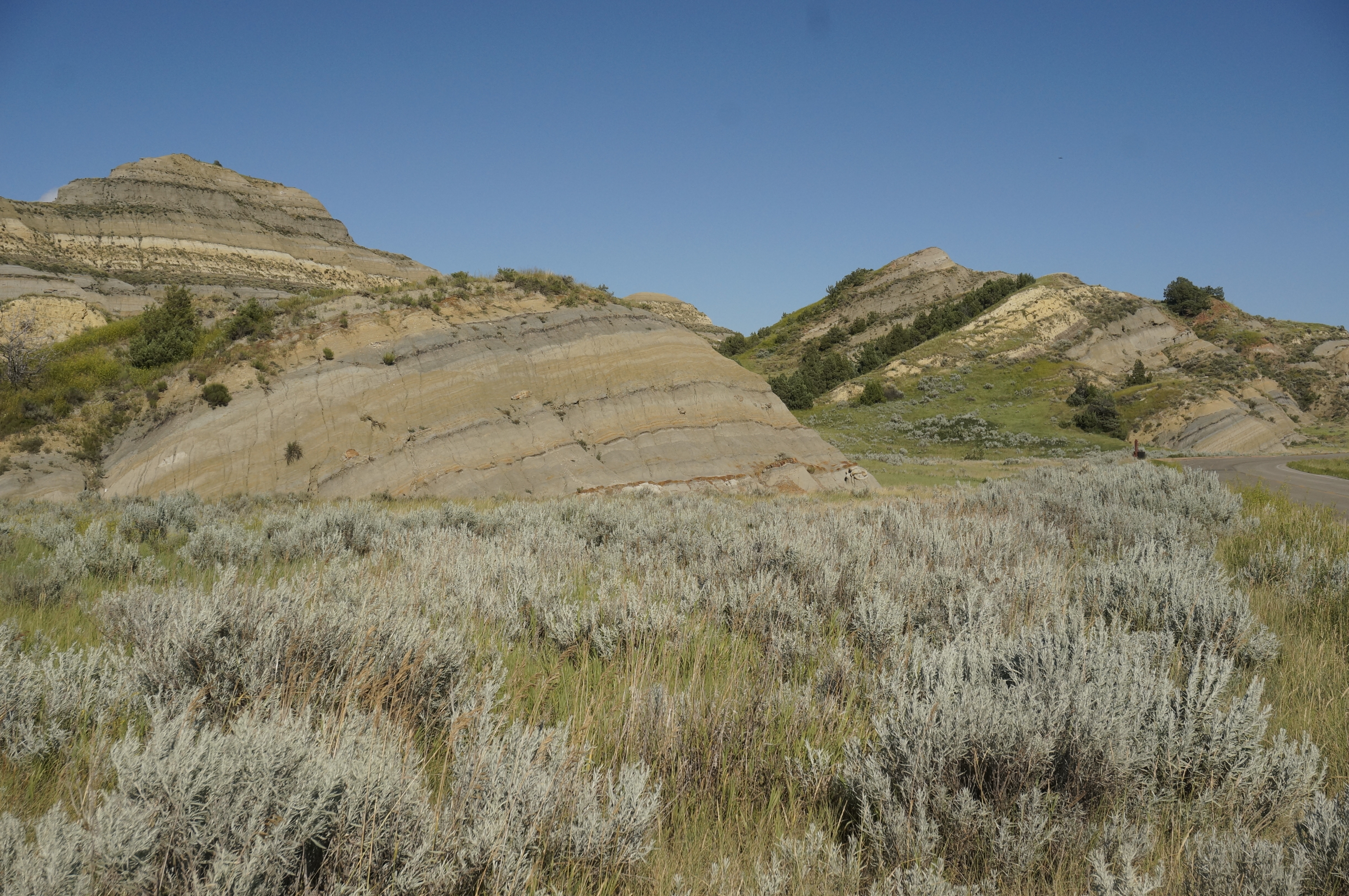 Coal Vein Trail Post 13: SlumpingHikingPhoto: NPS Photo/J. Zylland0.1 mi
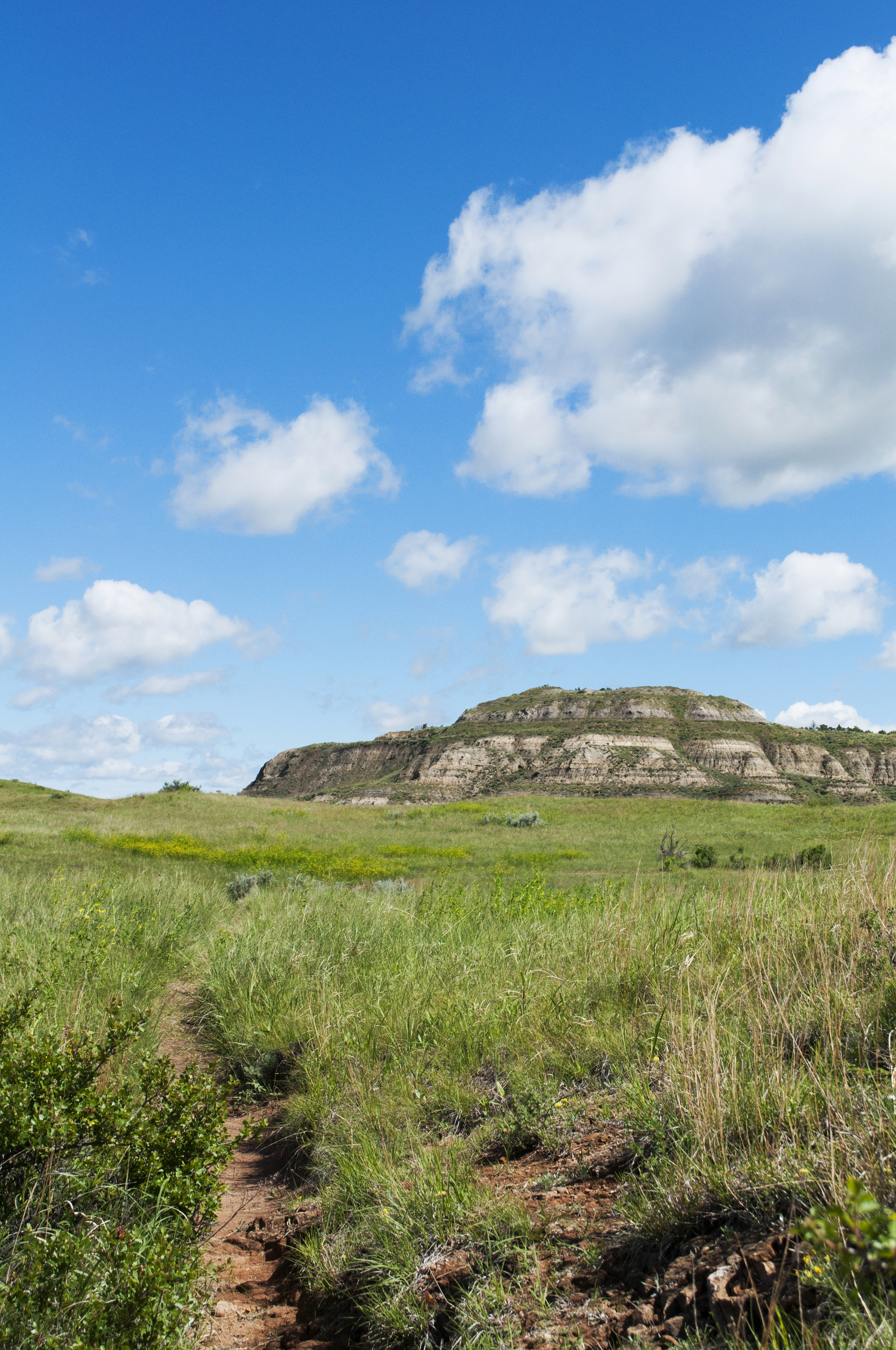 Coal Vein Trail Post 14: GrasslandHikingPhoto: NPS Photo/L. Thomas0.1 mi
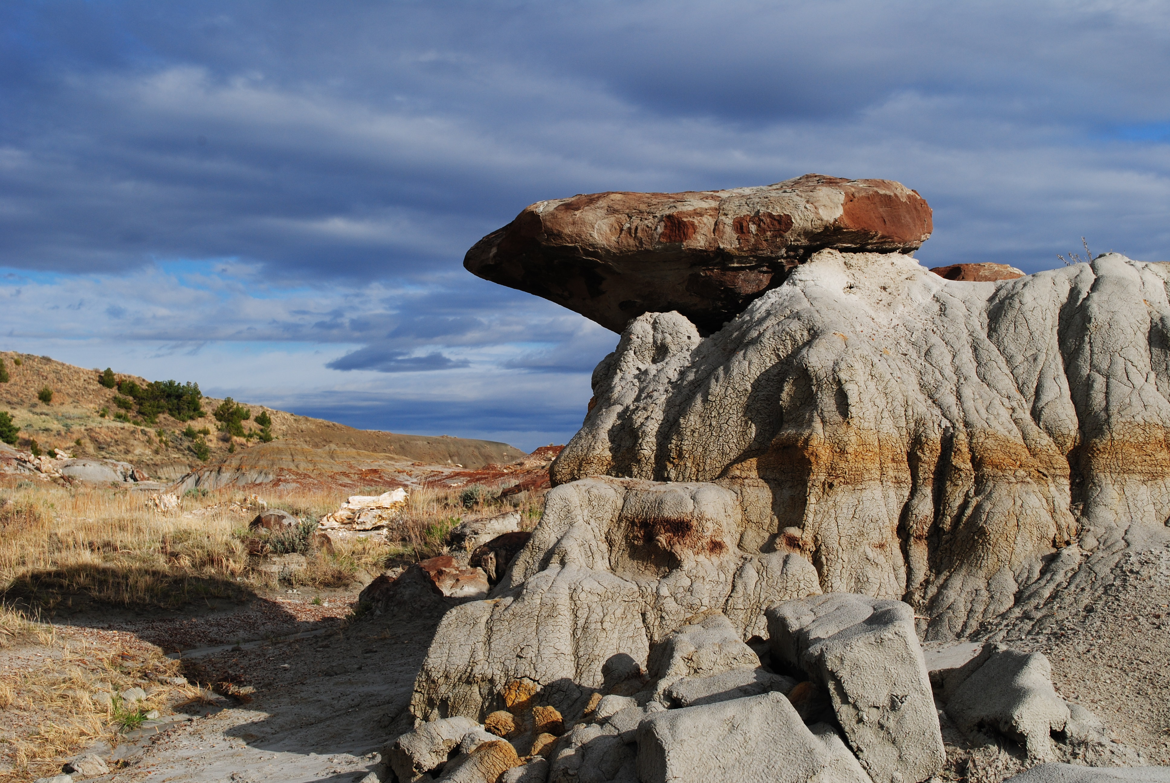 Coal Vein Trail Post 4: CaprocksHikingPhoto: NPS Photo/L. Thomas0.1 mi
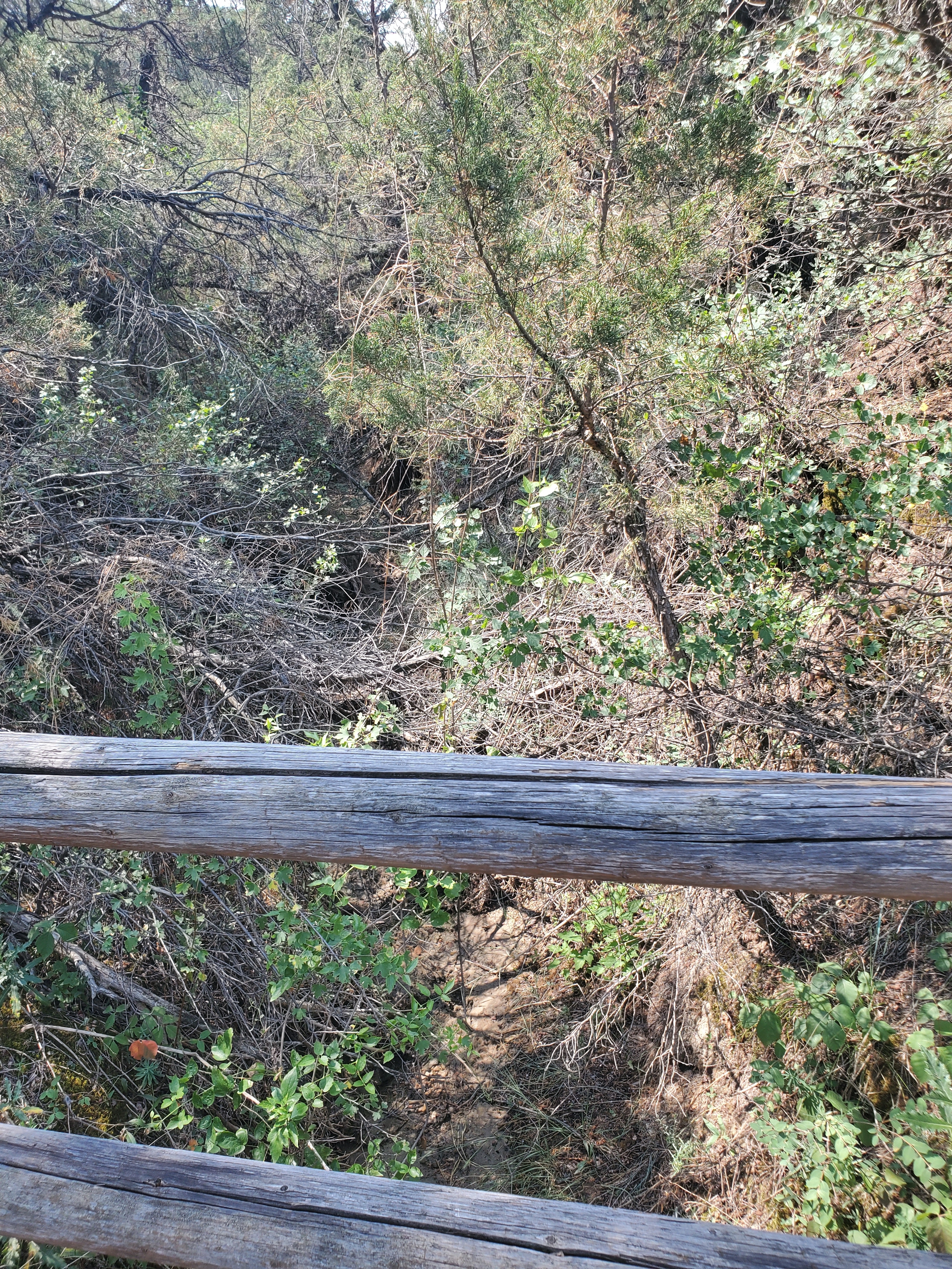 Coal Vein Trail Post 10: Seasonal StreamHikingPhoto: NPS Photo/L. Eddy0.2 mi
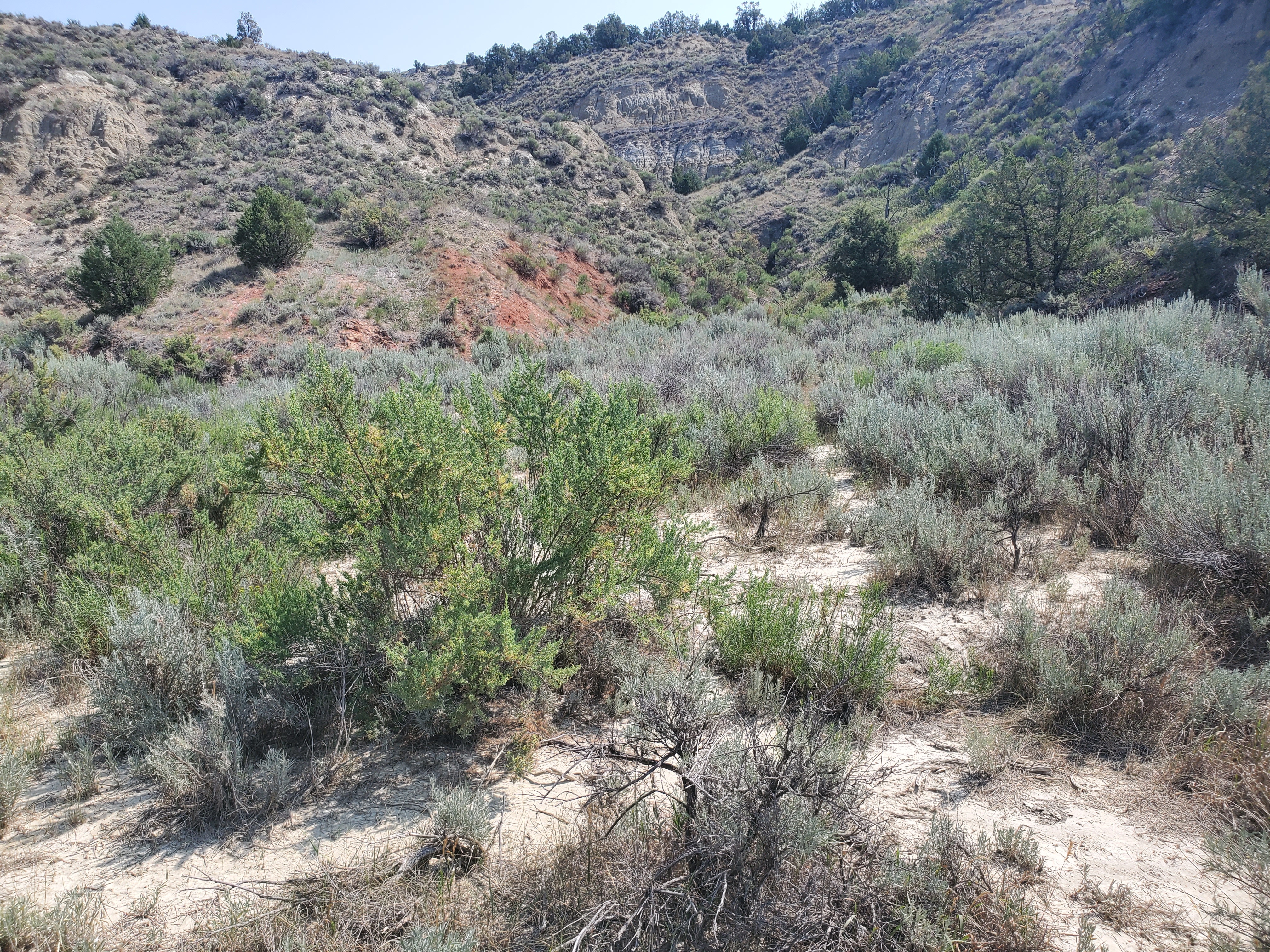 Coal Vein Trail Post 6: Seasonal PoolHikingPhoto: NPS Photo/L. Eddy0.2 mi
- Little Missouri National GrasslandLake fishing5.9 mi
- Medora Interstate RocksRock climbing9.3 mi
Source: Roamze catalog (indexable pages within 10 miles, PostGIS distance)
- Coal Vein Trail Post 3: BentoniteHiking · Next door
 Upper Paddock Creek TrailHiking · ~3 min drivePhoto: Matt-Zimmerman, CC BY 2.0 (via Flickr)
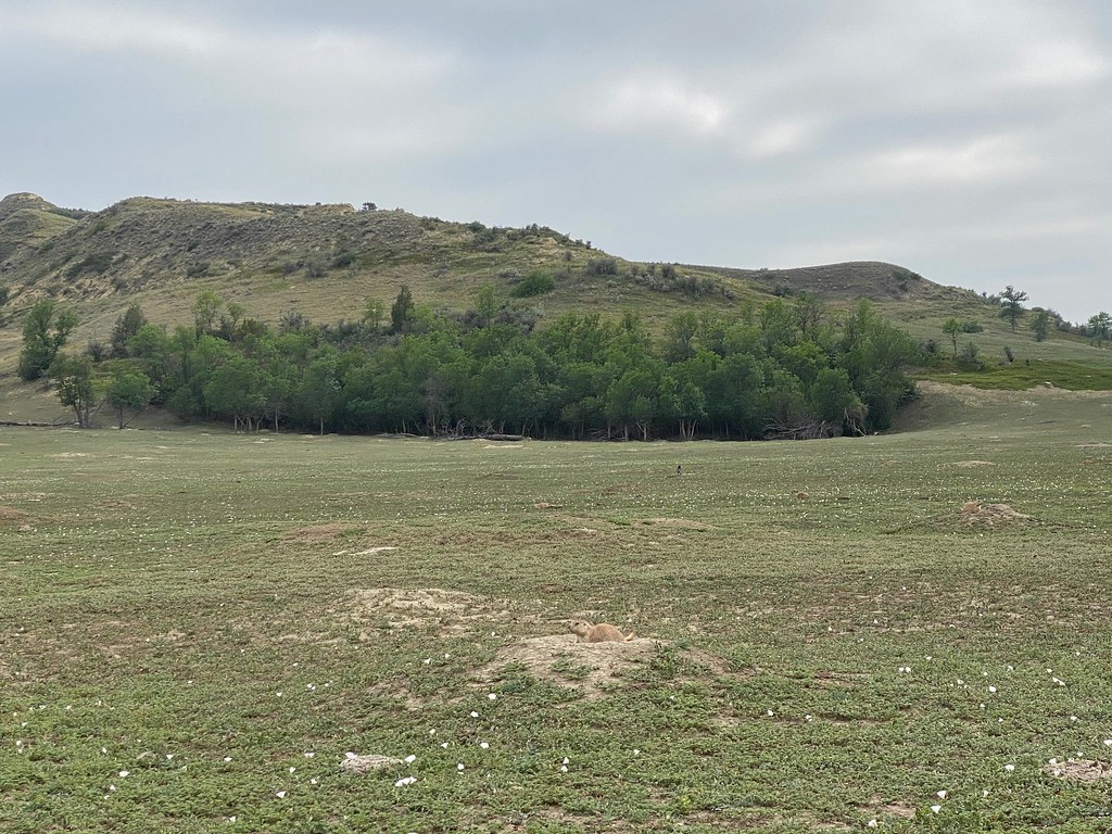 Lone Tree TrailHiking · ~9 min drivePhoto: daveynin, CC BY 2.0 (via Flickr)
 Maah Daah Hey TrailHiking · ~39 min drivePhoto: Forest Service - Northern Region, Public Domain Mark (via Flickr)
- Coal Vein Trail Post 13: SlumpingHiking · Next door
- Buffalo GapHiking · ~23 min drive
 Roundup Camp TrailHiking · ~12 min drivePhoto: Sharon Mollerus, CC BY 2.0 (via Flickr)
- Buffalo GapHiking · ~22 min drive
- Coal Vein Trail Post 14: GrasslandHiking · Next door
- Upper Talkington TrailHiking · ~7 min drive
Best time to visit Coal Vein Trail Post 1: Layers
Best months: May–October. Best months have typical highs of 55–85 °F, lows of 30 °F or warmer (32 °F where the station doesn't record snow), at most one snowy day and no more than 12 wet days.
Jan
27° / 9°
8 wet
Feb
29° / 11°
8 wet
Mar
41° / 21°
8 wet
Apr
53° / 31°
8 wet
May
64° / 42°
12 wet
Jun
74° / 52°
12 wet
Jul
82° / 58°
9 wet
Aug
82° / 56°
8 wet
Sep
72° / 46°
7 wet
Oct
55° / 34°
8 wet
Nov
40° / 21°
7 wet
Dec
29° / 11°
8 wet
Typical high / low (°F) and days with rain or snow, 1991–2020. Measured at Medora 7 E, ND, 2.4 mi away at 2,771 ft. This station doesn't record snowfall. Source: NOAA NCEI U.S. Climate Normals 1991–2020.
